Sam Aguiar Injury Lawyers
1 / 11The 10 Deadliest Intersections in the Northeast United States
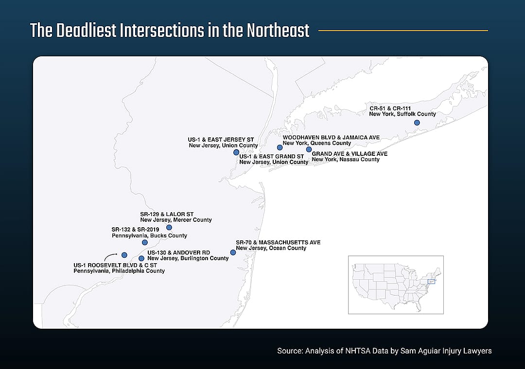
Here are the intersections with the most fatal crashes during the observation period:

Intersections present a unique set of hazards for drivers, cyclists, and pedestrians. Conflicting traffic patterns, limited visibility, and improper signaling often contribute to the high number of fatal accidents at these locations.
To better understand where motorists and other road users are at the highest risk of being killed, Sam Aguiar Injury Lawyers examined data from the National Highway Traffic Safety Administration on fatal accidents that took place between 2004 and 2022.
During that span, over 21,000 people were killed at intersections in the Northeastern United States—with urban areas being particularly dangerous due to higher traffic volumes.
Unlike other major U.S. regions, the Northeast saw a decline in intersection-related fatalities during the observation period. Fatal crashes dropped by 8.5%, while the number of fatalities decreased by 9%. Despite this overall improvement, the Northeast had the highest proportion of pedestrian-involved crashes at intersections, with 27% of all crashes involving at least one pedestrian.
Sam Aguiar Injury Lawyers
1 / 11Here are the intersections with the most fatal crashes during the observation period:
Google Earth // Landsat / Copernicus
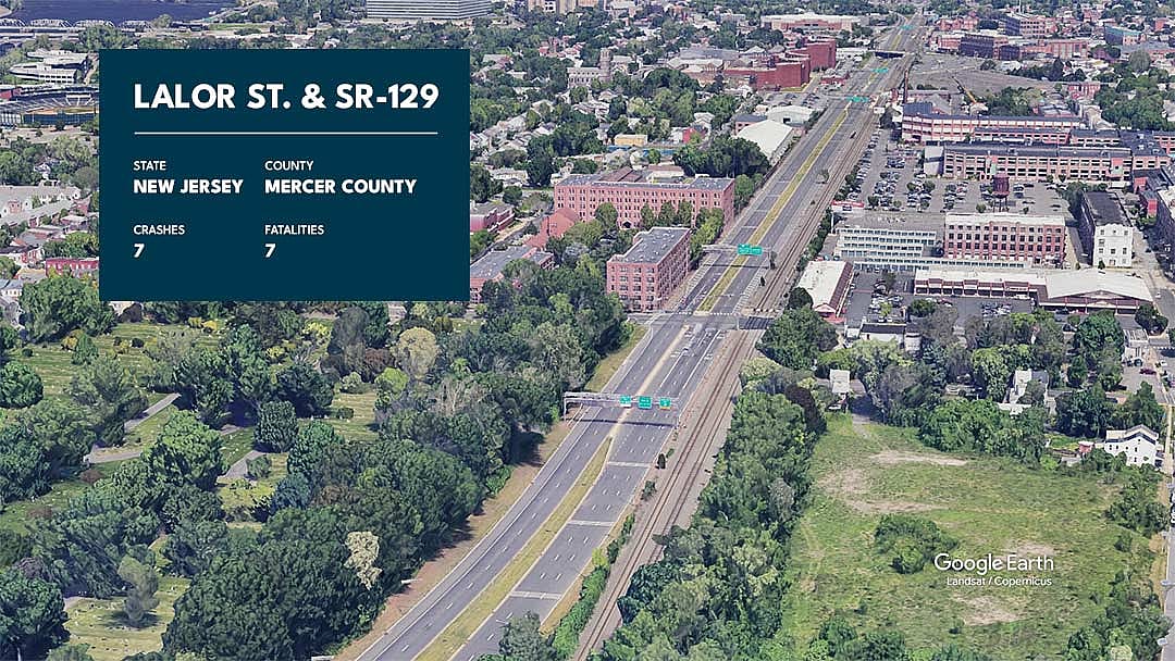
2 / 11With seven fatal crashes and seven fatalities, the intersection of Lalor Street and SR-129 in Mercer County, New Jersey is the deadliest in the Northeastern and among the five most dangerous intersections in the entire United States.
Mercer County, New Jersey
Google Earth // Landsat / Copernicus
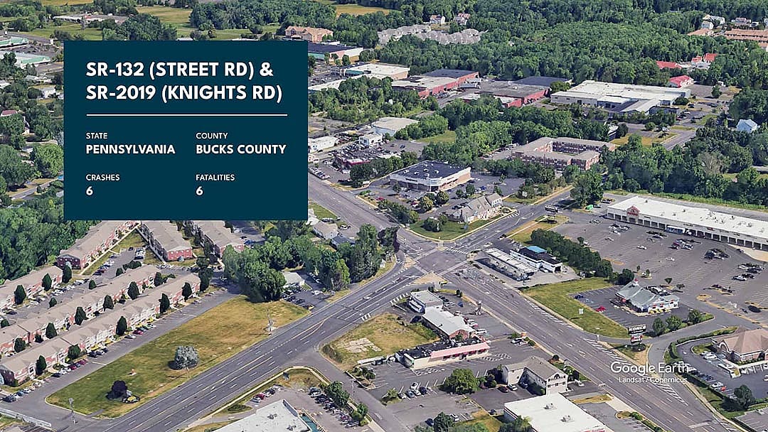
3 / 11Bucks County, Pennsylvania
Google Earth // Landsat / Copernicus
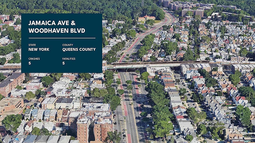
4 / 11Queens County, New York
Google Earth // Data SIO, NOAA, U.S. Navy
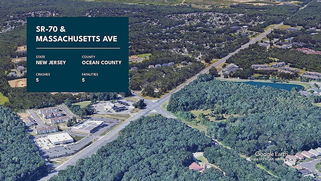
5 / 11Ocean County, New Jersey
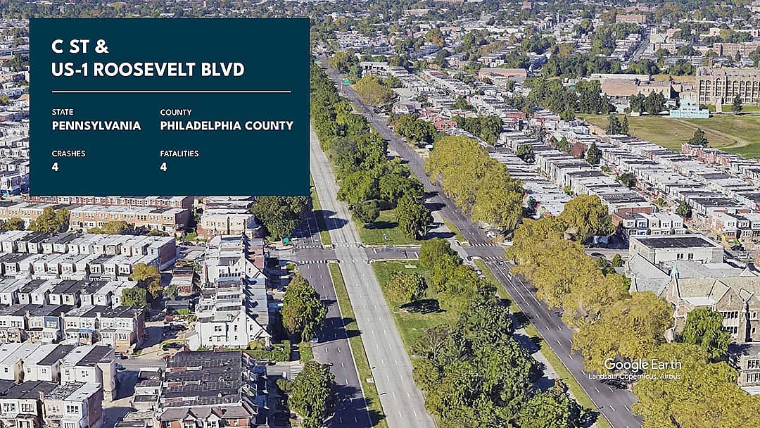
Google Earth // Landsat / Copernicus, Airbus
6 / 11Philadelphia County, Pennsylvania
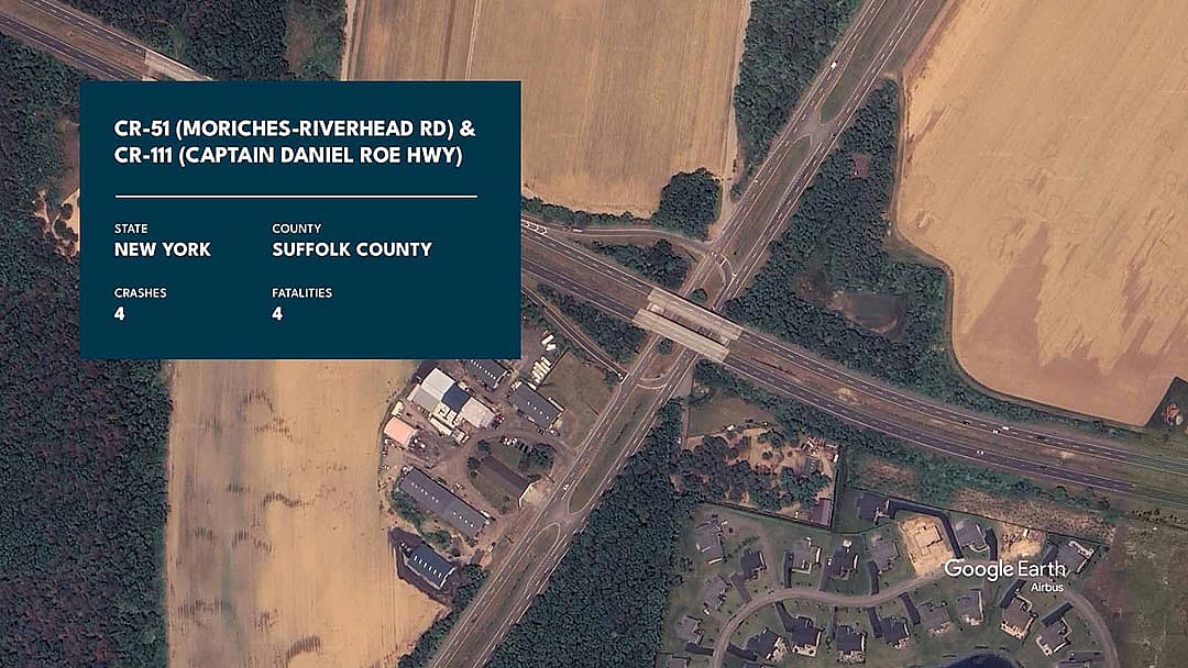
Google Earth // Airbus
7 / 11Suffolk County, New York
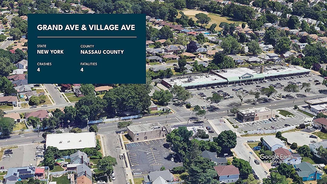
Google Earth // Data SIO, NOAA, U.S. Navy
8 / 11Nassau County, New York
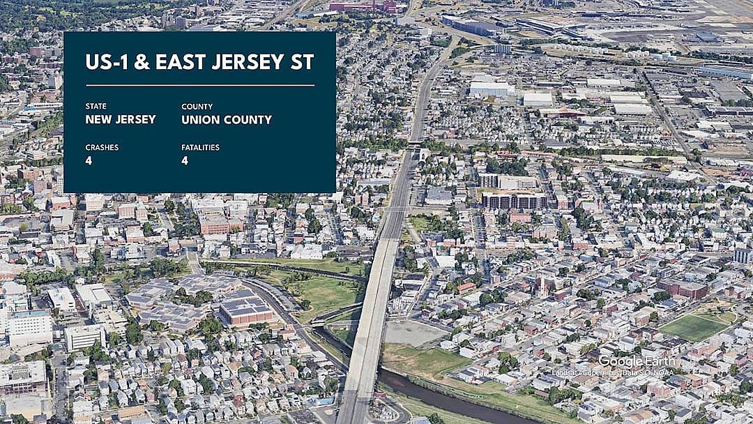
Google Earth // Landsat / Copernicus, Data SIO, NOAA
9 / 11Union County, New Jersey
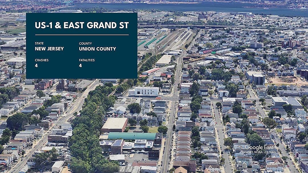
Google Earth // Data SIO, NOAA, U.S. Navy
10 / 11Union County, New Jersey
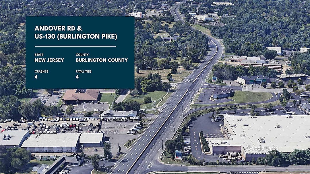
Google Earth // Landsat / Copernicus, Airbus, Data SIO
11 / 11Burlington County, New Jersey
This analysis is based on fatal crash data provided by the National Highway Traffic Safety Administration, or NHTSA, for the years 2004 through 2022. Only crashes marked as "intersection-related" by the NHTSA were included. The Northeastern region is defined by the Census Bureau and includes Connecticut, Maine, Massachusetts, New Hampshire, New Jersey, New York, Pennsylvania, Rhode Island, and Vermont.