Counties with the most tornadoes in Wisconsin

·Stacker

Canva
Canva

It's been a busy year for tornadoes in the U.S. According to the National Oceanic and Atmospheric Administration, as many as 1,155 twisters have touched down across the country since the start of the year, above the average for this time of year.

A single day can drive up tornado counts. March 31, 2023, accounted for 163 tornadoes across the Midwest and South. Tornado activity usually peaks in the spring and early summer, and the pace of tornadoes usually slows around late summer. A smaller-scale second tornado season emerges in the fall, mostly in the Gulf Coast states.

Stacker used data from NOAA's National Centers for Environmental Information to find the counties in Wisconsin that have experienced the most tornadoes since 2000. While data is available going back to 1950, tornado tracking by the National Weather Service became more robust and accurate in the 1990s. Since counties can vary in size, they are ranked by the number of tornadoes per 100 square miles. Counties that experienced less than five tornadoes are not included.

The counties that encounter the most tornadoes aren't all in the infamous Tornado Alley. When adjusted for county area, the top 10 counties that experienced the most tornadoes since 2000 are from nine different states, all in the Southeast with the exception of Cleveland County, Oklahoma.

Research has shown that Tornado Alley is shifting due to warming temperatures fueled by climate change. In the future, the Southeast could become the region that receives the bulk of the country's tornadoes. It's a concerning trend as the South is more populated than the Great Plains and has a higher concentration of mobile homes than other parts of the country, making the storms potentially deadlier and costlier.

As of August 2023, 75 people have died from tornadoes this year, and over 60% of those deaths occurred in mobile homes.

The best way to stay protected during tornadoes is to have multiple ways of receiving storm updates including social media, radio, television, and sirens, and to immediately seek shelter in a basement or interior room without windows when a tornado watch escalates to a warning.

Read on to see which counties experience the most tornadoes in Wisconsin.

You may also like: The 20 most competitive housing markets in Wisconsin

#49. Jackson County

Sam Wagner // Shutterstock

1 / 49

#49. Jackson County

- Tornadoes since 2000: 6 (0.61 per 100 square miles)
- #1,940 nationally
- Tornadoes this year, as of May 31: 0
#48. Marinette County

Canva

2 / 49

#48. Marinette County

- Tornadoes since 2000: 10 (0.71 per 100 square miles)
- #1,913 nationally
- Tornadoes this year, as of May 31: 0
#47. Portage County

Canva

3 / 49

#47. Portage County

- Tornadoes since 2000: 6 (0.75 per 100 square miles)
- #1,899 nationally
- Tornadoes this year, as of May 31: 0
#46. Wood County

John Touscany // Shutterstock

4 / 49

#46. Wood County

- Tornadoes since 2000: 6 (0.76 per 100 square miles)
- #1,894 nationally
- Tornadoes this year, as of May 31: 0
#45. Adams County

Jordan Krey // Shutterstock

5 / 49

#45. Adams County

- Tornadoes since 2000: 5 (0.77 per 100 square miles)
- #1,887 nationally
- Tornadoes this year, as of May 31: 0

You may also like: Highest-rated beer in Wisconsin
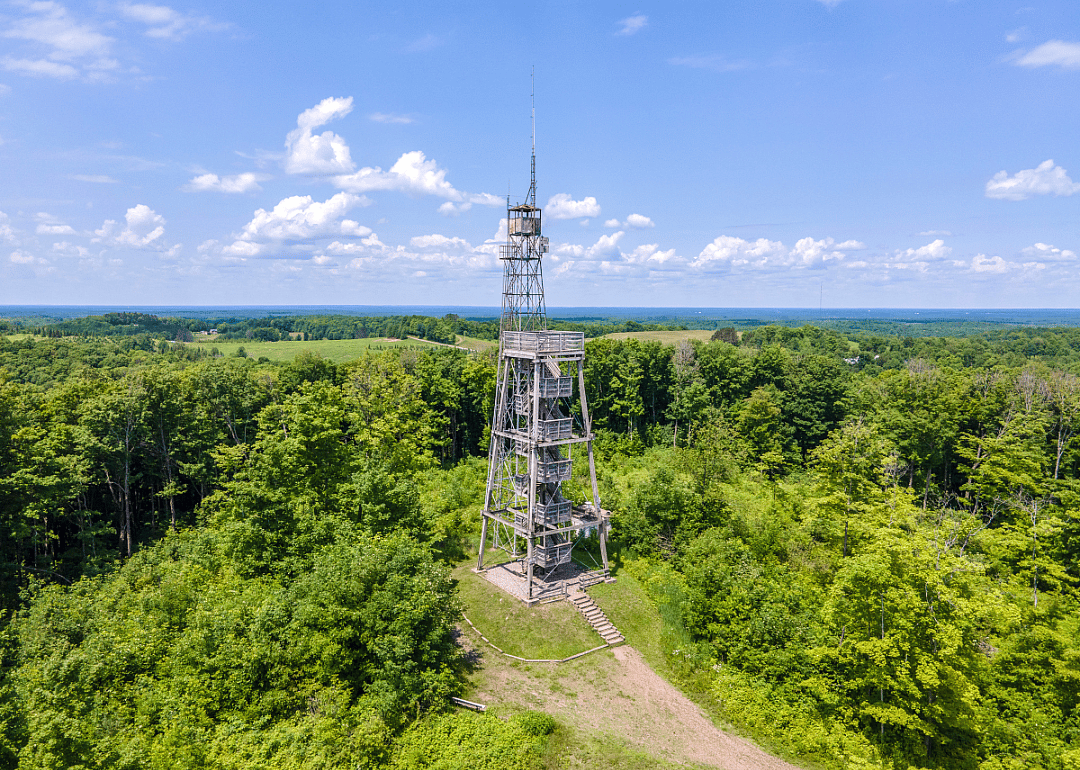
#44. Price County

Brent Kelley // Shutterstock

6 / 49

#44. Price County

- Tornadoes since 2000: 10 (0.80 per 100 square miles)
- #1,876 nationally
- Tornadoes this year, as of May 31: 0
#43. Oneida County

Keith Bell // Shutterstock

7 / 49

#43. Oneida County

- Tornadoes since 2000: 9 (0.81 per 100 square miles)
- #1,871 nationally
- Tornadoes this year, as of May 31: 0
#42. Richland County

Wirestock Creators // Shutterstock

8 / 49
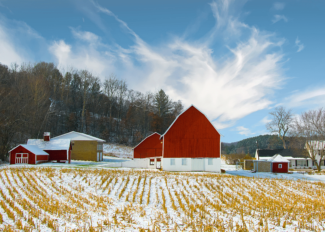
#42. Richland County

- Tornadoes since 2000: 5 (0.85 per 100 square miles)
- #1,847 nationally
- Tornadoes this year, as of May 31: 0
#41. Chippewa County

Canva

9 / 49

#41. Chippewa County

- Tornadoes since 2000: 9 (0.89 per 100 square miles)
- #1,831 nationally
- Tornadoes this year, as of May 31: 0
#39. Sauk County

Canva

11 / 49

#39. Sauk County

- Tornadoes since 2000: 8 (0.96 per 100 square miles)
- #1,797 nationally
- Tornadoes this year, as of May 31: 0
#38. Vernon County

Aaron of L.A. Photography // Shutterstock

12 / 49
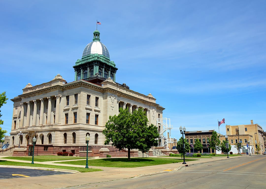
#38. Vernon County

- Tornadoes since 2000: 8 (1.01 per 100 square miles)
- #1,771 nationally
- Tornadoes this year, as of May 31: 0
#37. Manitowoc County

Canva

13 / 49

#37. Manitowoc County

- Tornadoes since 2000: 6 (1.02 per 100 square miles)
- #1,767 nationally
- Tornadoes this year, as of May 31: 0
#36. Dunn County

Patrick Lansing // Shutterstock

14 / 49
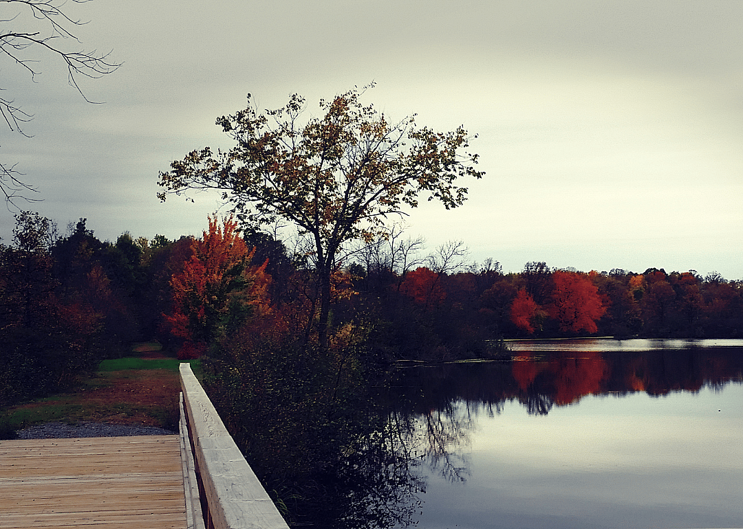
#36. Dunn County

- Tornadoes since 2000: 9 (1.06 per 100 square miles)
- #1,748 nationally
- Tornadoes this year, as of May 31: 0
#34. Burnett County

Canva

16 / 49

#34. Burnett County

- Tornadoes since 2000: 10 (1.22 per 100 square miles)
- #1,632 nationally
- Tornadoes this year, as of May 31: 0
#33. La Crosse County

Canva

17 / 49

#33. La Crosse County

- Tornadoes since 2000: 6 (1.33 per 100 square miles)
- #1,537 nationally
- Tornadoes this year, as of May 31: 0
#32. Monroe County

Canva

18 / 49

#32. Monroe County

- Tornadoes since 2000: 12 (1.33 per 100 square miles)
- #1,531 nationally
- Tornadoes this year, as of May 31: 0
#31. Lincoln County

Canva

19 / 49

#31. Lincoln County

- Tornadoes since 2000: 13 (1.48 per 100 square miles)
- #1,432 nationally
- Tornadoes this year, as of May 31: 0
#29. Trempealeau County

Canva

21 / 49

#29. Trempealeau County

- Tornadoes since 2000: 11 (1.50 per 100 square miles)
- #1,414 nationally
- Tornadoes this year, as of May 31: 0
#28. Barron County

Canva

22 / 49

#28. Barron County

- Tornadoes since 2000: 13 (1.51 per 100 square miles)
- #1,411 nationally
- Tornadoes this year, as of May 31: 0
#27. Waupaca County

Suzanne Tucker // Shutterstock

23 / 49

#27. Waupaca County

- Tornadoes since 2000: 12 (1.60 per 100 square miles)
- #1,351 nationally
- Tornadoes this year, as of May 31: 0
#26. Grant County

Canva

24 / 49

#26. Grant County

- Tornadoes since 2000: 19 (1.66 per 100 square miles)
- #1,306 nationally
- Tornadoes this year, as of May 31: 0
#24. Dodge County

Canva

26 / 49

#24. Dodge County

- Tornadoes since 2000: 15 (1.71 per 100 square miles)
- #1,269 nationally
- Tornadoes this year, as of May 31: 0
#23. Shawano County

Canva

27 / 49

#23. Shawano County

- Tornadoes since 2000: 16 (1.79 per 100 square miles)
- #1,212 nationally
- Tornadoes this year, as of May 31: 0
#22. St. Croix County

Canva

28 / 49

#22. St. Croix County

- Tornadoes since 2000: 13 (1.80 per 100 square miles)
- #1,207 nationally
- Tornadoes this year, as of May 31: 0
#21. Waushara County

Canva

29 / 49

#21. Waushara County

- Tornadoes since 2000: 12 (1.92 per 100 square miles)
- #1,121 nationally
- Tornadoes this year, as of May 31: 0
#20. Polk County

Ken Wolter // Shutterstock

30 / 49

#20. Polk County

- Tornadoes since 2000: 18 (1.97 per 100 square miles)
- #1,084 nationally
- Tornadoes this year, as of May 31: 0

You may also like: Highest-rated IPAs in Wisconsin

#19. Pierce County

Canva

31 / 49

#19. Pierce County

- Tornadoes since 2000: 12 (2.09 per 100 square miles)
- #991 nationally
- Tornadoes this year, as of May 31: 0
#18. Iowa County

Canva

32 / 49

#18. Iowa County

- Tornadoes since 2000: 16 (2.10 per 100 square miles)
- #985 nationally
- Tornadoes this year, as of May 31: 2
#17. Marquette County

Canva

33 / 49

#17. Marquette County

- Tornadoes since 2000: 10 (2.19 per 100 square miles)
- #935 nationally
- Tornadoes this year, as of May 31: 0
#16. Lafayette County

Barbara Smits // Shutterstock

34 / 49

#16. Lafayette County

- Tornadoes since 2000: 14 (2.21 per 100 square miles)
- #924 nationally
- Tornadoes this year, as of May 31: 2
#14. Washington County

Canva

36 / 49

#14. Washington County

- Tornadoes since 2000: 10 (2.32 per 100 square miles)
- #846 nationally
- Tornadoes this year, as of May 31: 0
#13. Brown County

Canva

37 / 49

#13. Brown County

- Tornadoes since 2000: 13 (2.45 per 100 square miles)
- #748 nationally
- Tornadoes this year, as of May 31: 0
#12. Walworth County

Canva

38 / 49

#12. Walworth County

- Tornadoes since 2000: 14 (2.52 per 100 square miles)
- #721 nationally
- Tornadoes this year, as of May 31: 6
#11. Waukesha County

Canva

39 / 49

#11. Waukesha County

- Tornadoes since 2000: 14 (2.55 per 100 square miles)
- #706 nationally
- Tornadoes this year, as of May 31: 1
#9. Kenosha County

Canva

41 / 49

#9. Kenosha County

- Tornadoes since 2000: 7 (2.57 per 100 square miles)
- #694 nationally
- Tornadoes this year, as of May 31: 0
#8. Racine County

Canva

42 / 49

#8. Racine County

- Tornadoes since 2000: 9 (2.71 per 100 square miles)
- #630 nationally
- Tornadoes this year, as of May 31: 0
#7. Dane County

Paul Brady Photography // Shutterstock

43 / 49

#7. Dane County

- Tornadoes since 2000: 37 (3.09 per 100 square miles)
- #464 nationally
- Tornadoes this year, as of May 31: 1
#6. Calumet County

Canva

44 / 49

#6. Calumet County

- Tornadoes since 2000: 10 (3.14 per 100 square miles)
- #443 nationally
- Tornadoes this year, as of May 31: 0
#5. Outagamie County

Canva

45 / 49

#5. Outagamie County

- Tornadoes since 2000: 21 (3.29 per 100 square miles)
- #384 nationally
- Tornadoes this year, as of May 31: 0

You may also like: Best counties to retire to in Wisconsin
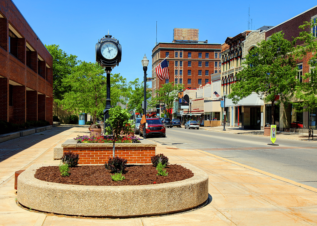
#4. Fond du Lac County

Canva

46 / 49

#4. Fond du Lac County

- Tornadoes since 2000: 26 (3.61 per 100 square miles)
- #302 nationally
- Tornadoes this year, as of May 31: 0
#3. Winnebago County

Canva

47 / 49

#3. Winnebago County

- Tornadoes since 2000: 21 (4.83 per 100 square miles)
- #120 nationally
- Tornadoes this year, as of May 31: 0
#2. Jefferson County

spiritbridge // Shutterstock

48 / 49

#2. Jefferson County

- Tornadoes since 2000: 27 (4.85 per 100 square miles)
- #119 nationally
- Tornadoes this year, as of May 31: 2
#1. Green Lake County

Maarten Daams // Shutterstock

49 / 49

#1. Green Lake County

- Tornadoes since 2000: 18 (5.15 per 100 square miles)
- #94 nationally
- Tornadoes this year, as of May 31: 0