See how much of Arkansas is experiencing drought conditions
See how much of Arkansas is experiencing drought conditions
Nearly one-third of Americans experienced a weather disaster this summer, giving them first-hand experience into a future of extreme hurricanes, wildfires, storms, and floods caused by global climate change. Data from the National Oceanic and Atmospheric Administration (NOAA) and NASA both show rapid warming in the 21st century, with the past decade being the hottest on record. According to The Washington Post, the cost of responding to these weather disasters is more than $81 billion per year.
Among those disasters were several significant, costly, and deadly droughts. Droughts are among the most destructive forces in nature—only hurricanes are more economically damaging to the United States. Destroyed crops ripple through the economy, with animal feed prices increasing, which can indirectly raise the price of meats and animal products like milk and cheese. The annual losses due to drought are near $9 billion per year. Droughts also contribute to wildfires, increasing the likelihood of ignition and making them more extreme when they do happen.
Stacker ranked each state and Washington D.C., based on the average percentage of the state land that experienced drought conditions in the 20-year period from 2000 to March 2021, using data from the U.S. Drought Monitor (USDM). The USDM categories drought conditions using a five point scale ranging from "abnormally dry," indicating some short-term crop dryness or a lingering water deficit, to "exceptional drought," a serious condition involving a water emergency that leads to widespread crop/pasture losses.
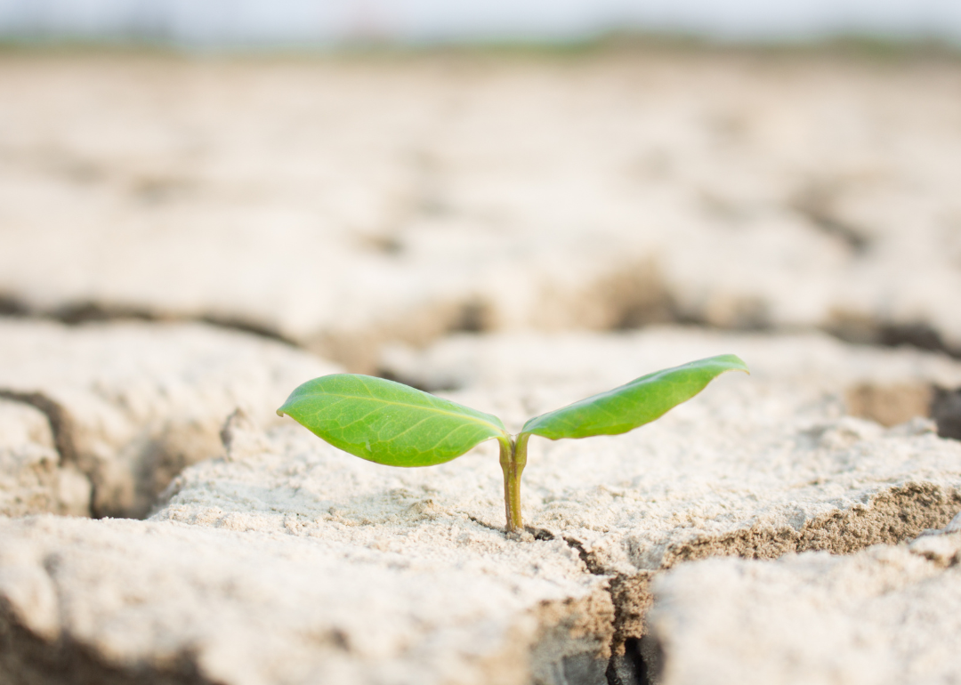
Arkansas by the numbers
- Share of state experiencing drought conditions (20-year average): 18,544 sq. mi. (34.9% of land area); 1,019,040 people (34.9% of population)
--- Moderate drought: 9,965 sq. mi. (18.7% of land area); 532,590 people (18.3% of population)
--- Severe drought: 4,614 sq. mi. (8.7% of land area); 238,895 people (8.2% of population)
--- Extreme drought: 1,474 sq. mi. (2.8% of land area); 78,133 people (2.7% of population)
--- Exceptional drought: 232 sq. mi. (0.4% of land area); 13,294 people (0.5% of population)
Extreme dry spells baked the state in the late 2000s and the early 2010s, but even that was insignificant to the drought of 1930–31. That historic event struck eight southern states, but none worse than Arkansas, where record low rainfall and record high temperatures piled onto the calamities of the 1929 stock market crash, the flood of 1927, and an outbreak of deadly tornadoes.
The entire national list, including descriptions of the conditions that led to or prevented drought in each state and the events leading up to the state's change in drought status, can be found here. Continue reading to learn which states experience the worst droughts.
Most drought-ridden states
#1. Arizona
- Share of state experiencing drought conditions (20-year average): 87,702 sq. mi. (76.9% of land area); 4,867,057 people (76.1% of population)
#2. Nevada
- Share of state experiencing drought conditions (20-year average): 78,717 sq. mi. (71.2% of land area); 1,942,485 people (71.9% of population)
#3. New Mexico
- Share of state experiencing drought conditions (20-year average): 84,806 sq. mi. (69.8% of land area); 1,455,107 people (70.7% of population)
Least drought-ridden states
#1. Ohio
- Share of state experiencing drought conditions (20-year average): 6,631 sq. mi. (16.1% of land area); 1,815,050 people (15.7% of population)
#2. Alaska
- Share of state experiencing drought conditions (20-year average): 95,420 sq. mi. (16.4% of land area); 159,582 people (23.2% of population)
#3. New York
- Share of state experiencing drought conditions (20-year average): 8,721 sq. mi. (18.0% of land area); 4,174,482 people (21.5% of population)