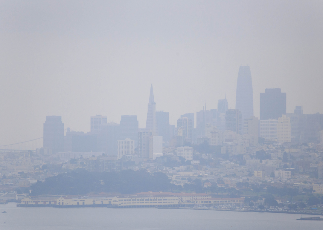
US cities with the dirtiest air
According to the American Lung Association's 2025 State of the Air report, 46% of people living in the United States—around 156.1 million people—live in places with unhealthy air quality. That's almost 25 million more people compared to the 2024 report. Additionally, the report shows that vulnerable communities—people of color, people experiencing poverty, children, and people with underlying health conditions—are disproportionately impacted. Poor air quality, including unhealthy ozone or particle pollution, can lead to long-term health effects, including respiratory and cardiovascular issues that can lead to premature death.
Air quality can be impacted and degraded by industrial emissions, ambient emissions such as those from cars and residential heating systems, and natural events, including wildfires and drought. Air quality can vary significantly by season and by region, even within the same city. In most places, several sources simultaneously contribute to unclean air, including ozone and particle pollution. As noted in the 2025 State of the Air report, more than 125 million Americans live in counties with unhealthy amounts of ozone smog, and roughly 85 million Americans live in counties with high year-round particle pollution.
Outside of the U.S., pollution levels could soon worsen around the world. For more than a decade, U.S. embassies monitored air pollution in cities like Beijing and Mumbai. Though this led to air quality improvements in some metropolitan areas, the practice came to an abrupt end in March 2025 as a result of federal budget cuts, raising fears that global pollution levels may soon spiral out of control.
To learn where the air is dirtiest here in the U.S., Stacker analyzed the 2021 Air Quality Statistics Report from the Environmental Protection Agency, released in May 2022, to compile a list of the 50 cities with the dirtiest air.
To help track air quality around the country, the Environmental Protection Agency created National Ambient Air Quality Standards. The two most relevant thresholds are 150 micrograms of pollutants per cubic meter of air over a 24-hour period for coarse particulate matter (PM10) and 12 micrograms of pollutants for fine particulate matter (PM2.5).
Air quality was ranked according to the amount of coarse particulate matter (PM10) in metropolitan areas. The higher the amount of particulate matter, the dirtier the quality of air. In the case of cities with equal amounts of particulate matter, the city with dirtier air was determined by which city had the highest particulate matter on the second dirtiest day.
Data on coarse particulate matter was available for 176 metropolitan areas. Rankings were determined by typical or average values. Exceptionally high or low values were regarded as outliers and not used to quantify the mean average particulate matter upon which the rankings were based. We also included other explainers as to factors, such as industries and climate factors, that could also account for low air quality in these cities.

#50. Sandpoint, Idaho
- Average coarse particulate matter (PM10): 25 μg/m^3
- PM10 2nd Max 24-hr: 177 μg/m^3 (18.0% above EPA standards)
- Average fine particulate matter (PM2.5): Not available
Idaho's air quality is most significantly and negatively impacted by wildfires, both in-state and those burning in neighboring states to the west. Over the last decade, Idaho's air quality has reached unhealthy-to-hazardous ranges due to an increase in wildfires and wind patterns blowing toxic smoke from west to east.
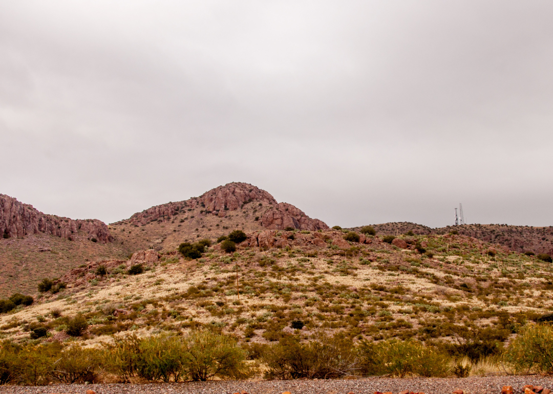
#49. Deming, New Mexico
- Average coarse particulate matter (PM10): 25 μg/m^3
- PM10 2nd Max 24-hr: 193 μg/m^3 (28.7% above EPA standards)
- Average fine particulate matter (PM2.5): Not available
Wildfires pose the greatest air quality risk in Deming. The new infrastructure being built in the region as part of the Biden Administration's Bipartisan Infrastructure Law, while a boon for safer and more efficient transportation, may bring great levels of vehicle emissions.
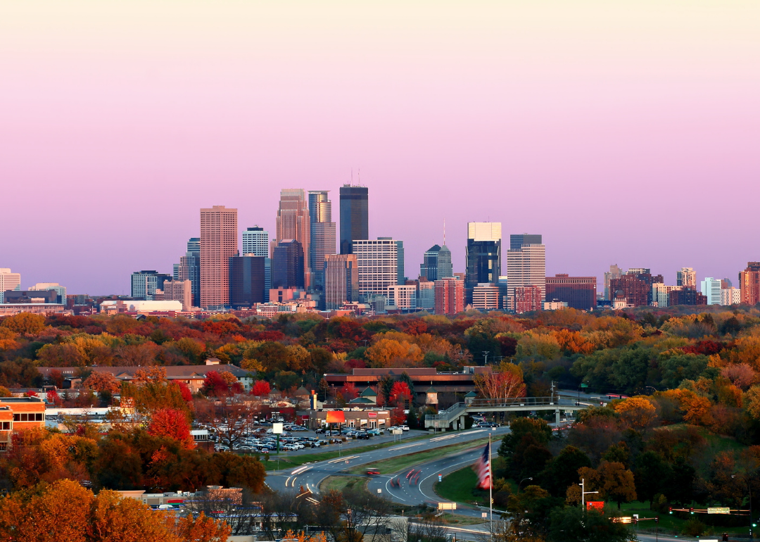
#48. Minneapolis-St. Paul-Bloomington, Minnesota
- Average coarse particulate matter (PM10): 26 μg/m^3
- PM10 2nd Max 24-hr: 101 μg/m^3 (32.7% below EPA standards)
- Average fine particulate matter (PM2.5): 8.8 μg/m^3 (26.7% below EPA standards)
Winter air stagnation has been a problem for the Minneapolis-St. Paul-Bloomington region. Light winds and little to no precipitation mean that pollutants cannot be cleared from the air and stay trapped close to the ground under pressure systems.
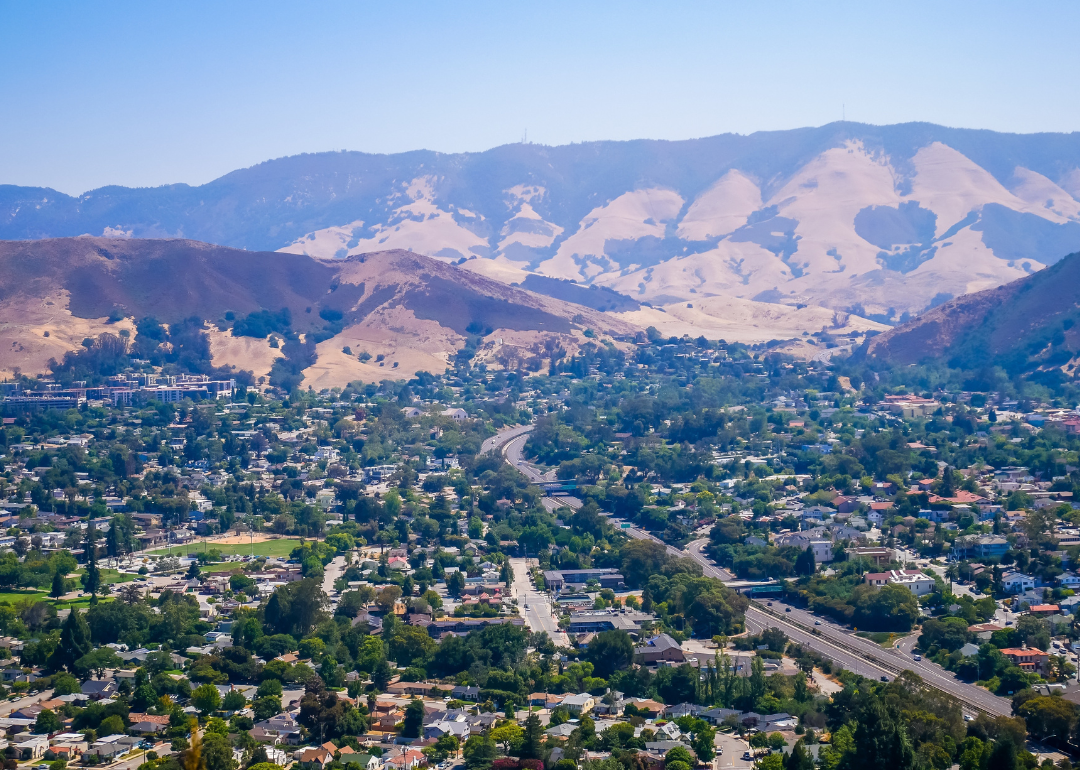
#47. San Luis Obispo-Paso Robles-Arroyo Grande, California
- Average coarse particulate matter (PM10): 26 μg/m^3
- PM10 2nd Max 24-hr: 115 μg/m^3 (23.3% below EPA standards)
- Average fine particulate matter (PM2.5): 8 μg/m^3 (33.3% below EPA standards)
Wildfires and dust pollution from the Oceano Dunes are the primary contributors to poor air quality in the region.

#46. Joplin, Missouri
- Average coarse particulate matter (PM10): 26 μg/m^3
- PM10 2nd Max 24-hr: 120 μg/m^3 (20.0% below EPA standards)
- Average fine particulate matter (PM2.5): Not available
Vehicle and industrial emissions and volatile organic compounds are primarily to blame for low air quality in Joplin. In 2022, ProPublica identified several regions of southwest Missouri, close to where Joplin is located, as hot spots of toxic air pollution. A town located under an hour from Joplin was estimated to have an industrial cancer risk 27 times what the EPA considers acceptable.

#45. Chico, California
- Average coarse particulate matter (PM10): 26 μg/m^3
- PM10 2nd Max 24-hr: 129 μg/m^3 (14.0% below EPA standards)
- Average fine particulate matter (PM2.5): 11.1 μg/m^3 (7.5% below EPA standards)
Air pollution in Chico is caused by a mixture of vehicular emissions, agricultural dust, fossil fuel production emissions, household energy utilization, and wildfires. Chico's location at the base of the Sacramento Valley, surrounded by the Cascade Range to the north and the Sierra Nevada range to the east and south, enables emissions to accumulate in its lower atmosphere.
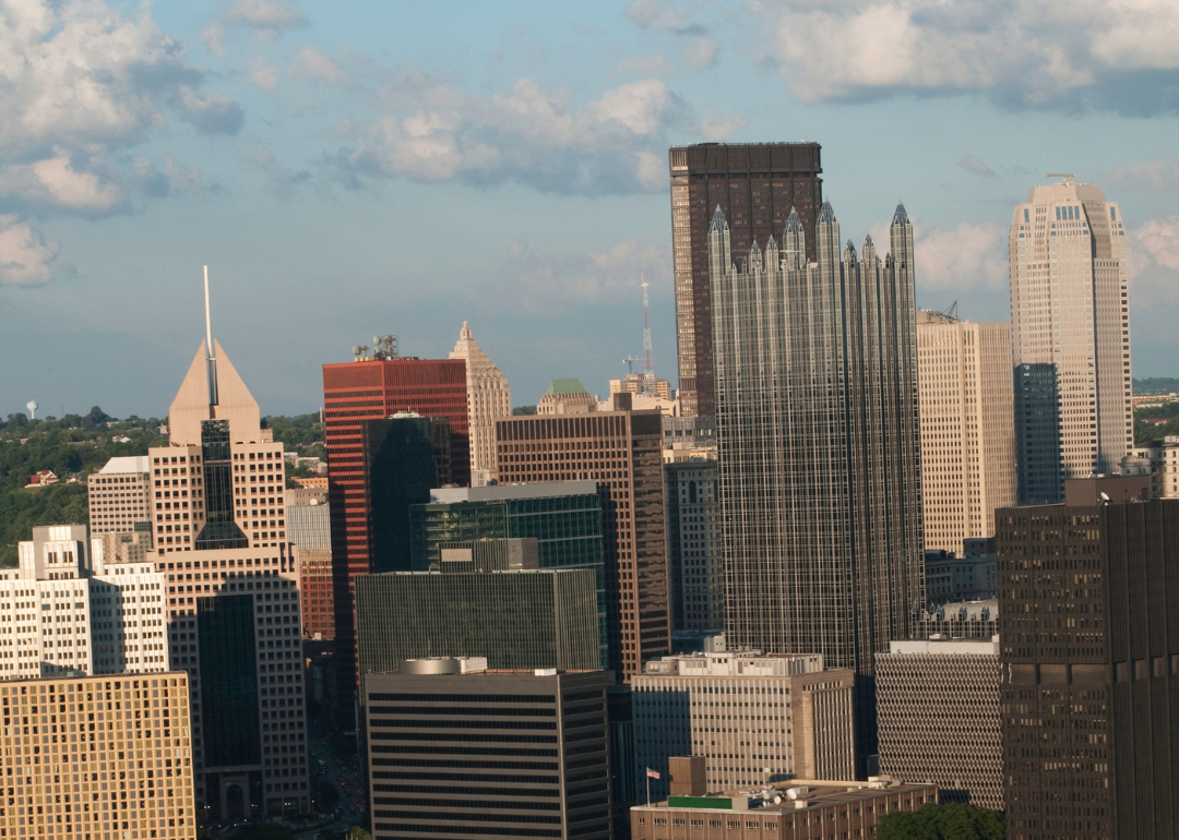
#44. Pittsburgh, Pennsylvania
- Average coarse particulate matter (PM10): 27 μg/m^3
- PM10 2nd Max 24-hr: 81 μg/m^3 (46.0% below EPA standards)
- Average fine particulate matter (PM2.5): 12.9 μg/m^3 (7.5% above EPA standards)
More than half of Pittburgh's pollution can be traced to industrial sources like steel plants. Vehicular emissions are also a contributing factor, disproportionately impacting low-income neighborhoods in Allegheny County.
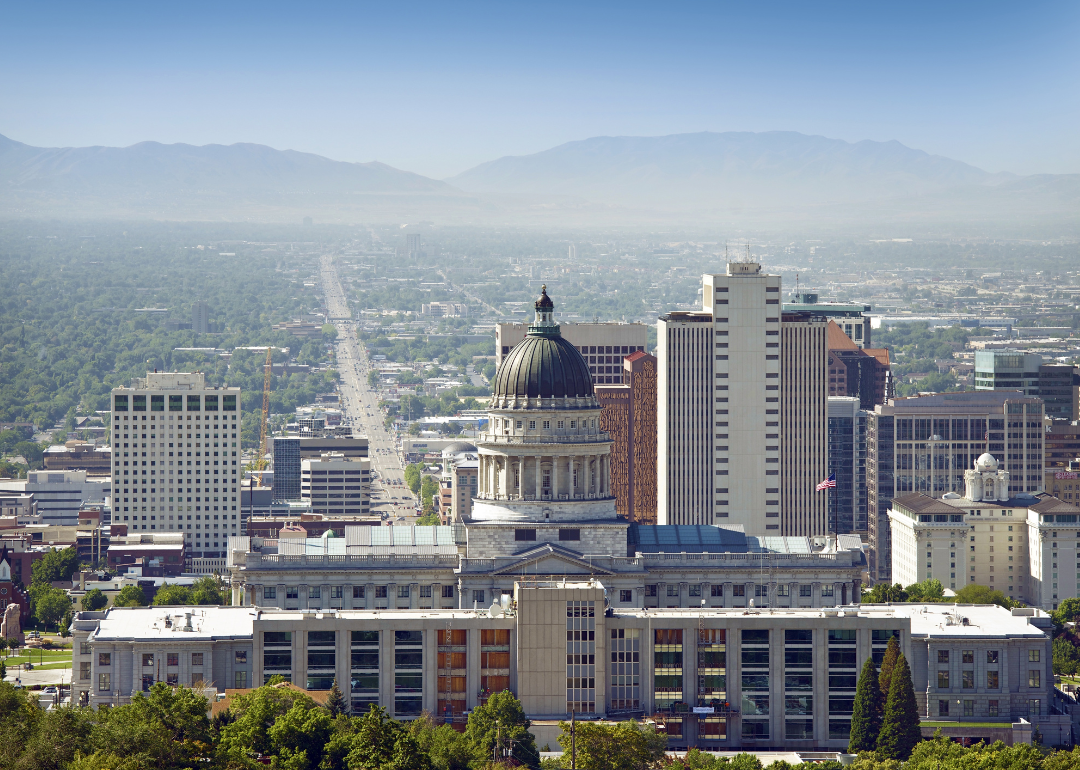
#43. Salt Lake City, Utah
- Average coarse particulate matter (PM10): 27 μg/m^3
- PM10 2nd Max 24-hr: 103 μg/m^3 (31.3% below EPA standards)
- Average fine particulate matter (PM2.5): 11 μg/m^3 (8.3% below EPA standards)
Low water levels of the Great Salt Lake coupled with dry conditions allow toxic dust from the lakebed to be kicked up into the atmosphere by the wind. This toxic dust includes metals and arsenic, which can be carried and distributed over great distances.

#42. Pahrump, Nevada
- Average coarse particulate matter (PM10): 27 μg/m^3
- PM10 2nd Max 24-hr: 134 μg/m^3 (10.7% below EPA standards)
- Average fine particulate matter (PM2.5): Not available
Most of Pahrump's coarse particulate matter pollution comes from the use or disturbance of unpaved roads and vacant lands, according to the Nevada Division of Environmental Protection. The Pahrump Valley often experiences high winds and dust storms, so when disturbances of roads and land kick up dust, it can quickly become hazardous under the right conditions.
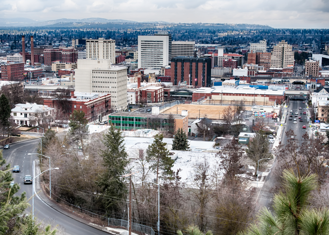
#41. Spokane-Spokane Valley, Washington
- Average coarse particulate matter (PM10): 27 μg/m^3
- PM10 2nd Max 24-hr: 138 μg/m^3 (8.0% below EPA standards)
- Average fine particulate matter (PM2.5): 11.4 μg/m^3 (5.0% below EPA standards)
Wind patterns and wildfire smoke from neighboring states such as Montana are the primary cause of low air quality in the region.
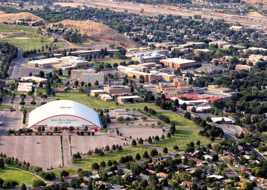
#40. Pocatello, Idaho
- Average coarse particulate matter (PM10): 27 μg/m^3
- PM10 2nd Max 24-hr: 147 μg/m^3 (2.0% below EPA standards)
- Average fine particulate matter (PM2.5): Not available
Seasonal wildfires which continue to grow more intense in the west are producing massive amounts of particulate matter air pollution. Because Pocatello is surrounded by mountains, air pollutants from fires are more easily trapped in that topographical region.
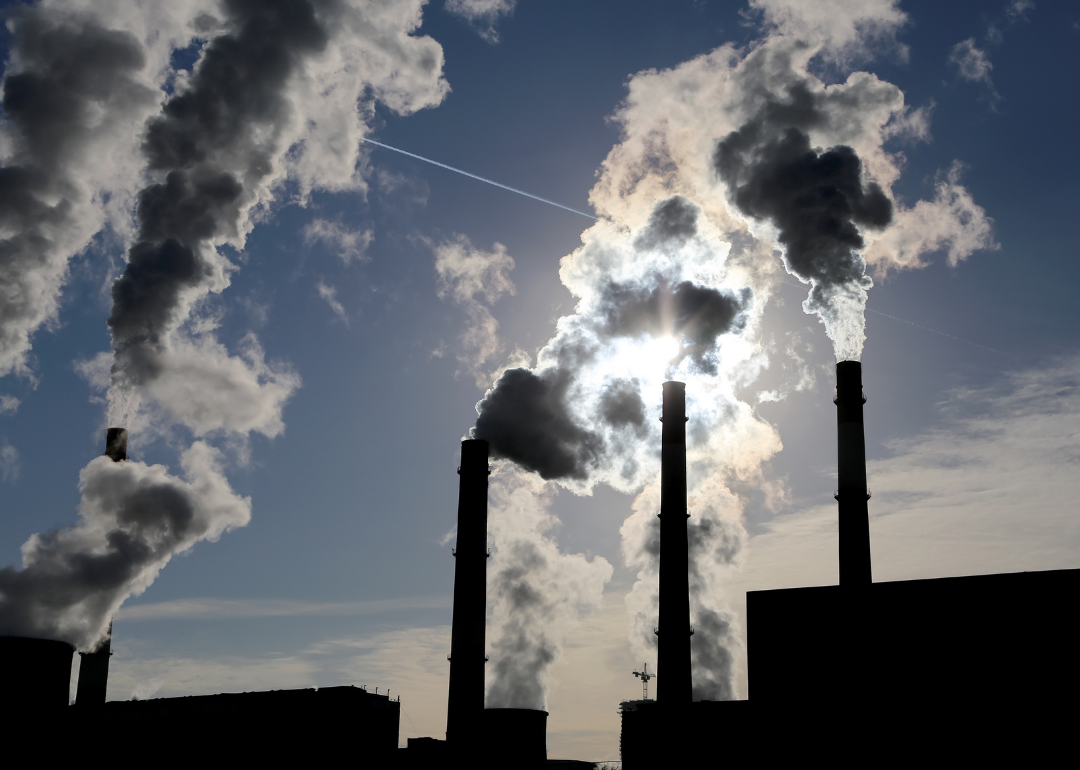
#39. Cleveland-Elyria, Ohio
- Average coarse particulate matter (PM10): 28 μg/m^3
- PM10 2nd Max 24-hr: 89 μg/m^3 (40.7% below EPA standards)
- Average fine particulate matter (PM2.5): 12.7 μg/m^3 (5.8% above EPA standards)
Much of Cleveland's air pollution comes from coal-burning power plants and vehicle emissions, which come from cars, trucks, trains, and boats in the area. Byproducts of lawn care equipment used in the region also contribute to pollution.

#38. Kalispell, Montana
- Average coarse particulate matter (PM10): 28 μg/m^3
- PM10 2nd Max 24-hr: 93 μg/m^3 (38.0% below EPA standards)
- Average fine particulate matter (PM2.5): 7.8 μg/m^3 (35.0% below EPA standards)
Wildfire smoke is the main source of unhealthy air in Kalispell. The fossil fuel industry is also prevalent in Montana. In 2020, activists sued the state for violating the state Constitution that guarantees residents "the right to a clean and healthful environment."

#37. Boise, Idaho
- Average coarse particulate matter (PM10): 28 μg/m^3
- PM10 2nd Max 24-hr: 113 μg/m^3 (24.7% below EPA standards)
- Average fine particulate matter (PM2.5): 10.1 μg/m^3 (15.8% below EPA standards)
Boise is subject to the pollution caused by a rapidly growing population—such as vehicular emissions and residential wood burning, as well as wildfires in the region. Its location in a valley makes it more difficult for ozone and fine particulate matter to be cleared from the atmosphere.
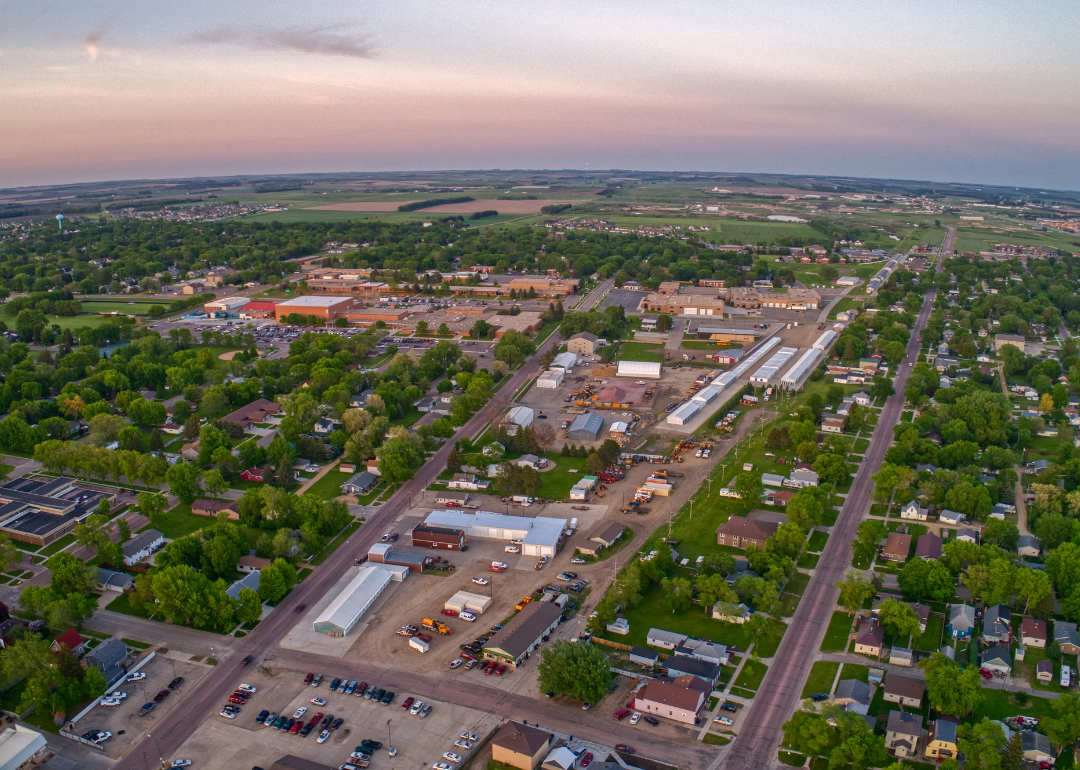
#36. Watertown, South Dakota
- Average coarse particulate matter (PM10): 28 μg/m^3
- PM10 2nd Max 24-hr: 143 μg/m^3 (4.7% below EPA standards)
- Average fine particulate matter (PM2.5): 9.2 μg/m^3 (23.3% below EPA standards)
Watertown is vulnerable to the effects of Canadian wildfires that burn to the north. Wind can carry smoke from Alberta to North and South Dakota, and parts of Minnesota.
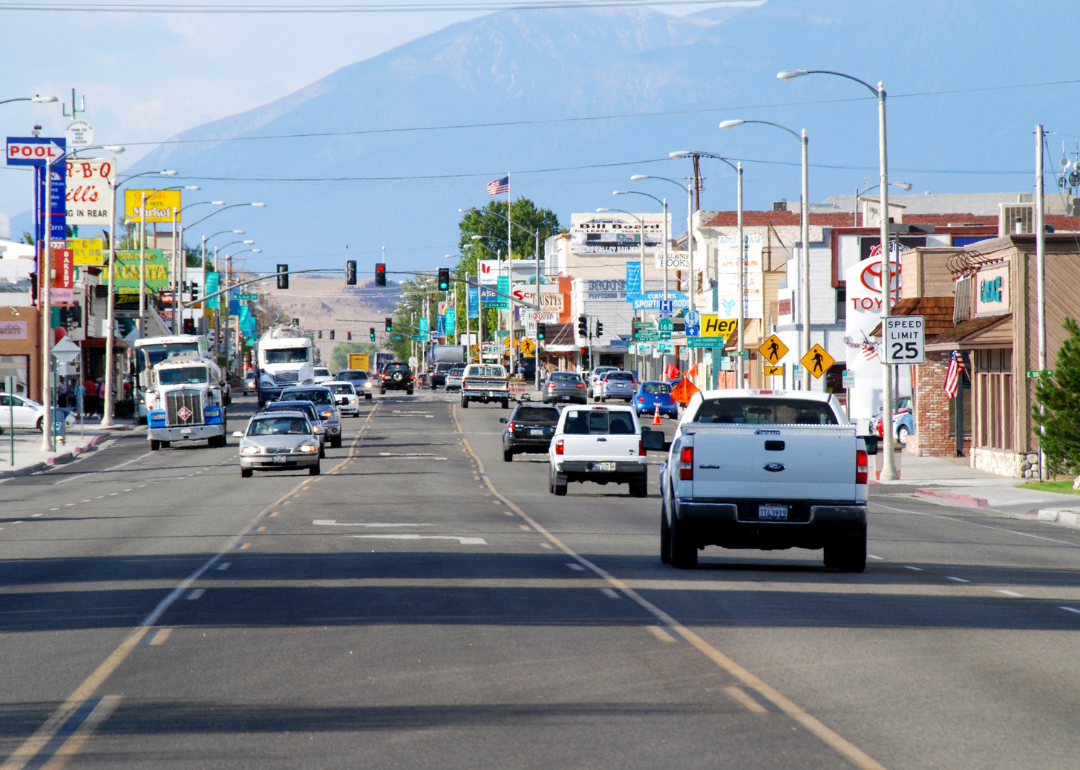
#35. Bishop, California
- Average coarse particulate matter (PM10): 28 μg/m^3
- PM10 2nd Max 24-hr: 262 μg/m^3 (74.7% above EPA standards)
- Average fine particulate matter (PM2.5): 9.7 μg/m^3 (19.2% below EPA standards)
Dust is the primary air pollutant in the Bishop region, worsened by extensive drought conditions in the west. Wildfires from surrounding areas have also blanketed Bishop with hazardous smoke and ash.
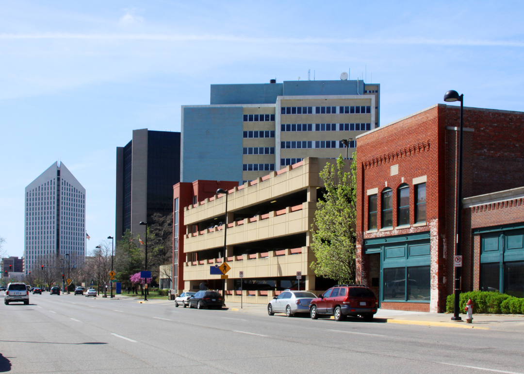
#34. Wichita, Kansas
- Average coarse particulate matter (PM10): 31 μg/m^3
- PM10 2nd Max 24-hr: 89 μg/m^3 (40.7% below EPA standards)
- Average fine particulate matter (PM2.5): 11.3 μg/m^3 (5.8% below EPA standards)
Smoke from seasonal rangeland burning contributes to bouts of poor air quality in Wichita. The controlled burns, which typically occur in March and April, are necessary for ranchers to control invasive species, foster better grazing for cattle, and preserve the tallgrass prairie ecosystem. Vehicular and industrial emissions are also at play in Wichita.
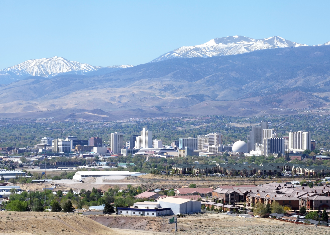
#33. Reno, Nevada
- Average coarse particulate matter (PM10): 31 μg/m^3
- PM10 2nd Max 24-hr: 284 μg/m^3 (89.3% above EPA standards)
- Average fine particulate matter (PM2.5): 12.4 μg/m^3 (3.3% above EPA standards)
Air pollution in Reno can largely be attributed to regional wildfires. Its position in the Truckee Meadows Valley makes it a prime location for pollution to settle and difficult for the environment to naturally clear.
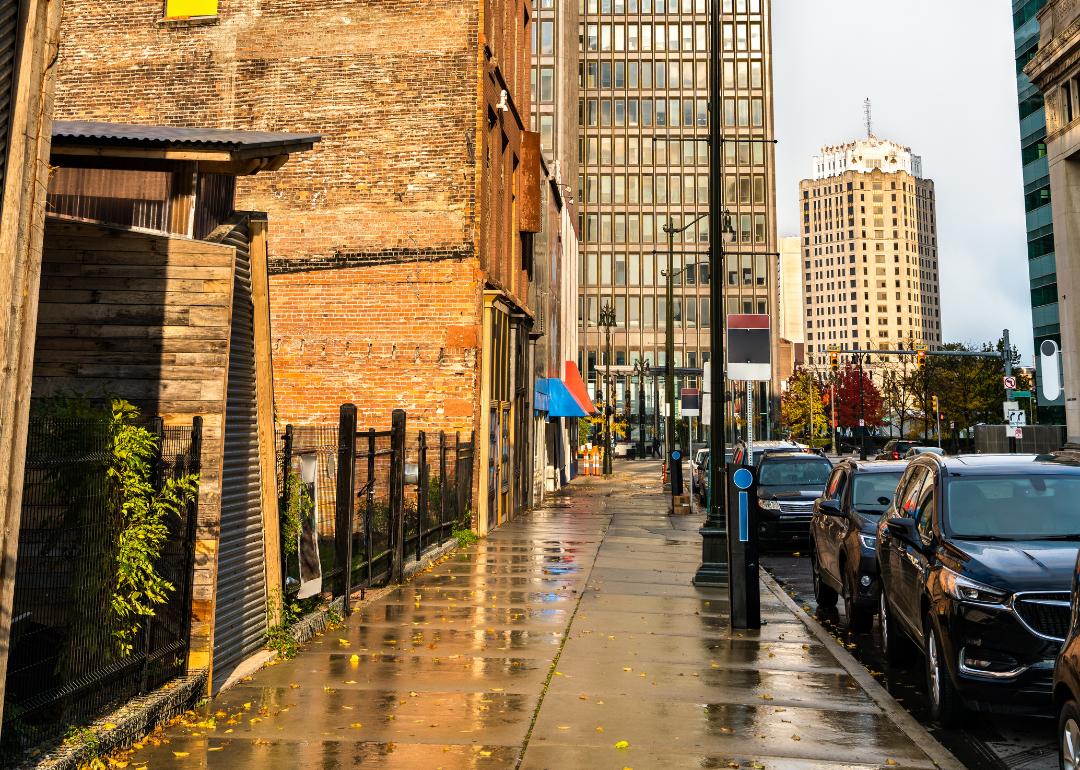
#32. Detroit-Warren-Dearborn, Michigan
- Average coarse particulate matter (PM10): 32 μg/m^3
- PM10 2nd Max 24-hr: 85 μg/m^3 (43.3% below EPA standards)
- Average fine particulate matter (PM2.5): 12.4 μg/m^3 (3.3% above EPA standards)
Industrial sources are the main contributors to air pollution in the region. Southwest Detroit alone is home to an oil refinery, steel mill, wastewater treatment plant, a coal-fired power plant and a gas-fired power plant, heavily traveled highways, and a six-lane bridge.

#31. St. Joseph, Missouri
- Average coarse particulate matter (PM10): 32 μg/m^3
- PM10 2nd Max 24-hr: 114 μg/m^3 (24.0% below EPA standards)
- Average fine particulate matter (PM2.5): 8.4 μg/m^3 (30.0% below EPA standards)
As is characteristic of many other locations throughout Missouri, St. Joseph's air quality is negatively impacted mainly by industrial and ambient emissions.
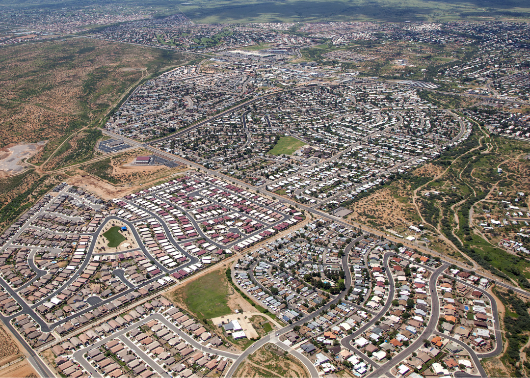
#30. Sierra Vista-Douglas, Arizona
- Average coarse particulate matter (PM10): 32 μg/m^3
- PM10 2nd Max 24-hr: 132 μg/m^3 (12.0% below EPA standards)
- Average fine particulate matter (PM2.5): Not available
The Sierra Vista-Douglas region is prone to air pollution from wildfires and dust from prolonged drought conditions.
#29. St. Louis, Missouri
- Average coarse particulate matter (PM10): 32 μg/m^3
- PM10 2nd Max 24-hr: 161 μg/m^3 (7.3% above EPA standards)
- Average fine particulate matter (PM2.5): 10.6 μg/m^3 (11.7% below EPA standards)
Industrial sources are a primary cause of air pollution in St. Louis. In March 2023, the EPA released an order called the Good Neighbor Rule, instructing Missouri and 22 other states to reduce air pollution levels, particularly industrial emissions. Nitrous oxides emitted from industrial facilities contribute to dangerous ground-level ozone.
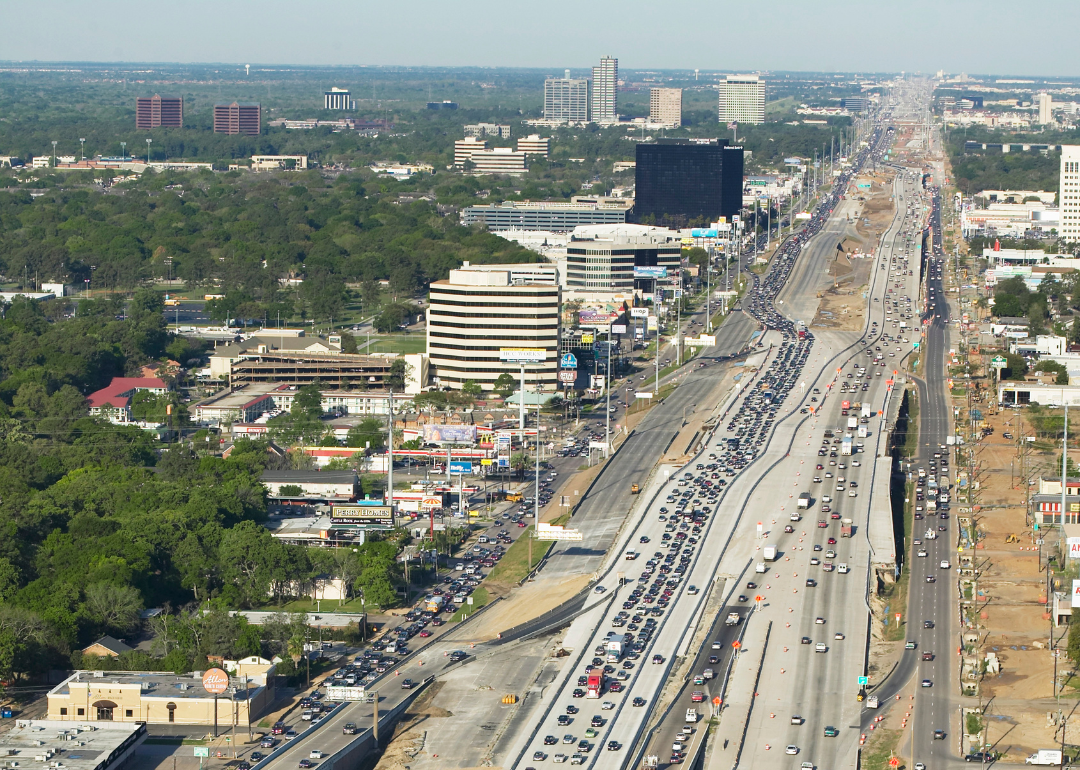
#28. Houston-The Woodlands-Sugar Land, Texas
- Average coarse particulate matter (PM10): 33 μg/m^3
- PM10 2nd Max 24-hr: 103 μg/m^3 (31.3% below EPA standards)
- Average fine particulate matter (PM2.5): 10.5 μg/m^3 (12.5% below EPA standards)
Houston is home to oil refineries and petrochemical facilities that generate harmful air pollutants. The facilities are often located in close proximity to Black and Latino residential neighborhoods, causing them to bear a disproportionate burden of negative health impacts.
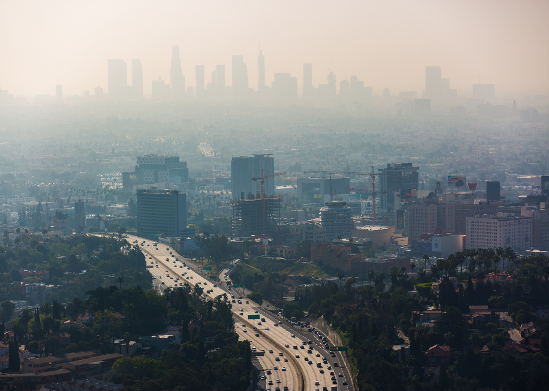
#27. Los Angeles-Long Beach-Anaheim, California
- Average coarse particulate matter (PM10): 33 μg/m^3
- PM10 2nd Max 24-hr: 113 μg/m^3 (24.7% below EPA standards)
- Average fine particulate matter (PM2.5): 13.8 μg/m^3 (15.0% above EPA standards)
The majority of air pollution in L.A. comes from vehicle emissions—especially from large trucks; the trucking industry is prominent in L.A. The Harbor Commissioners of L.A. voted to approve the Clean Air Action Plan in 2017 to help transition diesel trucks to run on electric power.
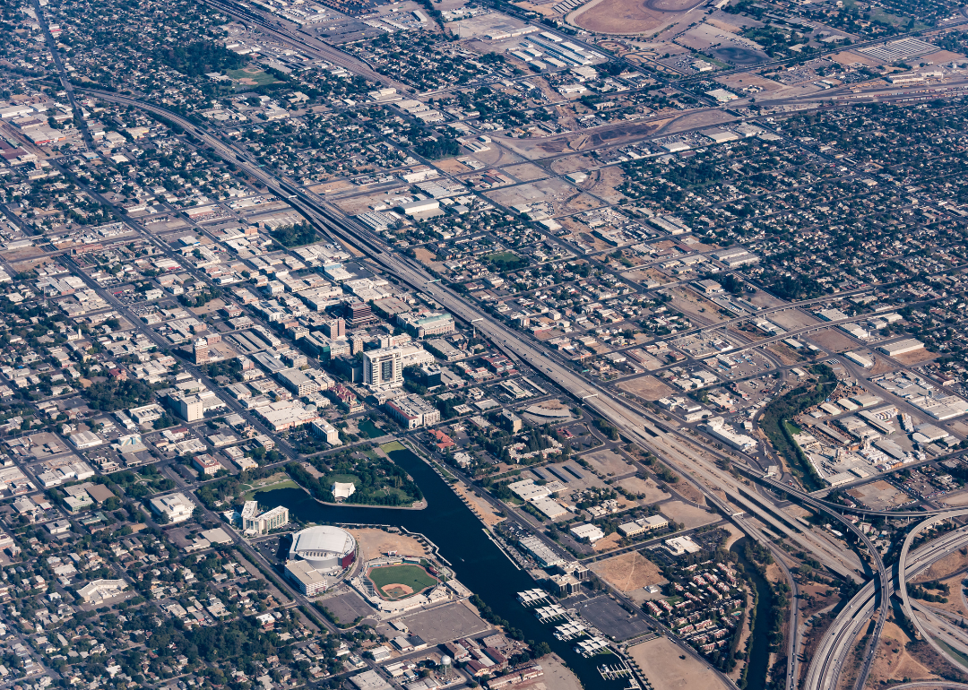
#26. Stockton-Lodi, California
- Average coarse particulate matter (PM10): 33 μg/m^3
- PM10 2nd Max 24-hr: 162 μg/m^3 (8.0% above EPA standards)
- Average fine particulate matter (PM2.5): 11.7 μg/m^3 (2.5% below EPA standards)
Wildfire smoke is a primary polluter of the region's air, followed by ambient sources including passenger vehicle and freight emissions.
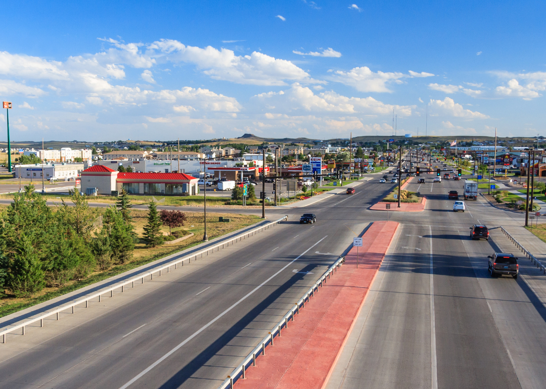
#25. Gillette, Wyoming
- Average coarse particulate matter (PM10): 34 μg/m^3
- PM10 2nd Max 24-hr: 154 μg/m^3 (2.7% above EPA standards)
- Average fine particulate matter (PM2.5): Not available
Air pollution from oil and gas production, particularly nitrogen oxide, ozone, and fine particulates, impacts the health of many Americans, including Wyoming residents, according to a 2023 study. Wyoming is also impacted by wildfire smoke from regional fires.

#24. Kansas City, Missouri
- Average coarse particulate matter (PM10): 35 μg/m^3
- PM10 2nd Max 24-hr: 103 μg/m^3 (31.3% below EPA standards)
- Average fine particulate matter (PM2.5): 11.3 μg/m^3 (5.8% below EPA standards)
Kansas City is subject to the impacts of industrial air pollution, particularly soot from coal-fired power plants, diesel emissions, and wood-burning devices. The impacts of these emissions worsen in the winter as the demand for heating increases.
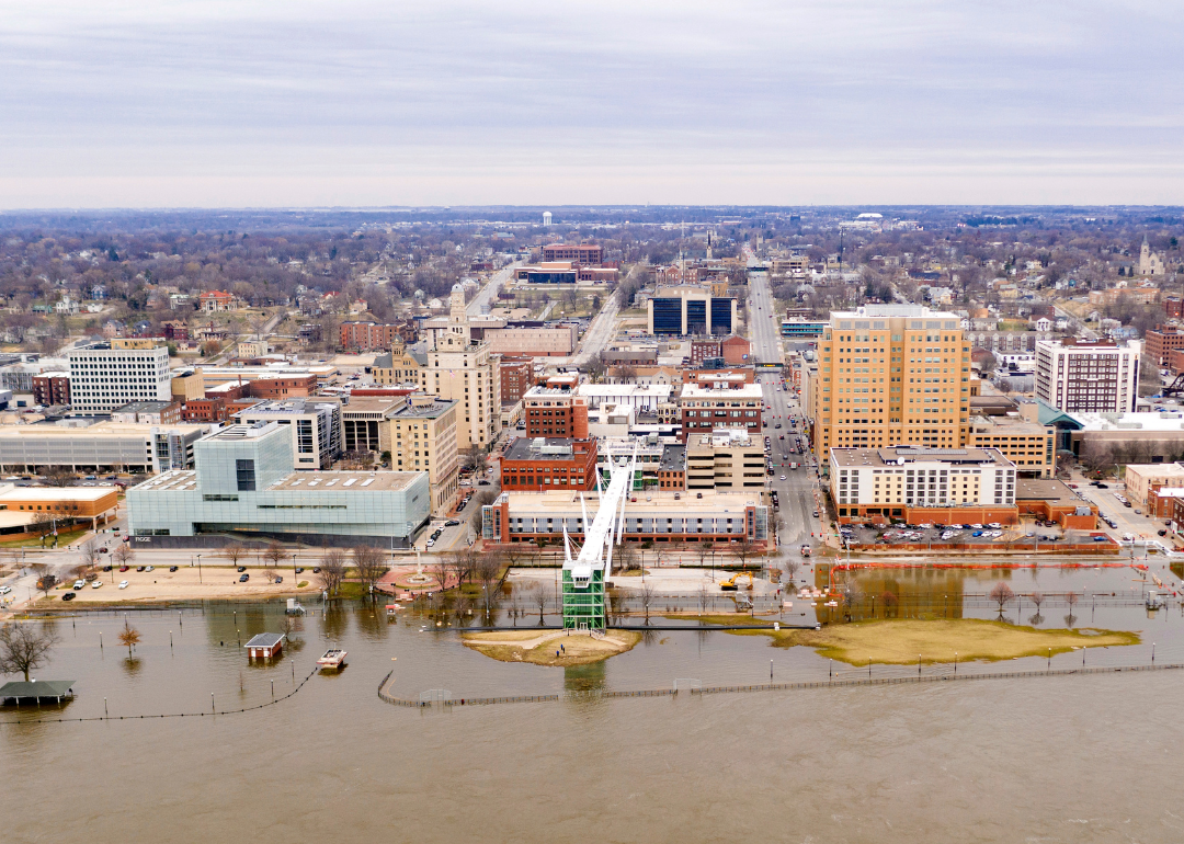
#23. Davenport-Moline-Rock Island, Iowa
- Average coarse particulate matter (PM10): 35 μg/m^3
- PM10 2nd Max 24-hr: 137 μg/m^3 (8.7% below EPA standards)
- Average fine particulate matter (PM2.5): 9.8 μg/m^3 (18.3% below EPA standards)
Much of the Davenport region's air pollution is caused by industrial sources or transportation. Sulfur dioxide from coal-fired power plants and nitrous oxide from ambient vehicular emissions are the most common pollutants.
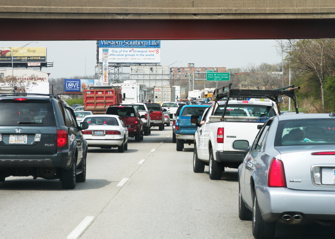
#22. Cincinnati, Ohio
- Average coarse particulate matter (PM10): 35 μg/m^3
- PM10 2nd Max 24-hr: 178 μg/m^3 (18.7% above EPA standards)
- Average fine particulate matter (PM2.5): 11.4 μg/m^3 (5.0% below EPA standards)
Smog is a pervasive problem in Cincinnati, worsened by vehicular emissions. Pollutants from coal-fired power plants, as well as diesel emissions from freight transportation, are also prevalent.
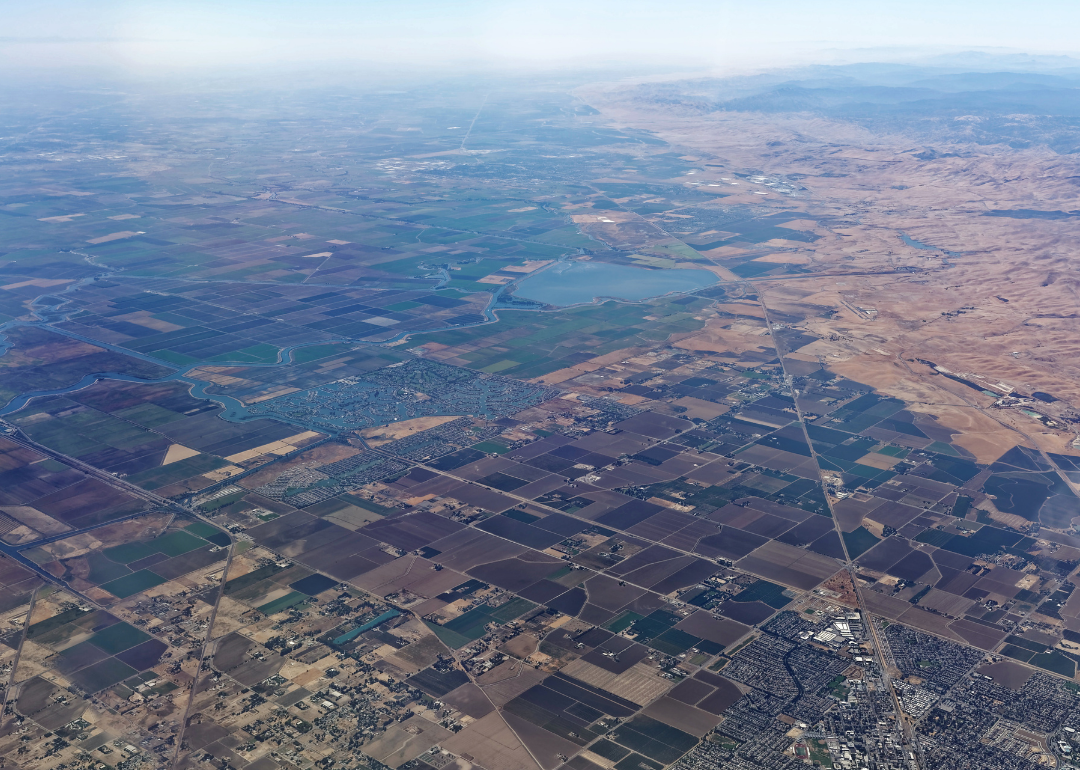
#21. Modesto, California
- Average coarse particulate matter (PM10): 36 μg/m^3
- PM10 2nd Max 24-hr: 129 μg/m^3 (14.0% below EPA standards)
- Average fine particulate matter (PM2.5): 15 μg/m^3 (25.0% above EPA standards)
The large agricultural sector in Modesto contributes to emissions released that affect the atmosphere. Modesto is located in the San Joaquin Valley, which as a whole experiences poor air quality.

#20. Las Vegas-Henderson-Paradise, Nevada
- Average coarse particulate matter (PM10): 36 μg/m^3
- PM10 2nd Max 24-hr: 152 μg/m^3 (1.3% above EPA standards)
- Average fine particulate matter (PM2.5): 9.9 μg/m^3 (17.5% below EPA standards)
Transportation, construction, and industrial facilities are the primary sources of harmful emissions and ozone in Las Vegas. Long-term drought conditions and intensified wildfires also contribute to the region's poor air quality.
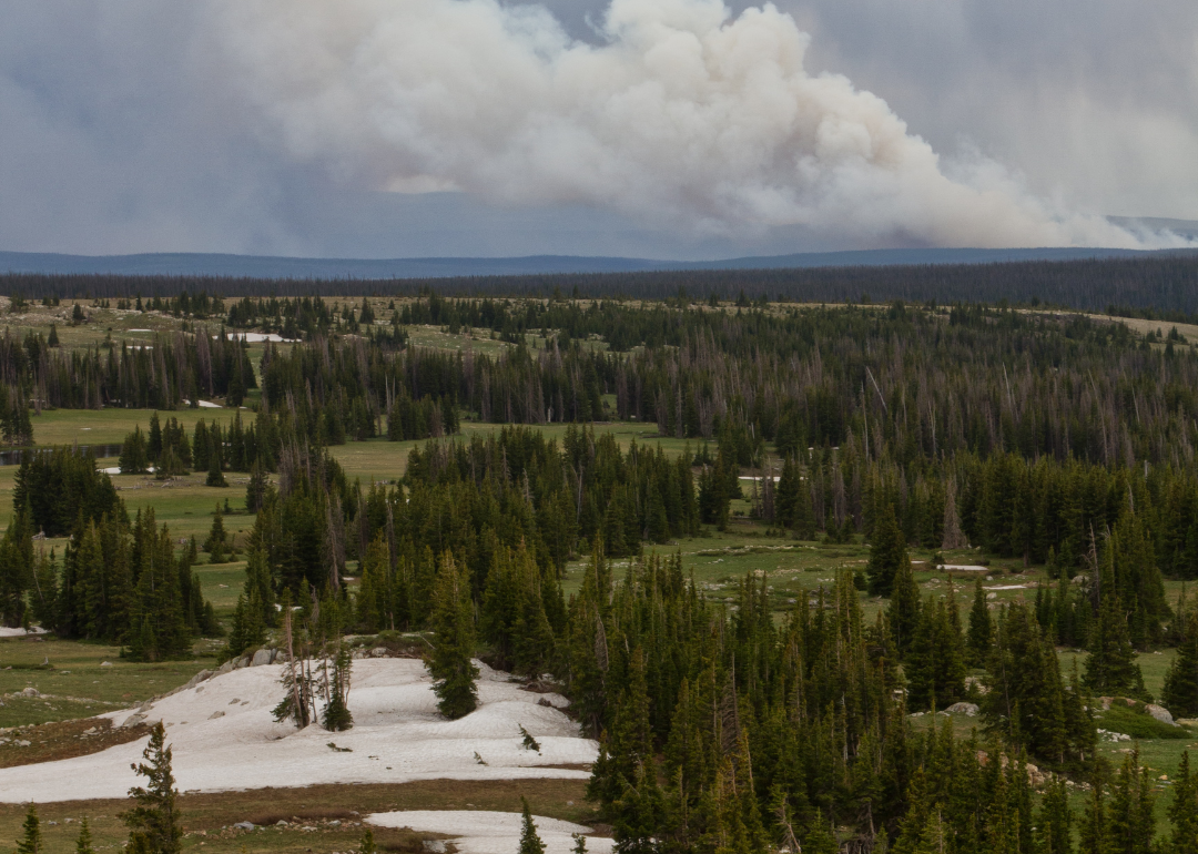
#19. Laramie, Wyoming
- Average coarse particulate matter (PM10): 37 μg/m^3
- PM10 2nd Max 24-hr: 230 μg/m^3 (53.3% above EPA standards)
- Average fine particulate matter (PM2.5): Not available
Wildfire smoke from fires in neighboring states like Idaho is a main driver of poor air quality in Laramie. In 2022, wildfires as far south as Arizona impacted air quality in parts of southern Wyoming.

#18. Denver-Aurora-Lakewood, Colorado
- Average coarse particulate matter (PM10): 39 μg/m^3
- PM10 2nd Max 24-hr: 93 μg/m^3 (38.0% below EPA standards)
- Average fine particulate matter (PM2.5): 10.1 μg/m^3 (15.8% below EPA standards)
The Denver region is prone to several different types of air pollution including vehicle emissions, wildfire smoke, and industrial emissions. The topography of the region worsens the impacts of these pollutants as they settle in the lower atmosphere.
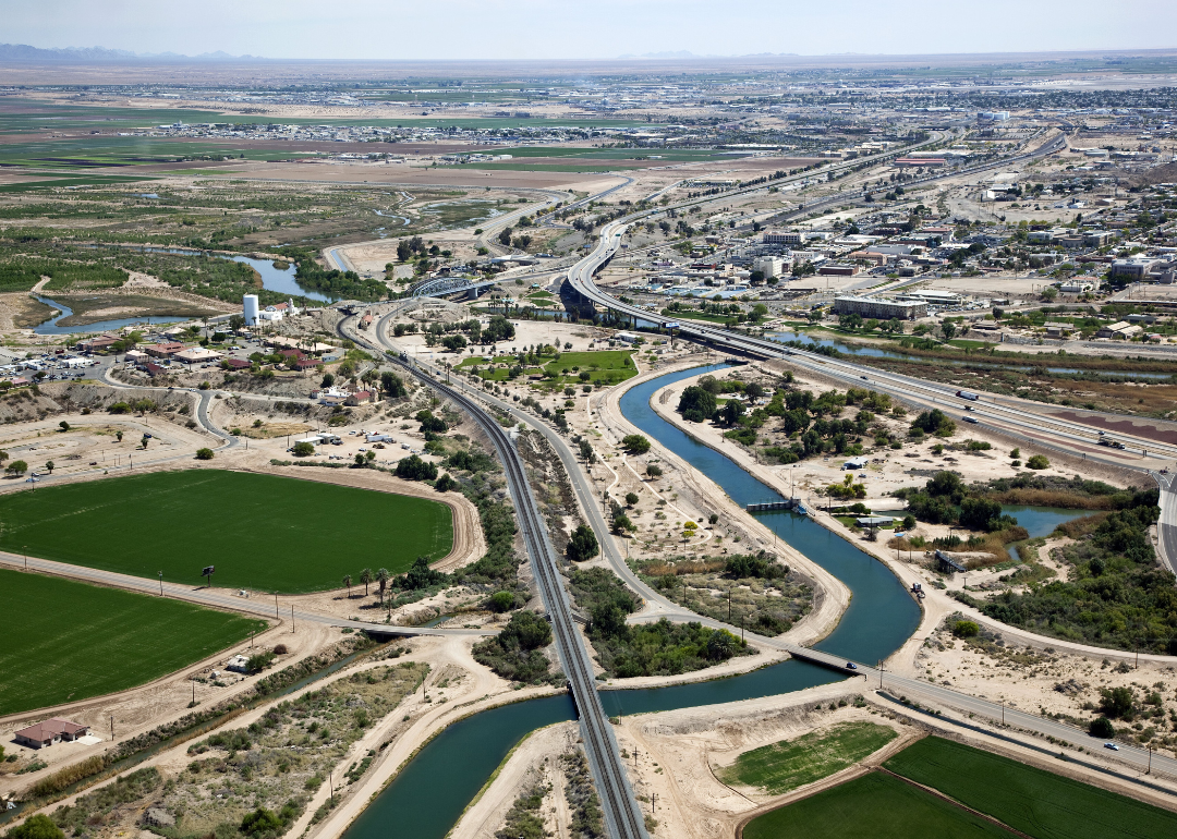
#17. Yuma, Arizona
- Average coarse particulate matter (PM10): 40 μg/m^3
- PM10 2nd Max 24-hr: 199 μg/m^3 (32.7% above EPA standards)
- Average fine particulate matter (PM2.5): 9.3 μg/m^3 (22.5% below EPA standards)
Wildfire smoke has the most significant impact on Yuma's air quality. The University of Arizona also identifies vehicle emissions from Interstate 8, pollutants emitted from surrounding agricultural fields, and particulate matter stirred up at the Yuma Proving Ground also impact air quality.

#16. Chicago-Naperville-Elgin, Illinois
- Average coarse particulate matter (PM10): 41 μg/m^3
- PM10 2nd Max 24-hr: 166 μg/m^3 (10.7% above EPA standards)
- Average fine particulate matter (PM2.5): 10.8 μg/m^3 (10.0% below EPA standards)
Vehicle emissions are a primary contributor to poor air quality in the Chicago area. In addition to transportation-related emissions, communities bisected by major highways are also home to many industries and as such, are overburdened by air pollution.
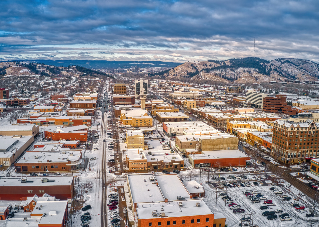
#15. Rapid City, South Dakota
- Average coarse particulate matter (PM10): 41 μg/m^3
- PM10 2nd Max 24-hr: 168 μg/m^3 (12.0% above EPA standards)
- Average fine particulate matter (PM2.5): 8.1 μg/m^3 (32.5% below EPA standards)
Located on the high plains, Rapid City is subject to droughts and high winds, making it susceptible to a phenomenon called fugitive dust. Fugitive dust is generated by mining and construction activity, gravel roads, and wind erosion.

#14. San Diego-Carlsbad, California
- Average coarse particulate matter (PM10): 42 μg/m^3
- PM10 2nd Max 24-hr: 119 μg/m^3 (20.7% below EPA standards)
- Average fine particulate matter (PM2.5): 9.7 μg/m^3 (19.2% below EPA standards)
In recent years, San Diego has seen a significant rise in dangerous ozone pollution, caused mostly by passenger vehicle emissions. As recently as 2021, San Diego allowed industries to expel cancer-causing air pollutants at a rate much higher than most of California.
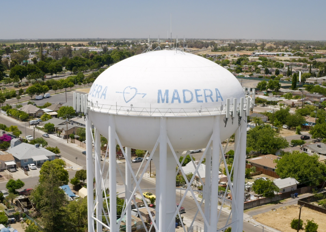
#13. Madera, California
- Average coarse particulate matter (PM10): 42 μg/m^3
- PM10 2nd Max 24-hr: 198 μg/m^3 (32.0% above EPA standards)
- Average fine particulate matter (PM2.5): 12.4 μg/m^3 (3.3% above EPA standards)
Like neighboring Fresno, Madera's air pollution is largely caused by farming emissions and transportation emissions.
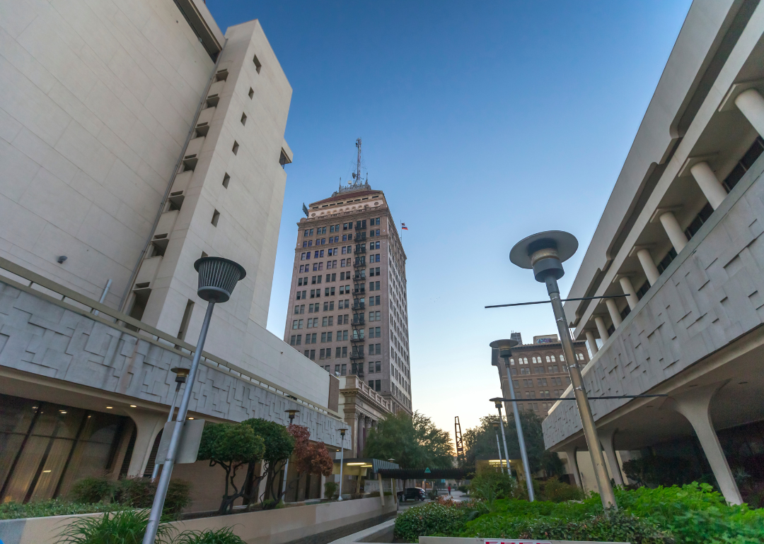
#12. Fresno, California
- Average coarse particulate matter (PM10): 43 μg/m^3
- PM10 2nd Max 24-hr: 147 μg/m^3 (2.0% below EPA standards)
- Average fine particulate matter (PM2.5): 17.2 μg/m^3 (43.3% above EPA standards)
Fresno's air pollution is characterized by high concentrations of nitrogen dioxide from passenger vehicles, freight, and gas-powered farming equipment emissions.

#11. Nogales, Arizona
- Average coarse particulate matter (PM10): 45 μg/m^3
- PM10 2nd Max 24-hr: 149 μg/m^3 (.7% below EPA standards)
- Average fine particulate matter (PM2.5): 10.9 μg/m^3 (9.2% below EPA standards)
Nearly all of the air pollution in Nogales, located on the Southern U.S. border, comes from Mexico, according to the Arizona Department of Environmental Quality. Nogales is situated downhill from Mexico, and as a result, this cross-border air pollution settles in the lowest topographical points.
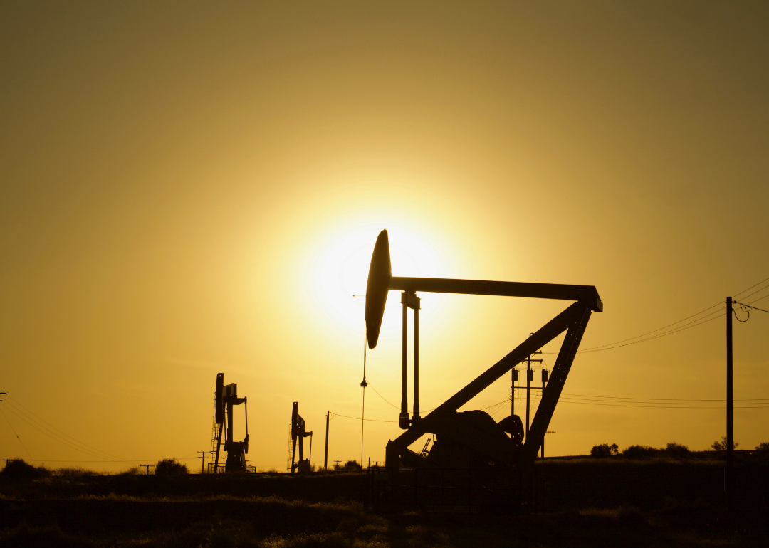
#10. Bakersfield, California
- Average coarse particulate matter (PM10): 49 μg/m^3
- PM10 2nd Max 24-hr: 242 μg/m^3 (61.3% above EPA standards)
- Average fine particulate matter (PM2.5): 20 μg/m^3 (66.7% above EPA standards)
The geography and topography of the San Joaquin Valley make Bakersfield especially susceptible to smog formation and particulate buildups during certain weather systems.
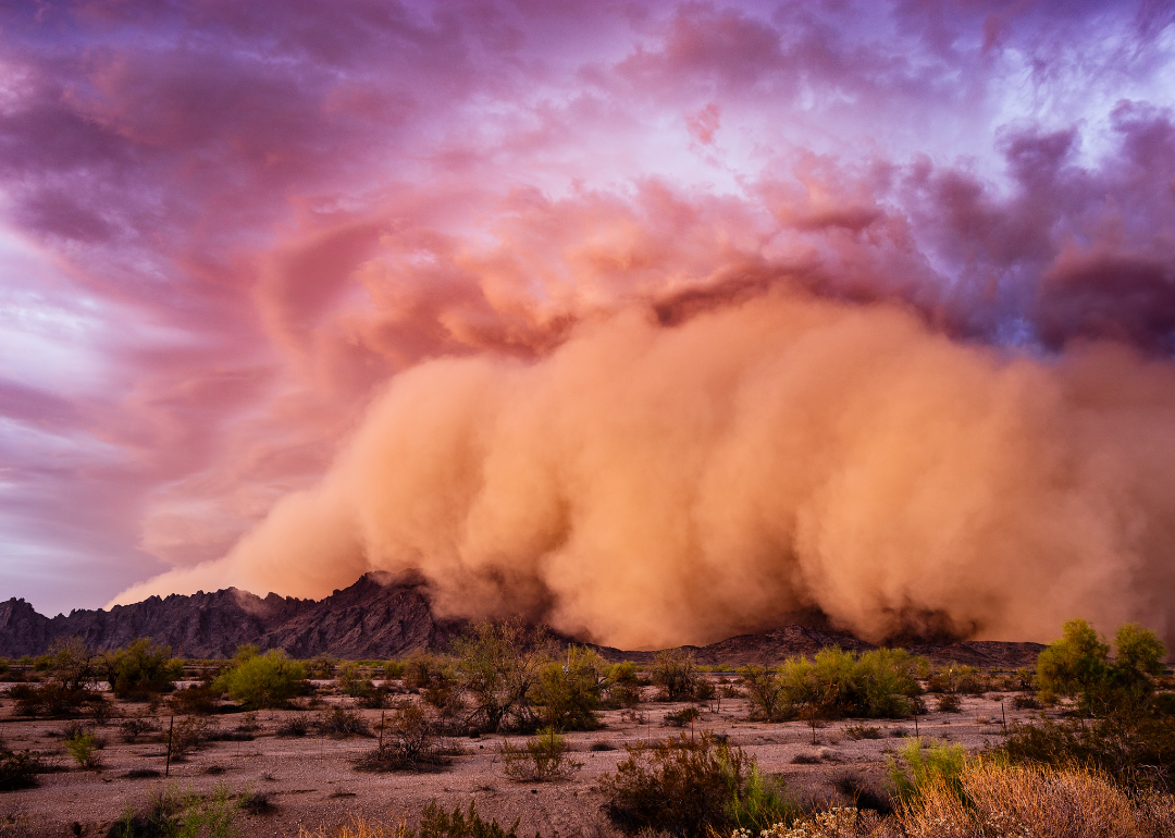
#9. Las Cruces, New Mexico
- Average coarse particulate matter (PM10): 49 μg/m^3
- PM10 2nd Max 24-hr: 439 μg/m^3 (192.7% above EPA standards)
- Average fine particulate matter (PM2.5): 10.4 μg/m^3 (13.3% below EPA standards)
Much of the air pollution in this region is not from vehicle emissions or manufacturing, but rather from the many dust storms that pass through the region.
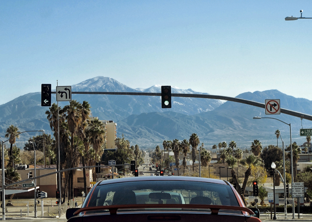
#8. Riverside-San Bernardino-Ontario, California
- Average coarse particulate matter (PM10): 50 μg/m^3
- PM10 2nd Max 24-hr: 227 μg/m^3 (51.3% above EPA standards)
- Average fine particulate matter (PM2.5): 17.8 μg/m^3 (48.3% above EPA standards)
Known as the Inland Empire, the Riverside-San Bernardino-Ontario region is home to heavy pollution emitters, including freeways, railways, and industrial complexes. Black and Latino communities are disproportionately impacted by air pollution in the Inland Empire, according to the People's Collective for Environmental Justice.
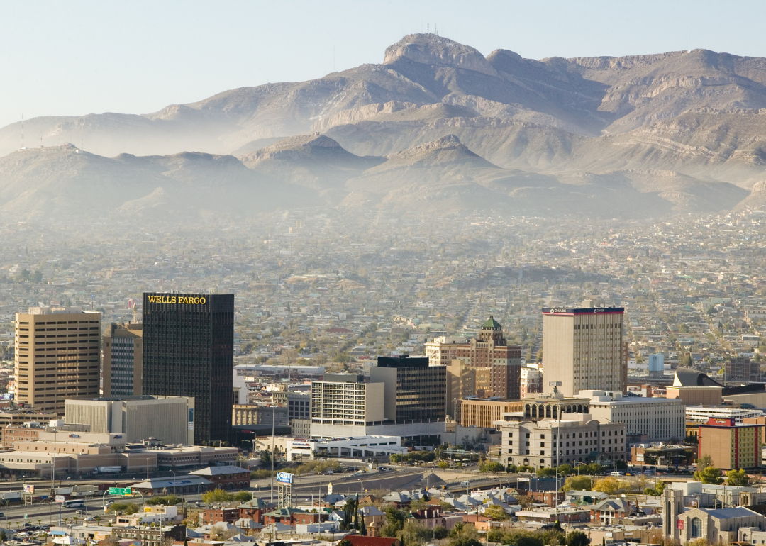
#7. El Paso, Texas
- Average coarse particulate matter (PM10): 52 μg/m^3
- PM10 2nd Max 24-hr: 153 μg/m^3 (2.0% above EPA standards)
- Average fine particulate matter (PM2.5): 9.2 μg/m^3 (23.3% below EPA standards)
A binational air-quality committee in 2021 created a fund to help monitor air quality in El Paso, Texas, and Juarez, Mexico. The fund would funnel $100,000 into supporting three air-quality monitors and system improvements.
#6. Visalia-Porterville, California
- Average coarse particulate matter (PM10): 52 μg/m^3
- PM10 2nd Max 24-hr: 198 μg/m^3 (32.0% above EPA standards)
- Average fine particulate matter (PM2.5): 20.7 μg/m^3 (72.5% above EPA standards)
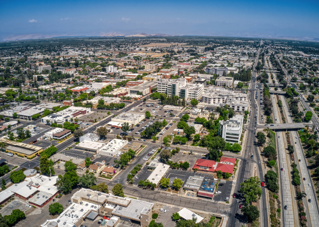
According to the American Lung Association, population growth and topography are two of the biggest contributors to poor air quality in Visalia-Porterville. With more residents come more smog-producing vehicles, and heavy pollution naturally settles in valleys and basins like the one where Visalia-Porterville is located.
#5. Albuquerque, New Mexico
- Average coarse particulate matter (PM10): 52 μg/m^3
- PM10 2nd Max 24-hr: 221 μg/m^3 (47.3% above EPA standards)
- Average fine particulate matter (PM2.5): 11.3 μg/m^3 (5.8% below EPA standards)
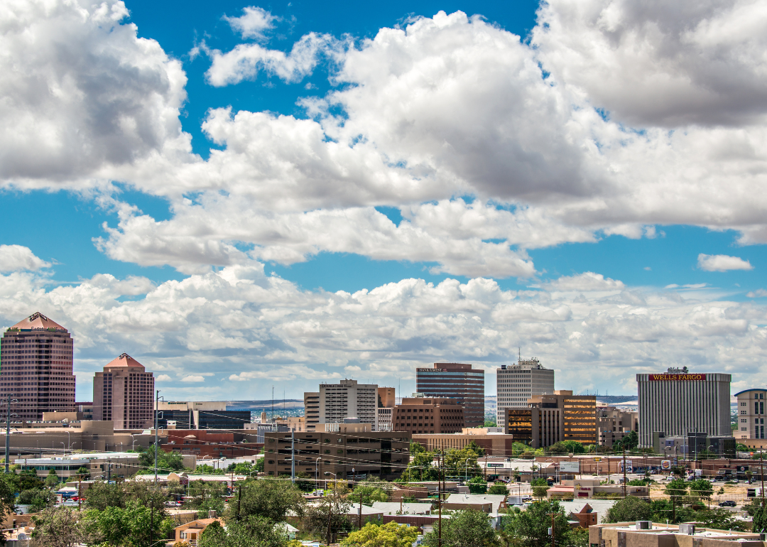
The American Lung Association notes that transportation emissions are a major contributor to high levels of ozone in Albuquerque. In July 2022, New Mexico enacted the Clean Car Rule, which is expected to eliminate 130,000 tons of greenhouse gas emissions and more than 1,700 tons of ozone-forming pollutants by 2050.
#4. El Centro, California
- Average coarse particulate matter (PM10): 52 μg/m^3
- PM10 2nd Max 24-hr: 234 μg/m^3 (56.0% above EPA standards)
- Average fine particulate matter (PM2.5): 10.3 μg/m^3 (14.2% below EPA standards)
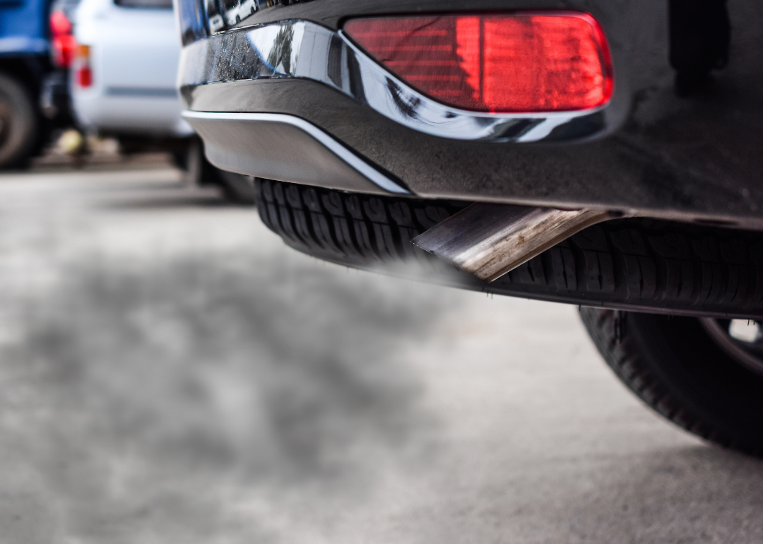
The hot, arid climate in El Centro contributes greatly to its air pollution. El Centro shares a border with Mexico, which has much looser clean air regulations than its neighbor to the north. El Centro has put in efforts with the Mexican government to prevent vehicles that do not meet U.S. emission standards from crossing the border.

#3. Tucson, Arizona
- Average coarse particulate matter (PM10): 52 μg/m^3
- PM10 2nd Max 24-hr: 249 μg/m^3 (66.0% above EPA standards)
- Average fine particulate matter (PM2.5): 6.6 μg/m^3 (45.0% below EPA standards)
As Tuscon's industry and population grew industrialized and the population increased, emissions from power plants and tailpipes rose. In recent years the city has experienced an unprecedented severity of ground-level ozone.
#2. Hanford-Corcoran, California
- Average coarse particulate matter (PM10): 55 μg/m^3
- PM10 2nd Max 24-hr: 180 μg/m^3 (20.0% above EPA standards)
- Average fine particulate matter (PM2.5): 15.6 μg/m^3 (30.0% above EPA standards)
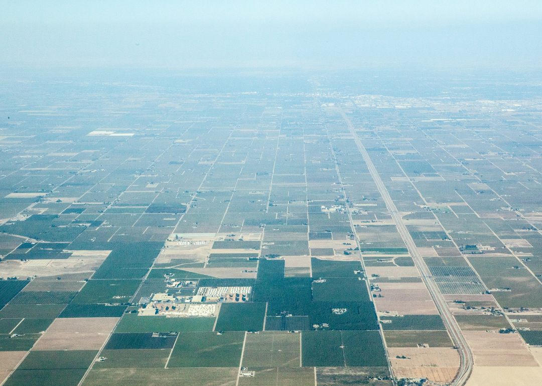
The geography of the Valley in which Hanford resides contributes largely to its air pollution. The hot summers coupled with stagnant air and mountainous terrain make this part of California susceptible to high-smog levels.
#1. Phoenix-Mesa-Scottsdale, Arizona
- Average coarse particulate matter (PM10): 76 μg/m^3
- PM10 2nd Max 24-hr: 225 μg/m^3 (50.0% above EPA standards)
- Average fine particulate matter (PM2.5): 13.2 μg/m^3 (10.0% above EPA standards)
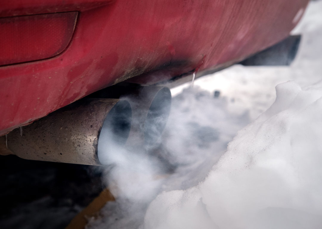
Huge contributors to the poor air in Phoenix include emissions from cars and chemical solvent waste from small industrial businesses. A 2018 report by the Environment Arizona Research & Policy Center found that in 2016, the Phoenix-Mesa-Scottsdale area had 110 days of "degraded" air quality.
Data reporting by Emma Rubin. Story editing by Robert Wickwire. Copy editing by Robert Wickwire. Photo selection by Abigail Renaud.


