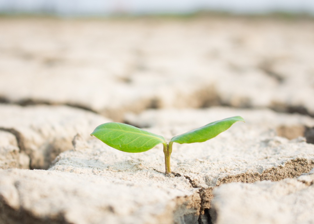
See how much of Mississippi is experiencing drought conditions
See how much of Mississippi is experiencing drought conditions
Nearly one-third of Americans experienced a weather disaster this summer, giving them first-hand experience into a future of extreme hurricanes, wildfires, storms, and floods caused by global climate change. Data from the National Oceanic and Atmospheric Administration (NOAA) and NASA both show rapid warming in the 21st century, with the past decade being the hottest on record. According to The Washington Post, the cost of responding to these weather disasters is more than $81 billion per year.
Among those disasters were several significant, costly, and deadly droughts. Droughts are among the most destructive forces in nature—only hurricanes are more economically damaging to the United States. Destroyed crops ripple through the economy, with animal feed prices increasing, which can indirectly raise the price of meats and animal products like milk and cheese. The annual losses due to drought are near $9 billion per year. Droughts also contribute to wildfires, increasing the likelihood of ignition and making them more extreme when they do happen.
Stacker ranked each state and Washington D.C., based on the average percentage of the state land that experienced drought conditions in the 20-year period from 2000 to March 2021, using data from the U.S. Drought Monitor (USDM). The USDM categories drought conditions using a five point scale ranging from "abnormally dry," indicating some short-term crop dryness or a lingering water deficit, to "exceptional drought," a serious condition involving a water emergency that leads to widespread crop/pasture losses.
Mississippi by the numbers
- Share of state experiencing drought conditions (20-year average): 14,757 sq. mi. (30.9% of land area); 923,267 people (31.1% of population)
--- Moderate drought: 7,132 sq. mi. (14.9% of land area); 450,544 people (15.2% of population)
--- Severe drought: 3,110 sq. mi. (6.5% of land area); 199,044 people (6.7% of population)
--- Extreme drought: 1,093 sq. mi. (2.3% of land area); 74,908 people (2.5% of population)
--- Exceptional drought: 151 sq. mi. (0.3% of land area); 11,964 people (0.4% of population)
After a respite from widespread dryness, parts of Mississippi are experiencing conditions ranging from abnormal dryness to moderate drought. Other significant droughts have gripped the state in the past two decades. In 2016, the bulk of the eastern and central portion of the state were hit with an extreme drought. Burn bans were called throughout the state, power lines were strained, crop production suffered, and construction projects were halted.
The entire national list, including descriptions of the conditions that led to or prevented drought in each state and the events leading up to the state's change in drought status, can be found here. Continue reading to learn which states experience the worst droughts.
Most drought-ridden states
#1. Arizona
- Share of state experiencing drought conditions (20-year average): 87,702 sq. mi. (76.9% of land area); 4,867,057 people (76.1% of population)
#2. Nevada
- Share of state experiencing drought conditions (20-year average): 78,717 sq. mi. (71.2% of land area); 1,942,485 people (71.9% of population)
#3. New Mexico
- Share of state experiencing drought conditions (20-year average): 84,806 sq. mi. (69.8% of land area); 1,455,107 people (70.7% of population)
Least drought-ridden states
#1. Ohio
- Share of state experiencing drought conditions (20-year average): 6,631 sq. mi. (16.1% of land area); 1,815,050 people (15.7% of population)
#2. Alaska
- Share of state experiencing drought conditions (20-year average): 95,420 sq. mi. (16.4% of land area); 159,582 people (23.2% of population)
#3. New York
- Share of state experiencing drought conditions (20-year average): 8,721 sq. mi. (18.0% of land area); 4,174,482 people (21.5% of population)