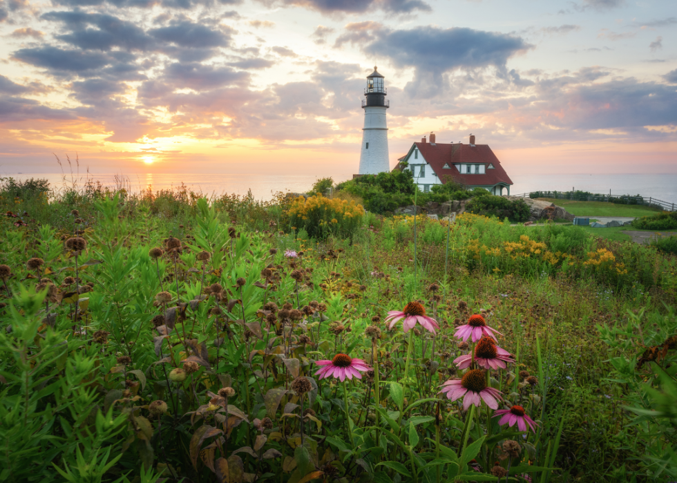
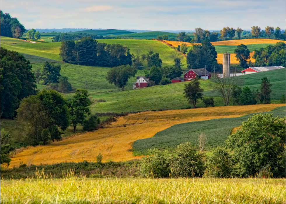
How each state uses its land
How each state uses its land
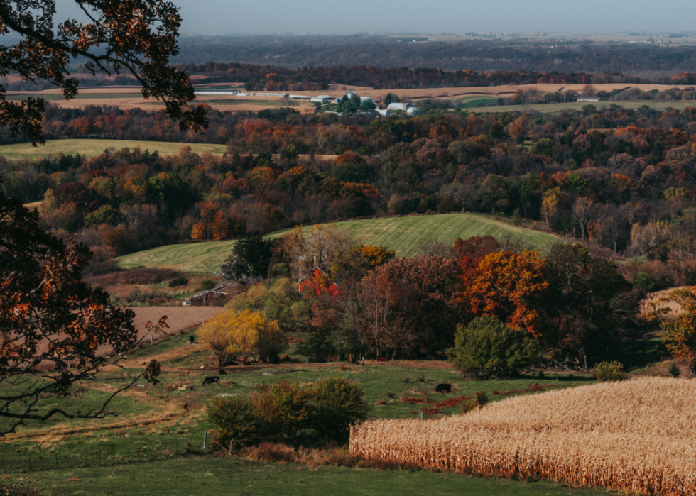
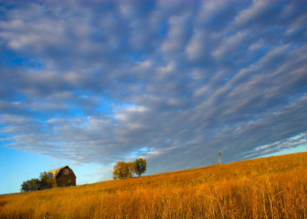
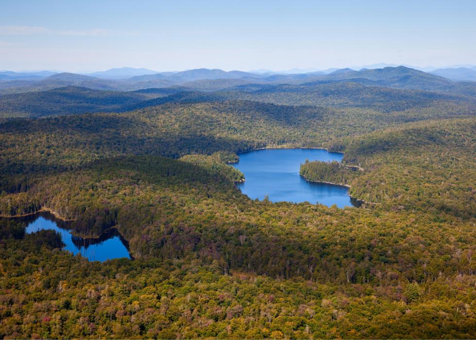
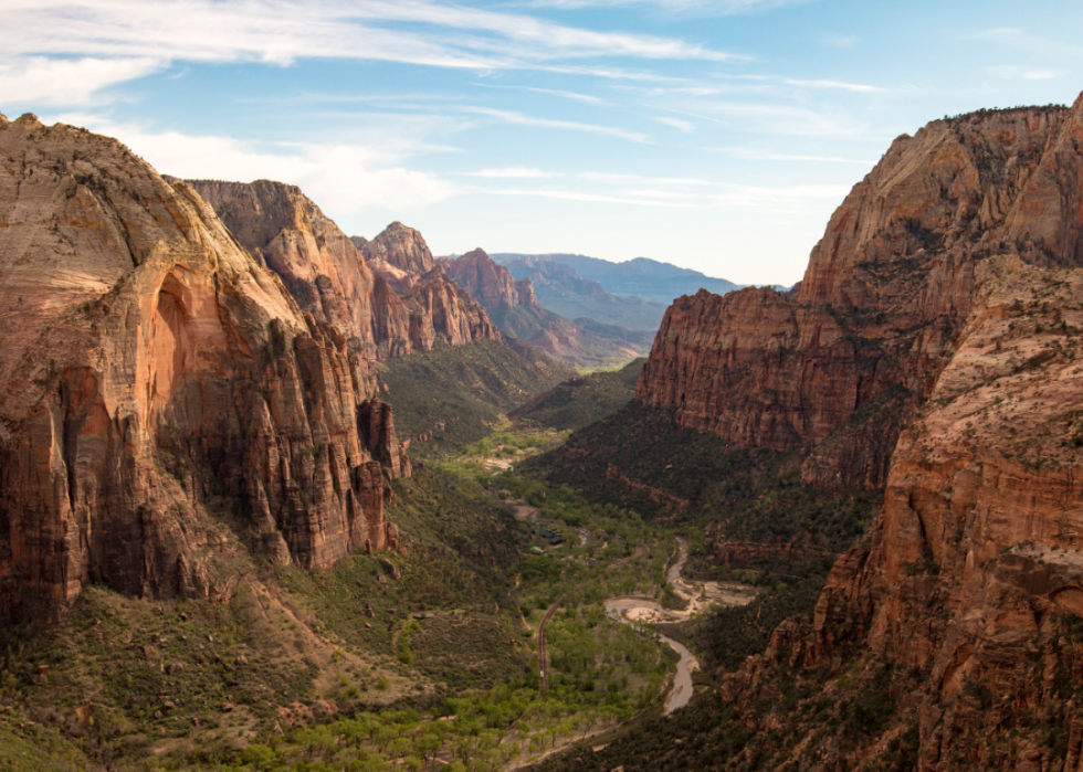
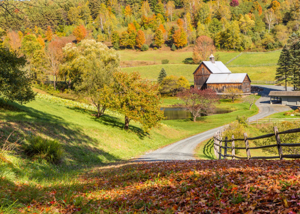
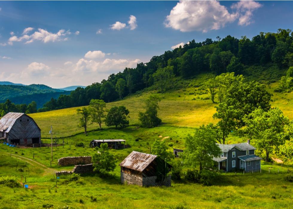
The United States is a giant country, with roughly 3.8 million square miles of land stretching between its coasts. That translates to a width of about 2,800 miles—not including Alaska and Hawaii. With all that acreage, there's a great deal of diversity: The country boasts snow-covered mountains, lush rainforests, low-lying savannas, and wide, rolling plains. The temperature and climate also vary wildly, as do the visual landscapes. But what does the United States do with all of that land, and how does it allocate its resources?
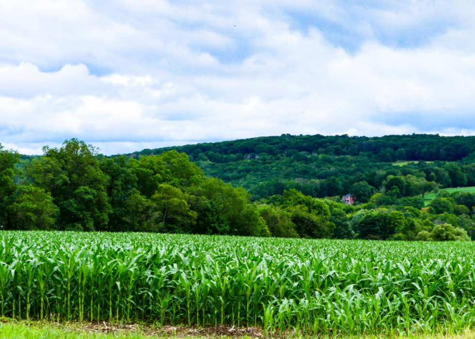
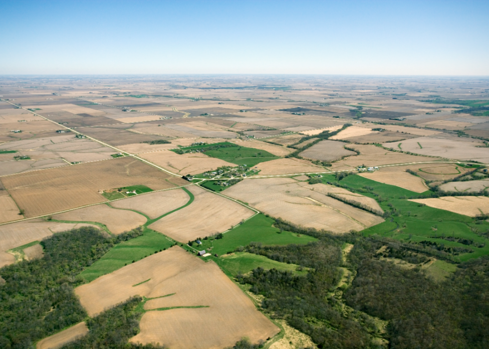
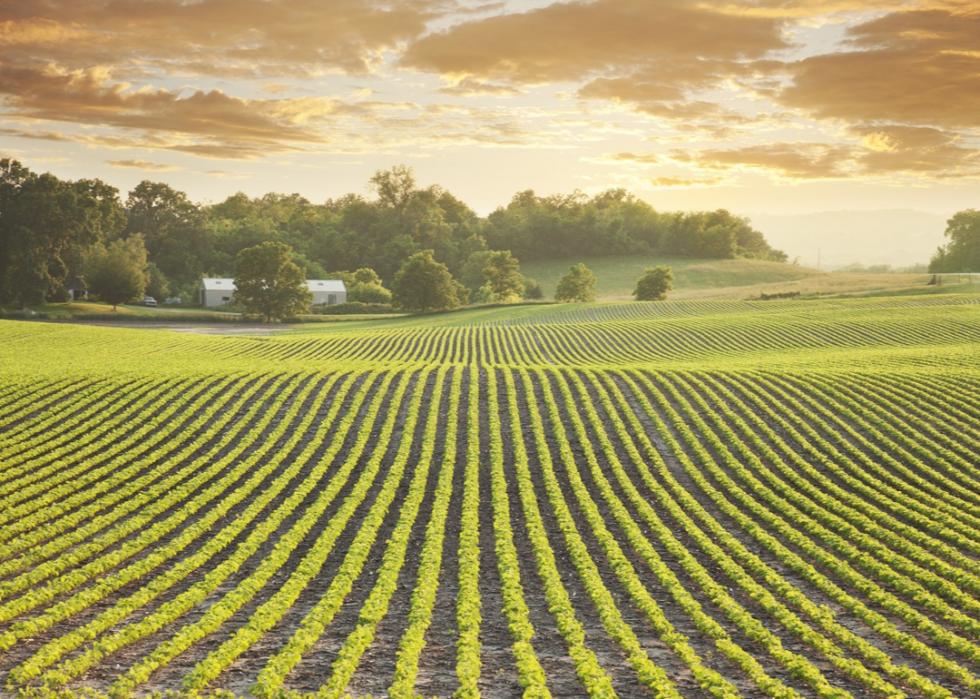
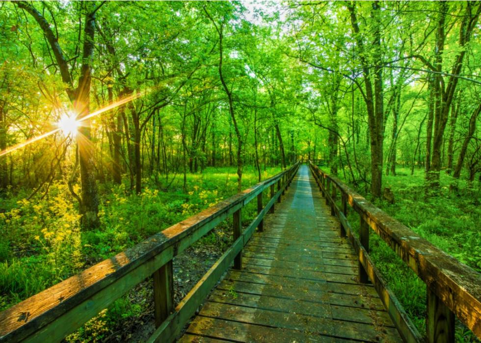
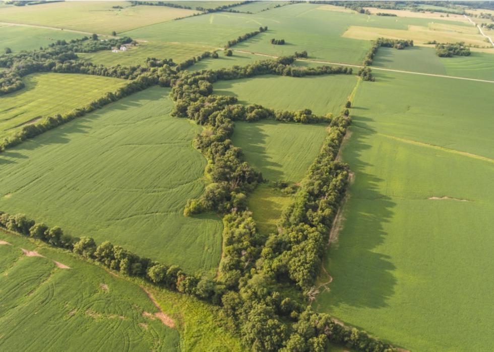
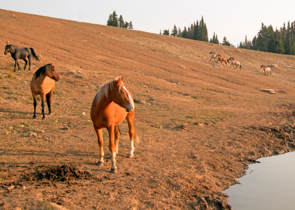
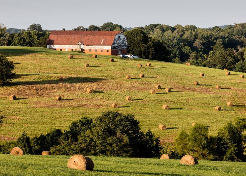
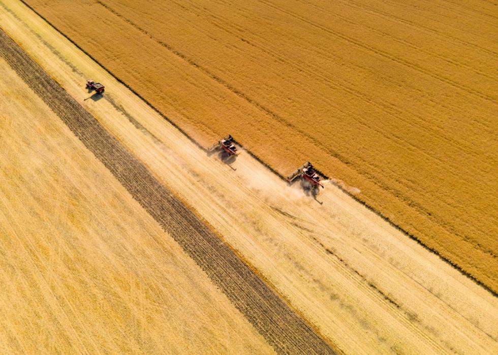
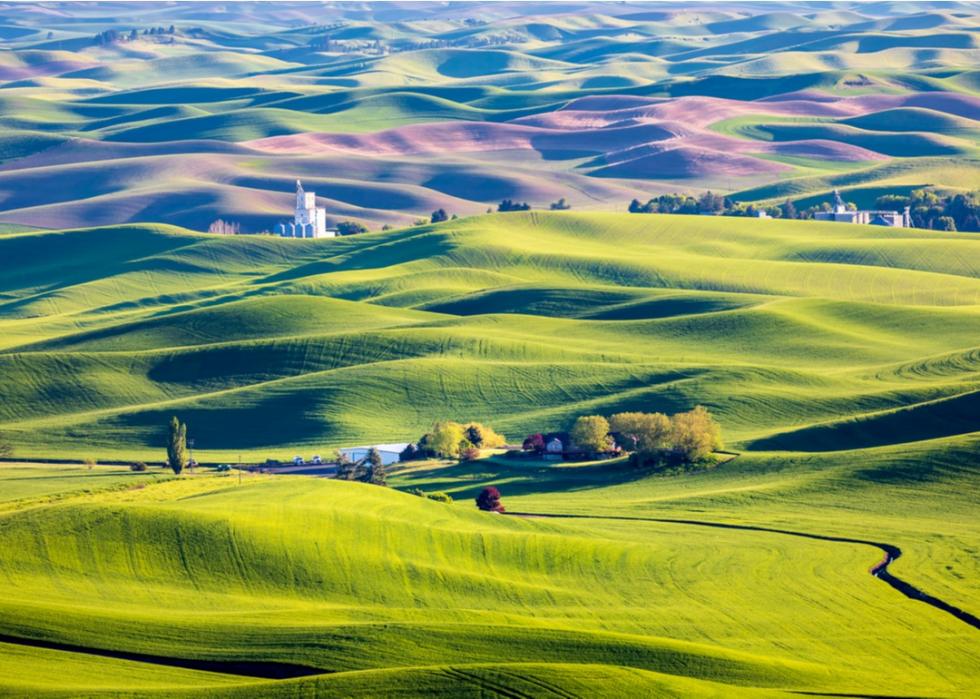
The U.S. can be divided into six main categories of land use. From largest to smallest, these include grasslands, forest-use land, croplands, special-use areas, miscellaneous land, and urban areas. Grassland and forestland each comprise about one-third of the country's acreage. The former is found everywhere, but particularly east of the Rocky Mountains, from the badlands of North Dakota to northern Texas, and in the West in the Great Basin areas of Oregon, California, and Idaho.
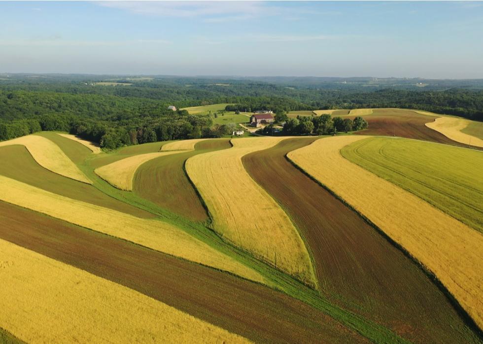
Forestland is also found everywhere, but most notably in the eastern part of the United States, where more than 80% of it is privately owned. Cropland is the third-biggest type of land, and more than 80% is in active agricultural use.
In this slideshow, Stacker has taken a closer look at each of the 50 states to determine what type of land each state is most known for, who owns it, and how it is managed. Statistics from the U.S. Department of Agriculture's (USDA) Major Land Uses reports have been gathered to create each state's summary. The data are from the most recent 2012 release, and each slide details the breakdown of data ranked from the highest to lowest percentage of land use.
Check out how your state uses its land.
You might also like: Most valuable agricultural products from every state
Alabama
#1. Forest-use land: 22,800,000 acres (70.3% of all land)
#2. Grassland pasture and range: 2,892,000 acres (8.9% of all land)
#3. Cropland: 2,806,000 acres (8.7% of all land)
-- Cropland used for crops: 2,231,000 acres (79.5% of cropland)
-- Idle cropland: 415,000 acres (14.8%)
-- Cropland pasture: 161,000 acres (5.7%)
#4. Special-use areas: 1,472,000 acres (4.5% of all land)
-- Rural transportation: 629,000 acres (42.7% of special-use land)
-- Parks and wildlife: 548,000 acres (37.2%)
-- Defense and industrial: 158,000 acres (10.7%)
-- Farmsteads and farm roads: 137,000 acres (9.3%)
#5. Urban areas: 1,467,000 acres (4.5% of all land)
#6. Miscellaneous other land: 975,000 acres (3% of all land)
Alabama's forests generate more than $21 billion in timber production, and forest use is by far the biggest portion of land at 70.3%. More than 122,000 jobs originate from the forestry industry, and there are enough trees growing throughout the state to construct and furnish almost 3 million homes. Some of the main national forests include Bankhead, Talladega, and Tuskegee. The next biggest lands are grassland and cropland.
Alaska
#1. Special-use areas: 146,204,000 acres (40% of all land)
-- Rural transportation: 494,000 acres (0.3% of special-use land)
-- Parks and wildlife: 143,904,000 acres (98.4%)
-- Defense and industrial: 1,803,000 acres (1.2%)
-- Farmsteads and farm roads: 2,000 acres (0%)
#2. Miscellaneous other land: 126,248,000 acres (34.6% of all land)
#3. Forest-use land: 91,817,000 acres (25.1% of all land)
#4. Grassland pasture and range: 696,000 acres (0.2% of all land)
#5. Urban areas: 166,000 acres (0% of all land)
#6. Cropland: 79,000 acres (0% of all land)
-- Cropland used for crops: 31,000 acres (39.2% of cropland)
-- Idle cropland: 45,000 acres (57.0%)
-- Cropland pasture: 4,000 acres (5.1%)
Forty percent of Alaska's land is designated as “special-use,” which is meant to protect “scenic, historic, archeological, scientific, biological, recreational, or other special resource values,” according to the Alaska Department of Natural Resources. More than 98% of this land is devoted to parks and wildlife, including ski resorts, hiking trails, fjords, coastlines, and archaeological districts. Popular special-use areas include Hatcher Pass, Thompson Pass, Marmot Island, Resurrection Bay, Caribou Hills, and the Togiak National Wildlife Refuge. Apart from special uses, Alaska also has a significant amount of regular forestland.
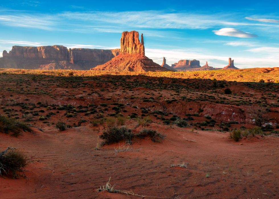
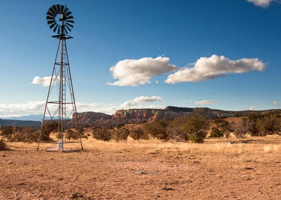
Arizona
#1. Grassland pasture and range: 43,580,000 acres (59.9% of all land)
#2. Forest-use land: 13,000,000 acres (17.9% of all land)
#3. Special-use areas: 11,919,000 acres (16.4% of all land)
-- Rural transportation: 535,000 acres (4.5% of special-use land)
-- Parks and wildlife: 7,704,000 acres (64.6%)
-- Defense and industrial: 3,593,000 acres (30.1%)
-- Farmsteads and farm roads: 87,000 acres (0.7%)
#4. Miscellaneous other land: 1,602,000 acres (2.2% of all land)
#5. Urban areas: 1,465,000 acres (2% of all land)
#6. Cropland: 1,134,000 acres (1.6% of all land)
-- Cropland used for crops: 908,000 acres (80.1% of cropland)
-- Idle cropland: 142,000 acres (12.5%)
-- Cropland pasture: 84,000 acres (7.4%)
While grasslands have historically been considered vital pieces of the state's ecology, offering millions of acres of wildlife habitat, much of this space is turning into shrubland. The Center for Science and Public Policy estimates that about 60% of the grasslands in the state have become either shrub-invaded (with potential for restoration) or fully transitioned to shrubland. There is also significant forest-use land and some special-use areas, too.
Arkansas
#1. Forest-use land: 18,544,000 acres (55.7% of all land)
#2. Cropland: 8,235,000 acres (24.7% of all land)
-- Cropland used for crops: 7,466,000 acres (90.7% of cropland)
-- Idle cropland: 585,000 acres (7.1%)
-- Cropland pasture: 184,000 acres (2.2%)
#3. Grassland pasture and range: 4,127,000 acres (12.4% of all land)
#4. Special-use areas: 1,514,000 acres (4.5% of all land)
-- Rural transportation: 513,000 acres (33.9% of special-use land)
-- Parks and wildlife: 741,000 acres (48.9%)
-- Defense and industrial: 85,000 acres (5.6%)
-- Farmsteads and farm roads: 175,000 acres (11.6%)
#5. Urban areas: 727,000 acres (2.2% of all land)
#6. Miscellaneous other land: 157,000 acres (0.5% of all land)
Arkansas is another state covered in forests. The state has about 19 million acres of forest land and 11.9 billion trees, the majority of which are oak and hickory species found in the Ouachita and Ozark-St. Francis national forests. Apart from forests, about 25% of the state is covered in agricultural zones. Most Arkansas farmland is owned by absentee landowners, family members, or investors.
California
#1. Grassland pasture and range: 26,667,000 acres (26.7% of all land)
#2. Special-use areas: 24,896,000 acres (25% of all land)
-- Rural transportation: 1,062,000 acres (4.3% of special-use land)
-- Parks and wildlife: 19,623,000 acres (78.8%)
-- Defense and industrial: 3,935,000 acres (15.8%)
-- Farmsteads and farm roads: 275,000 acres (1.1%)
#3. Forest-use land: 16,991,000 acres (17% of all land)
#4. Miscellaneous other land: 16,269,000 acres (16.3% of all land)
#5. Cropland: 9,577,000 acres (9.6% of all land)
-- Cropland used for crops: 8,316,000 acres (86.8% of cropland)
-- Idle cropland: 780,000 acres (8.1%)
-- Cropland pasture: 481,000 acres (5%)
#6. Urban areas: 5,299,000 acres (5.3% of all land)
A huge portion of grasslands can be found in the Central Valley, where roughly 21,300 square miles of pasture and range stretch out in huge swaths. Grasslands support 40% of the state's total native plant species and hold more than 300 species of native grasses.
Colorado
#1. Grassland pasture and range: 31,734,000 acres (47.8% of all land)
#2. Forest-use land: 15,138,000 acres (22.8% of all land)
#3. Cropland: 10,668,000 acres (16.1% of all land)
-- Cropland used for crops: 8,013,000 acres (75.1% of cropland)
-- Idle cropland: 2,218,000 acres (20.8%)
-- Cropland pasture: 437,000 acres (4.1%)
#4. Special-use areas: 7,455,000 acres (11.2% of all land)
-- Rural transportation: 672,000 acres (9% of special-use land)
-- Parks and wildlife: 6,185,000 acres (83%)
-- Defense and industrial: 470,000 acres (6.3%)
-- Farmsteads and farm roads: 129,000 acres (1.7%)
#5. Urban areas: 1,012,000 acres (1.5% of all land)
#6. Miscellaneous other land: 323,000 acres (0.5% of all land)
Although Colorado is known for its towering, snow-capped mountains, in reality almost half the state is covered in grassland. A huge portion of this can be found in the northeastern part of the state in the Pawnee National Grassland, which is home to pronghorn, lark bunting, coyotes, foxes, snakes, and other prairie species that live on its 193,060 acres.
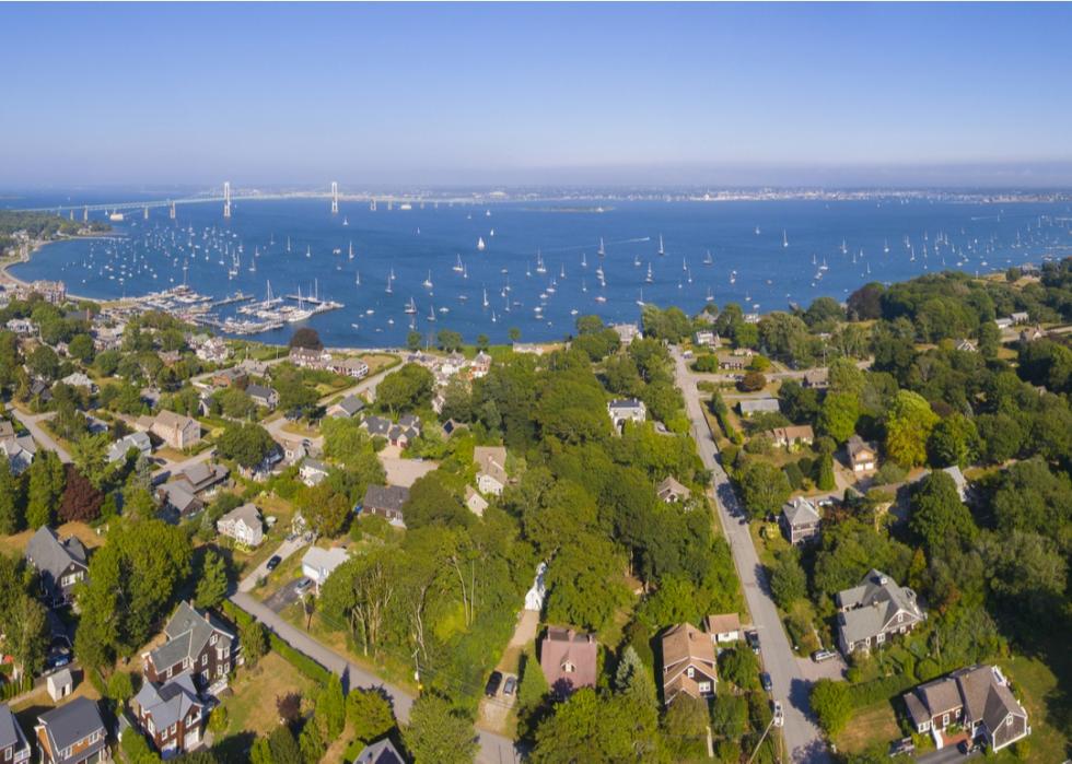
Connecticut
#1. Forest-use land: 1,346,000 acres (43.4% of all land)
#2. Urban areas: 1,178,000 acres (38% of all land)
#3. Special-use areas: 340,000 acres (11% of all land)
-- Rural transportation: 65,000 acres (19.1% of special-use land)
-- Parks and wildlife: 248,000 acres (72.9%)
-- Defense and industrial: 2,000 acres (0.6%)
-- Farmsteads and farm roads: 26,000 acres (7.6%)
#4. Cropland: 123,000 acres (4.0% of all land)
-- Cropland used for crops: 104,000 acres (84.6% of cropland)
-- Idle cropland: 9,000 acres (7.3%)
-- Cropland pasture: 9,000 acres (7.3%)
#5. Miscellaneous other land: 90,000 acres (2.9% of all land)
#6. Grassland pasture and range: 22,000 acres (0.7% of all land)
Much of the state's forests are home to brilliant orange and yellow fall foliage, for which Connecticut is famous. Species of wildlife living in its forests include bald eagles, bears, fish, and coyotes. Being such a small state, the rest of the non-forested land is mostly urban; cities make up 38% of the state, including Bridgeport, New Haven, Stamford, Hartford, and Waterbury.
Delaware
#1. Cropland: 438,000 acres (35.1% of all land)
-- Cropland used for crops: 420,000 acres (95.9% of cropland)
-- Idle cropland: 11,000 acres (2.5%)
-- Cropland pasture: 7,000 acres (1.6%)
#2. Forest-use land: 331,000 acres (26.5% of all land)
#3. Urban areas: 274,000 acres (22% of all land)
#4. Special-use areas: 143,000 acres (11.5% of all land)
-- Rural transportation: 20,000 acres (14% of special-use land)
-- Parks and wildlife: 111,000 acres (77.6%)
-- Defense and industrial: 4,000 acres (2.8%)
-- Farmsteads and farm roads: 7,000 acres (4.9%)
#5. Miscellaneous other land: 44,000 acres (3.5% of all land)
#6. Grassland pasture and range: 18,000 acres (1.4% of all land)
Delaware is a small state where more than one-third of the land is dedicated to crops. That number has been shrinking, however, and in recent years farmland conservation groups have been working to protect farms for future generations. A large purchase in June 2018 by Delaware's Agricultural Lands Preservation Program secured development rights for 3,534 acres of cropland on 41 farms, dedicating 127,000 acres for permanent preservation. The rest of Delaware is mostly forestland and cities, with a small percentage of special-use and grassland.
Florida
#1. Forest-use land: 15,827,000 acres (46.1% of all land)
#2. Special-use areas: 5,138,000 acres (15% of all land)
-- Rural transportation: 413,000 acres (8% of special-use land)
-- Parks and wildlife: 3,920,000 acres (76.3%)
-- Defense and industrial: 664,000 acres (12.9%)
-- Farmsteads and farm roads: 141,000 acres (2.7%)
#3. Grassland pasture and range: 5,100,000 acres (14.9% of all land)
#4. Urban areas: 4,901,000 acres (14.3% of all land)
#5. Cropland: 2,834,000 acres (8.3% of all land)
-- Cropland used for crops: 2,122,000 acres (74.9% of cropland)
-- Idle cropland: 452,000 acres (15.9%)
-- Cropland pasture: 260,000 acres (9.2%)
#6. Miscellaneous other land: 520,000 acres (1.5% of all land)
Although many people think of Florida's beaches, forests comprise nearly half the state's land, most of which is privately owned for things like timber production. The remainder of the forest-use land is government-owned with recreational areas, such as Apalachicola, Ocala, and Osceola national forests.
Georgia
#1. Forest-use land: 24,352,000 acres (66.2% of all land)
#2. Cropland: 4,385,000 acres (11.9% of all land)
-- Cropland used for crops: 3,799,000 acres (86.6% of cropland)
-- Idle cropland: 457,000 acres (10.4%)
-- Cropland pasture: 129,000 acres (2.9%)
#3. Urban areas: 3,207,000 acres (8.7% of all land)
#4. Special-use areas: 1,946,000 acres (5.3% of all land)
-- Rural transportation: 521,000 acres (26.8% of special-use land)
-- Parks and wildlife: 747,000 acres (38.4%)
-- Defense and industrial: 553,000 acres (28.4%)
-- Farmsteads and farm roads: 125,000 acres (6.4%)
#5. Grassland pasture and range: 1,680,000 acres (4.6% of all land)
#6. Miscellaneous other land: 1,238,000 acres (3.4% of all land)
Like Florida, the majority of Georgia's land is used for timber production; the state has more private timberland available for commercial use than any other state in the country. Private, non-industrial landowners run more than half of this land, while more than one-third is run by corporate and forest industry interests. Remaining forestlands are public.
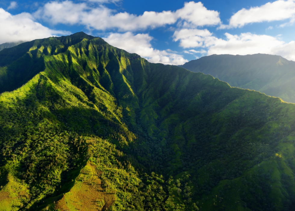
Hawaii
#1. Forest-use land: 1,299,000 acres (31.6% of all land)
#2. Special-use areas: 990,000 acres (24.1% of all land)
-- Rural transportation: 37,000 acres (3.7% of special-use land)
-- Parks and wildlife: 728,000 acres (73.5%)
-- Defense and industrial: 204,000 acres (20.6%)
-- Farmsteads and farm roads: 20,000 acres (2%)
#3. Grassland pasture and range: 770,000 acres (18.7% of all land)
#4. Miscellaneous other land: 423,000 acres (10.3% of all land)
#5. Cropland: 372,000 acres (9% of all land)
-- Cropland used for crops: 161,000 acres (43.3% of cropland)
-- Idle cropland: 189,000 acres (50.8%)
-- Cropland pasture: 22,000 acres (5.9%)
#6. Urban areas: 256,000 acres (6.2% of all land)
Forests make up almost one-third of the land across all of Hawaii's islands. All told, more than 600,000 acres of state-managed land—well over half—is part of the Forest Reserve System, a public-private partnership that manages and protects the land. Apart from that, Hawaii has a significant amount of special-use land, much of which is dedicated to parks and wildlife.
Idaho
#1. Grassland pasture and range: 18,391,000 acres (34.8% of all land)
#2. Forest-use land: 16,771,000 acres (31.7% of all land)
#3. Special-use areas: 6,542,000 acres (12.4% of all land)
-- Rural transportation: 406,000 acres (6.2% of special-use land)
-- Parks and wildlife: 5,358,000 acres (81.9%)
-- Defense and industrial: 686,000 acres (10.5%)
-- Farmsteads and farm roads: 91,000 acres (1.4%)
#4. Cropland: 5,801,000 acres (11% of all land)
-- Cropland used for crops: 4,790,000 acres (82.6% of cropland)
-- Idle cropland: 789,000 acres (13.6%)
-- Cropland pasture: 221,000 acres (3.8%)
#5. Miscellaneous other land: 5,056,000 acres (9.6% of all land)
#6. Urban areas: 331,000 acres (0.6% of all land)
A little more than one-third of the Gem State is covered in grassland pasture and range; much of this land sits in northern Idaho in the Palouse range. Here, species like bunchgrass, fescue, wheatgrass, and camas thrive. There is also a large stretch of grassy range in the Curlew National Grassland, known for big game animals. This area is set within the Caribou-Targhee National Forest where grassland and forestland overlap.
Illinois
#1. Cropland: 23,934,000 acres (67.4% of all land)
-- Cropland used for crops: 22,672,000 acres (94.7% of cropland)
-- Idle cropland: 1,175,000 acres (4.9%)
-- Cropland pasture: 88,000 acres (0.4%)
#2. Forest-use land: 4,772,000 acres (13.4% of all land)
#3. Urban areas: 2,573,000 acres (7.2% of all land)
#4. Special-use areas: 2,268,000 acres (6.4% of all land)
-- Rural transportation: 1,027,000 acres (45.3% of special-use land)
-- Parks and wildlife: 893,000 acres (39.4%)
-- Defense and industrial: 30,000 acres (1.3%)
-- Farmsteads and farm roads: 318,000 acres (14.0%)
#5. Grassland pasture and range: 1,728,000 acres (4.9% of all land)
#6. Miscellaneous other land: 256,000 acres (0.7% of all land)
It's no surprise that a place nicknamed the Prairie State has devoted over two-thirds of their area to crops. Soybeans, corn, and swine are the main commodities, with other goods including cattle, wheat, oats, sorghum, hay, sheep, poultry, fruits, and vegetables, according to the Illinois Department of Agriculture. The USDA estimates that in April 2019 there were 72,000 farms in the state.
Indiana
#1. Cropland: 12,710,000 acres (55.4% of all land)
-- Cropland used for crops: 12,216,000 acres (96.1% of cropland)
-- Idle cropland: 414,000 acres (3.3%)
-- Cropland pasture: 80,000 acres (0.6%)
#2. Forest-use land: 4,748,000 acres (20.7% of all land)
#3. Urban areas: 1,657,000 acres (7.2% of all land)
#4. Grassland pasture and range: 1,656,000 acres (7.2% of all land)
#5. Special-use areas: 1,220,000 acres (5.3% of all land)
-- Rural transportation: 449,000 acres (36.8% of special-use land)
-- Parks and wildlife: 372,000 acres (30.5%)
-- Defense and industrial: 158,000 acres (13%)
-- Farmsteads and farm roads: 242,000 acres (19.8%)
#6. Miscellaneous other land: 937,000 acres (4.1% of all land)
Indiana's top agricultural commodities are grains, oilseeds, dry beans, and dry peas, but the state also farms cattle, goats, sheep, hogs, turkeys, and other livestock. As of 2020, there were 55,500 farms in operation, according to the USDA. Just under one-fifth of the state is home to forestland—most of this is run by private landowners, who possess roughly more than 80% of the state's timberland.
Iowa
#1. Cropland: 26,714,000 acres (74.7% of all land)
-- Cropland used for crops: 24,750,000 acres (92.6% of cropland)
-- Idle cropland: 1,738,000 acres (6.5%)
-- Cropland pasture: 225,000 acres (0.8%)
#2. Forest-use land: 2,968,000 acres (8.3% of all land)
#3. Grassland pasture and range: 2,879,000 acres (8.1% of all land)
#4. Special-use areas: 1,953,000 acres (5.5% of all land)
-- Rural transportation: 970,000 acres (49.7% of special-use land)
-- Parks and wildlife: 510,000 acres (26.1%)
-- Defense and industrial: 51,000 acres (2.6%)
-- Farmsteads and farm roads: 423,000 acres (21.7%)
#5. Urban areas: 628,000 acres (1.8% of all land)
#6. Miscellaneous other land: 606,000 acres (1.7% of all land)
Almost three-quarters of Iowa land is designated for crops, with forest-use and grassland coming in next in terms of acres of land. Corn and soybeans are two of the state's primary crops: Yield numbers in 2020 were slightly down compared to 10-year averages.
Kansas
#1. Cropland: 28,592,000 acres (54.6% of all land)
-- Cropland used for crops: 25,545,000 acres (89.3% of cropland)
-- Idle cropland: 2,598,000 acres (9.1%)
-- Cropland pasture: 449,000 acres (1.6%)
#2. Grassland pasture and range: 17,781,000 acres (34% of all land)
#3. Forest-use land: 2,402,000 acres (4.6% of all land)
#4. Special-use areas: 2,023,000 acres (3.9% of all land)
-- Rural transportation: 1,212,000 acres (59.9% of special-use land)
-- Parks and wildlife: 335,000 acres (16.6%)
-- Defense and industrial: 158,000 acres (7.8%)
-- Farmsteads and farm roads: 318,000 acres (15.7%)
#5. Miscellaneous other land: 891,000 acres (1.7% of all land)
#6. Urban areas: 637,000 acres (1.2% of all land)
More than one-half of Kansas lands are devoted to wheat, soybeans, grain sorghum, cattle, and corn crops. The average age of a farmer in the state was 58.2 as of 2012, when the most recent USDA Census on Agriculture was published.
Kentucky
#1. Forest-use land: 11,886,000 acres (47% of all land)
#2. Cropland: 6,369,000 acres (25.2% of all land)
-- Cropland used for crops: 5,400,000 acres (84.8% of cropland)
-- Idle cropland: 641,000 acres (10.1%)
-- Cropland pasture: 328,000 acres (5.1%)
#3. Grassland pasture and range: 4,742,000 acres (18.8% of all land)
#4. Special-use areas: 1,237,000 acres (4.9% of all land)
-- Rural transportation: 530,000 acres (42.8% of special-use land)
-- Parks and wildlife: 307,000 acres (24.8%)
-- Defense and industrial: 167,000 acres (13.5%)
-- Farmsteads and farm roads: 233,000 acres (18.8%)
#5. Urban areas: 928,000 acres (3.7% of all land)
#6. Miscellaneous other land: 109,000 acres (0.4% of all land)
After Florida, Kentucky has the most diverse hardwood species mix in the country, full of oak-hickory forests and red maple trees. Private landowners are in charge of a significant majority, and the forest industry provided over $13 billion in total economic contributions to the state. About a quarter of the state beyond that is farms and cropland.
Louisiana
#1. Forest-use land: 14,645,000 acres (53% of all land)
#2. Cropland: 4,585,000 acres (16.6% of all land)
-- Cropland used for crops: 3,497,000 acres (76.3% of cropland)
-- Idle cropland: 869,000 acres (19%)
-- Cropland pasture: 218,000 acres (4.8%)
#3. Miscellaneous other land: 2,825,000 acres (10.2% of all land)
#4. Grassland pasture and range: 2,275,000 acres (8.2% of all land)
#5. Special-use areas: 2,022,000 acres (7.3% of all land)
-- Rural transportation: 393,000 acres (19.4% of special-use land)
-- Parks and wildlife: 1,276,000 acres (63.1%)
-- Defense and industrial: 228,000 acres (11.3%)
-- Farmsteads and farm roads: 125,000 acres (6.2%)
#6. Urban areas: 1,299,000 acres (4.7% of all land)
Over half of Louisiana is forest-use land; almost two-thirds of this is owned by private, non-industrial landowners, close to 30% is possessed by forest-products industries, and the balance belongs to the general public. The forest-products industries are the state's second-largest manufacturing employer, constituting 900 firms with more than 25,000 employees.
Maine
#1. Forest-use land: 17,191,000 acres (87.1% of all land)
#2. Miscellaneous other land: 1,159,000 acres (5.9% of all land)
#3. Special-use areas: 609,000 acres (3.1% of all land)
-- Rural transportation: 198,000 acres (32.5% of special-use land)
-- Parks and wildlife: 356,000 acres (58.5%)
-- Defense and industrial: 21,000 acres (3.4%)
-- Farmsteads and farm roads: 34,000 acres (5.6%)
#4. Cropland: 390,000 acres (2% of all land)
-- Cropland used for crops: 328,000 acres (84.1% of cropland)
-- Idle cropland: 55,000 acres (14.1%)
-- Cropland pasture: 8,000 acres (2.1%)
#5. Urban areas: 231,000 acres (1.2% of all land)
#6. Grassland pasture and range: 159,000 acres (0.8% of all land)
Maine ranks among the highest in the country for percentage of forestland, with almost 90% dedicated to trees and forest. The Maine Tree Foundation estimates that a little over one-third of the small state's forest is owned by family landowners.
Maryland
#1. Forest-use land: 2,329,000 acres (37.5% of all land)
#2. Cropland: 1,377,000 acres (22.2% of all land)
-- Cropland used for crops: 1,254,000 acres (91.1% of cropland)
-- Idle cropland: 108,000 acres (7.8%)
-- Cropland pasture: 15,000 acres (1.1%)
#3. Urban areas: 1,309,000 acres (21.1% of all land)
#4. Special-use areas: 567,000 acres (9.1% of all land)
-- Rural transportation: 81,000 acres (14.3% of special-use land)
-- Parks and wildlife: 350,000 acres (61.7%)
-- Defense and industrial: 102,000 acres (18%)
-- Farmsteads and farm roads: 34,000 acres (6%)
#5. Grassland pasture and range: 447,000 acres (7.2% of all land)
#6. Miscellaneous other land: 183,000 acres (2.9% of all land)
Maryland is a state with a fairly wide variety of land uses. More than one-third of the state is made up of forestland. About one-fifth is cropland, much of which consists of corn, soybeans, hay, wheat, apples, barley, spinach, and potatoes. Another one-fifth of the land is urban, including Baltimore, Columbia, Germantown, Silver Spring, and Waldorf.
Massachusetts
#1. Forest-use land: 2,088,000 acres (41.8% of all land)
#2. Urban areas: 1,935,000 acres (38.8% of all land)
#3. Special-use areas: 726,000 acres (14.5% of all land)
-- Rural transportation: 58,000 acres (8% of special-use land)
-- Parks and wildlife: 608,000 acres (83.7%)
-- Defense and industrial: 30,000 acres (4.1%)
-- Farmsteads and farm roads: 31,000 acres (4.3%)
#4. Cropland: 148,000 acres (3.0% of all land)
-- Cropland used for crops: 130,000 acres (87.8% of cropland)
-- Idle cropland: 14,000 acres (9.5%)
-- Cropland pasture: 5,000 acres (3.4%)
#5. Grassland pasture and range: 79,000 acres (1.6% of all land)
#6. Miscellaneous other land: 16,000 acres (0.3% of all land)
Some of the most common trees in this eastern state include northern red oak, red maple, and white pine. While a great deal of Massachusetts is made up of forestland, the rest of the state is mostly urban; only one state has more urban areas than Massachusetts—New Jersey, according to the USDA data referenced for this story.
Michigan
#1. Forest-use land: 19,262,000 acres (53.2% of all land)
#2. Cropland: 7,766,000 acres (21.5% of all land)
-- Cropland used for crops: 7,192,000 acres (92.6% of cropland)
-- Idle cropland: 483,000 acres (6.2%)
-- Cropland pasture: 91,000 acres (1.2%)
#3. Special-use areas: 2,707,000 acres (7.5% of all land)
-- Rural transportation: 855,000 acres (31.6% of special-use land)
-- Parks and wildlife: 1,613,000 acres (59.6%)
-- Defense and industrial: 13,000 acres (0.5%)
-- Farmsteads and farm roads: 226,000 acres (8.3%)
#4. Urban areas: 2,355,000 acres (6.5% of all land)
#5. Miscellaneous other land: 2,112,000 acres (5.8% of all land)
#6. Grassland pasture and range: 1,982,000 acres (5.5% of all land)
More than half of Michigan is forestland, with over 19 million acres spread throughout the state. In 2019, the state was home to more than 14,000 live trees, according to estimates gathered from the USDA Forest Service. Some of the top state forests include Copper Country, Macincam, Pere Marquette, Au Sable, and Escanaba.
Minnesota
#1. Cropland: 22,452,000 acres (44.1% of all land)
-- Cropland used for crops: 20,394,000 acres (90.8% of cropland)
-- Idle cropland: 1,887,000 acres (8.4%)
-- Cropland pasture: 171,000 acres (0.8%)
#2. Forest-use land: 15,929,000 acres (31.3% of all land)
#3. Special-use areas: 4,941,000 acres (9.7% of all land)
-- Rural transportation: 1,262,000 acres (25.5% of special-use land)
-- Parks and wildlife: 3,298,000 acres (66.7%)
-- Defense and industrial: 3,000 acres (0.1%)
-- Farmsteads and farm roads: 377,000 acres (7.6%)
#4. Grassland pasture and range: 3,568,000 acres (7% of all land)
#5. Miscellaneous other land: 2,955,000 acres (5.8% of all land)
#6. Urban areas: 1,116,000 acres (2.2% of all land)
Minnesota is brimming with farmland, although its values have been decreasing in recent years. The average age of Minnesota farmers was 55 as of 2012, according to the last USDA's Census of Agriculture, which makes the future of agriculture uncertain. “As workers age into retirement, it is crucial that younger cohorts of workers have the skills and education to replace them in the labor force,” Michael Peterson wrote for the Minnesota State Demographic Center.
Mississippi
#1. Forest-use land: 19,495,000 acres (64.9% of all land)
#2. Cropland: 5,174,000 acres (17.2% of all land)
-- Cropland used for crops: 4,372,000 acres (84.5% of cropland)
-- Idle cropland: 638,000 acres (12.3%)
-- Cropland pasture: 163,000 acres (3.2%)
#3. Grassland pasture and range: 2,715,000 acres (9% of all land)
#4. Special-use areas: 1,033,000 acres (3.4% of all land)
-- Rural transportation: 422,000 acres (40.9% of special-use land)
-- Parks and wildlife: 315,000 acres (30.5%)
-- Defense and industrial: 168,000 acres (16.3%)
-- Farmsteads and farm roads: 128,000 acres (12.4%)
#5. Miscellaneous other land: 884,000 acres (2.9% of all land)
#6. Urban areas: 730,000 acres (2.4% of all land)
The majority of the land in Mississippi is forest, which accounts for roughly 65% of all of the state's land. Hunting and fishing are both popular activities within the state's national forests. Game species include white-tailed deer, wild turkey, and bobwhite quail. Corn, wheat, and sorghum are popular crops in the state's farmland.
Missouri
#1. Cropland: 15,627,000 acres (35.5% of all land)
-- Cropland used for crops: 13,455,000 acres (86.1% of cropland)
-- Idle cropland: 1,591,000 acres (10.2%)
-- Cropland pasture: 580,000 acres (3.7%)
#2. Forest-use land: 15,085,000 acres (34.3% of all land)
#3. Grassland pasture and range: 9,792,000 acres (22.3% of all land)
#4. Special-use areas: 2,066,000 acres (4.7% of all land)
-- Rural transportation: 755,000 acres (36.5% of special-use land)
-- Parks and wildlife: 759,000 acres (36.7%)
-- Defense and industrial: 82,000 acres (4%)
-- Farmsteads and farm roads: 470,000 acres (22.7%)
#5. Urban areas: 1,345,000 acres (3.1% of all land)
#6. Miscellaneous other land: 81,000 acres (0.2% of all land)
Soybeans are the most valuable product grown on Missouri's cropland, which makes up over a third of total land in the state. Soybeans bring in more than $2 billion in annual cash receipts, and take up more than 5 million acres of Missouri cropland: That's more than the total acreage of all other grain, fiber, and vegetable crops combined.
Montana
#1. Grassland pasture and range: 47,629,000 acres (51.1% of all land)
#2. Forest-use land: 18,429,000 acres (19.8% of all land)
#3. Cropland: 16,605,000 acres (17.8% of all land)
-- Cropland used for crops: 12,522,000 acres (75.4% of cropland)
-- Idle cropland: 3,181,000 acres (19.2%)
-- Cropland pasture: 902,000 acres (5.4%)
#4. Special-use areas: 7,061,000 acres (7.6% of all land)
-- Rural transportation: 850,000 acres (12% of special-use land)
-- Parks and wildlife: 6,065,000 acres (85.9%)
-- Defense and industrial: 30,000 acres (0.4%)
-- Farmsteads and farm roads: 116,000 acres (1.6%)
#5. Miscellaneous other land: 3,231,000 acres (3.5% of all land)
#6. Urban areas: 195,000 acres (0.2% of all land)
More than half of Big Sky Country is covered by grassland pasture and range which, in a state as giant as Montana, means over 47.6 million acres. Unlike some states where the grassland is dry and shrub-like, a good portion of Montana's grass is found in the western part of the state at higher altitudes, where it is lush and green. In the eastern part of the state, there is also more traditional grassland in the lowland prairie section of the Great Plains area.
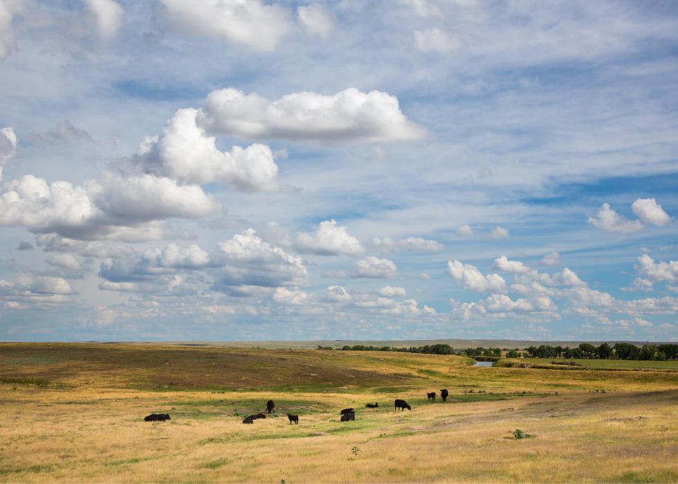
Nebraska
#1. Grassland pasture and range: 23,677,000 acres (48.2% of all land)
#2. Cropland: 21,857,000 acres (44.5% of all land)
-- Cropland used for crops: 20,442,000 acres (93.5% of cropland)
-- Idle cropland: 1,090,000 acres (5%)
-- Cropland pasture: 326,000 acres (1.5%)
#3. Special-use areas: 1,562,000 acres (3.2% of all land)
-- Rural transportation: 907,000 acres (58.1% of special-use land)
-- Parks and wildlife: 394,000 acres (25.2%)
-- Defense and industrial: 9,000 acres (0.6%)
-- Farmsteads and farm roads: 252,000 acres (16.1%)
#4. Forest-use land: 1,470,000 acres (3% of all land)
#5. Urban areas: 344,000 acres (0.7% of all land)
#6. Miscellaneous other land: 258,000 acres (0.5% of all land)
Like Montana, about half the land in Nebraska is covered in grassland pasture—the difference is that unlike the Treasure State, the rest of Nebraska is all cropland, with little in the way of forests or special-use zones, which only constitute about 3% each. The grassland comprises such an important part of the state's ecology, in fact, that the University of Nebraska has its own Center for Grassland Studies.
Nevada
#1. Grassland pasture and range: 52,329,000 acres (74.5% of all land)
#2. Special-use areas: 11,276,000 acres (16% of all land)
-- Rural transportation: 373,000 acres (3.3% of special-use land)
-- Parks and wildlife: 6,580,000 acres (58.4%)
-- Defense and industrial: 4,295,000 acres (38.1%)
-- Farmsteads and farm roads: 27,000 acres (0.2%)
#3. Forest-use land: 5,417,000 acres (7.7% of all land)
#4. Cropland: 577,000 acres (0.8% of all land)
-- Cropland used for crops: 478,000 acres (82.8% of cropland)
-- Idle cropland: 42,000 acres (7.3%)
-- Cropland pasture: 57,000 acres (9.9%)
#5. Urban areas: 520,000 acres (0.7% of all land)
#6. Miscellaneous other land: 141,000 acres (0.2% of all land)
Nevada is largely grasslands, with 52.3 million acres covering almost 75% of the state. The majority of the state lies within the Great Plains, where sagebrush rolls around on large, sweeping prairies. The grasslands of Nevada support ranching and “most of the nation's wild horses, big game and small game hunting, fishing, wildlife viewing, motorized and non-motorized recreation, military training and testing,” according to the University of Nevada, Reno.
New Hampshire
#1. Forest-use land: 4,341,000 acres (75.8% of all land)
#2. Special-use areas: 605,000 acres (10.6% of all land)
-- Rural transportation: 86,000 acres (14.2% of special-use land)
-- Parks and wildlife: 499,000 acres (82.5%)
-- Defense and industrial: 3,000 acres (0.5%)
-- Farmsteads and farm roads: 17,000 acres (2.8%)
#3. Urban areas: 423,000 acres (7.4% of all land)
#4. Miscellaneous other land: 151,000 acres (2.6% of all land)
#5. Grassland pasture and range: 116,000 acres (2% of all land)
#6. Cropland: 93,000 acres (1.6% of all land)
-- Cropland used for crops: 73,000 acres (78.5% of cropland)
-- Idle cropland: 18,000 acres (19.4%)
-- Cropland pasture: 2,000 acres (2.2%)
New Hampshire is the second-most-forested state in the country after Maine. Most of the forest-use land (about 97%) is considered timberland. A large portion is privately owned by individuals and enterprises operating on almost three-quarters of the forestland.
New Jersey
#1. Urban areas: 1,885,000 acres (40% of all land)
#2. Forest-use land: 1,116,000 acres (23.7% of all land)
#3. Special-use areas: 1,093,000 acres (23.2% of all land)
-- Rural transportation: 46,000 acres (4.2% of special-use land)
-- Parks and wildlife: 945,000 acres (86.5%)
-- Defense and industrial: 71,000 acres (6.5%)
-- Farmsteads and farm roads: 30,000 acres (2.7%)
#4. Cropland: 449,000 acres (9.5% of all land)
-- Cropland used for crops: 403,000 acres (89.8% of cropland)
-- Idle cropland: 29,000 acres (6.5%)
-- Cropland pasture: 16,000 acres (3.6%)
#5. Miscellaneous other land: 85,000 acres (1.8% of all land)
#6. Grassland pasture and range: 78,000 acres (1.7% of all land)
Perhaps unsurprisingly, New Jersey is mostly urban, with 40% of its land and 1.8 million acres lying within cities and urban zones. Bordering New York, the bustling East Coast state is the fourth-smallest state in terms of land space. Newark is the most populous city, followed by Jersey City, Paterson, and Elizabeth. Apart from its urban centers, New Jersey also has about 1.1 million acres of forest-use land, and almost two-thirds is privately owned.
New Mexico
#1. Grassland pasture and range: 54,344,000 acres (70% of all land)
#2. Forest-use land: 13,278,000 acres (17.1% of all land)
#3. Special-use areas: 6,782,000 acres (8.7% of all land)
-- Rural transportation: 456,000 acres (6.7% of special-use land)
-- Parks and wildlife: 2,720,000 acres (40.1%)
-- Defense and industrial: 3,531,000 acres (52.1%)
-- Farmsteads and farm roads: 75,000 acres (1.1%)
#4. Cropland: 1,948,000 acres (2.5% of all land)
-- Cropland used for crops: 1,183,000 acres (60.7% of cropland)
-- Idle cropland: 534,000 acres (27.4%)
-- Cropland pasture: 231,000 acres (11.9%)
#5. Miscellaneous other land: 741,000 acres (1% of all land)
#6. Urban areas: 539,000 acres (0.7% of all land)
New Mexico is another state largely covered in grassland pasture, at more than 50 million acres, or 70% of the state. Most of the land is considered desert and prairie grasslands within the Mescalero sand sheet. The zone, which eco-groups like the Nature Conservancy are working to protect, is home to species such as the dunes sagebrush lizard, black-tailed prairie dog, burrowing owl, Cassin's sparrow, ferruginous hawk, and others.
New York
#1. Forest-use land: 15,920,000 acres (52.8% of all land)
#2. Cropland: 4,247,000 acres (14.1% of all land)
-- Cropland used for crops: 3,816,000 acres (89.9% of cropland)
-- Idle cropland: 318,000 acres (7.5%)
-- Cropland pasture: 113,000 acres (2.7%)
#3. Special-use areas: 4,077,000 acres (13.5% of all land)
-- Rural transportation: 441,000 acres (10.8% of special-use land)
-- Parks and wildlife: 3,355,000 acres (82.3%)
-- Defense and industrial: 143,000 acres (3.5%)
-- Farmsteads and farm roads: 137,000 acres (3.4%)
#4. Urban areas: 2,638,000 acres (8.7% of all land)
#5. Grassland pasture and range: 2,397,000 acres (7.9% of all land)
#6. Miscellaneous other land: 882,000 acres (2.9% of all land)
Although most people think of the Big Apple when they think of New York, more than half the state is actually covered in lush forestland. The Empire State boasts more forests than any state in the Northeast, with more than 15 million acres, most of it upstate. The majority of this land is privately owned by families and individuals.
North Carolina
#1. Forest-use land: 18,078,000 acres (58.1% of all land)
#2. Cropland: 4,473,000 acres (14.4% of all land)
-- Cropland used for crops: 4,085,000 acres (91.3% of cropland)
-- Idle cropland: 294,000 acres (6.6%)
-- Cropland pasture: 95,000 acres (2.1%)
#3. Urban areas: 3,086,000 acres (9.9% of all land)
#4. Special-use areas: 2,759,000 acres (8.9% of all land)
-- Rural transportation: 578,000 acres (20.9% of special-use land)
-- Parks and wildlife: 1,575,000 acres (57.1%)
-- Defense and industrial: 454,000 acres (16.5%)
-- Farmsteads and farm roads: 151,000 acres (5.5%)
#5. Grassland pasture and range: 1,579,000 acres (5.1% of all land)
#6. Miscellaneous other land: 1,141,000 acres (3.7% of all land)
Just under 60% of North Carolina is made up of forest-use land, about 85% of which is privately owned. Forestry contributes significantly to the state's economy, and directly employing around 75,000 people and supporting more than 150,000 jobs.
North Dakota
#1. Cropland: 27,120,000 acres (61.4% of all land)
-- Cropland used for crops: 24,080,000 acres (88.8% of cropland)
-- Idle cropland: 2,718,000 acres (10%)
-- Cropland pasture: 322,000 acres (1.2%)
#2. Grassland pasture and range: 13,336,000 acres (30.2% of all land)
#3. Special-use areas: 1,697,000 acres (3.8% of all land)
-- Rural transportation: 927,000 acres (54.6% of special-use land)
-- Parks and wildlife: 552,000 acres (32.5%)
-- Defense and industrial: 13,000 acres (0.8%)
-- Farmsteads and farm roads: 205,000 acres (12.1%)
#4. Miscellaneous other land: 1,368,000 acres (3.1% of all land)
#5. Forest-use land: 517,000 acres (1.2% of all land)
#6. Urban areas: 123,000 acres (0.3% of all land)
One-quarter of the people living in the Peace Garden State are employed in agriculture, which uses a full 90% of the state's land. Popular crops in North Dakota include navy beans, pinto beans, canola, flaxseed, honey, durum, and spring wheat. On top of that, the state is home to huge numbers of livestock, particularly beef cattle, which outnumber the people more than two to one.
Ohio
#1. Cropland: 10,829,000 acres (41.4% of all land)
-- Cropland used for crops: 10,190,000 acres (94.1% of cropland)
-- Idle cropland: 530,000 acres (4.9%)
-- Cropland pasture: 109,000 acres (1%)
#2. Forest-use land: 7,864,000 acres (30.1% of all land)
#3. Urban areas: 2,883,000 acres (11% of all land)
#4. Grassland pasture and range: 2,144,000 acres (8.2% of all land)
#5. Special-use areas: 1,282,000 acres (4.9% of all land)
-- Rural transportation: 516,000 acres (40.2% of special-use land)
-- Parks and wildlife: 419,000 acres (32.7%)
-- Defense and industrial: 38,000 acres (3%)
-- Farmsteads and farm roads: 309,000 acres (24.1%)
#6. Miscellaneous other land: 1,148,000 acres (4.4% of all land)
Ohio's main crops and farm commodities include poultry, soybeans, corn, pork, and dairy, although lesser-grown items like blueberries, strawberries, and chestnuts can also be found. Forest-wise, about 96% consists of hardwood trees with more than 100 different species.
Oklahoma
#1. Grassland pasture and range: 19,756,000 acres (45% of all land)
#2. Cropland: 11,290,000 acres (25.7% of all land)
-- Cropland used for crops: 9,155,000 acres (81.1% of cropland)
-- Idle cropland: 1,123,000 acres (9.9%)
-- Cropland pasture: 1,011,000 acres (9%)
#3. Forest-use land: 7,656,000 acres (17.4% of all land)
#4. Miscellaneous other land: 2,593,000 acres (5.9% of all land)
#5. Special-use areas: 1,750,000 acres (4% of all land)
-- Rural transportation: 704,000 acres (40.2% of special-use land)
-- Parks and wildlife: 538,000 acres (30.7%)
-- Defense and industrial: 189,000 acres (10.8%)
-- Farmsteads and farm roads: 319,000 acres (18.2%)
#6. Urban areas: 856,000 acres (1.9% of all land)
Common among Oklahoma's open prairies are mesquite plants, sage, and cacti plants, as well as grassland wildlife such as deer, elk, antelope, rabbits, coyotes, wolves, foxes, and even American bison. About one-quarter of the state is covered in crops, and the state ranks nationally for rye, beef cows, winter wheat, and pecans.
Oregon
#1. Forest-use land: 24,116,000 acres (39.3% of all land)
#2. Grassland pasture and range: 23,863,000 acres (38.8% of all land)
#3. Cropland: 4,664,000 acres (7.6% of all land)
-- Cropland used for crops: 3,522,000 acres (75.5% of cropland)
-- Idle cropland: 834,000 acres (17.9%)
-- Cropland pasture: 308,000 acres (6.6%)
#4. Special-use areas: 4,151,000 acres (6.8% of all land)
-- Rural transportation: 458,000 acres (11% of special-use land)
-- Parks and wildlife: 3,446,000 acres (83%)
-- Defense and industrial: 128,000 acres (3.1%)
-- Farmsteads and farm roads: 119,000 acres (2.9%)
#5. Miscellaneous other land: 3,919,000 acres (6.4% of all land)
#6. Urban areas: 719,000 acres (1.2% of all land)
The Beaver State has excelled over the years at protecting much of its rangeland, farms, and forests from business development. The state's forest-practices and land-use laws help prevent these areas from being converted into residential or commercial land. The grasslands, which make up roughly the same amount of land as forests, exist mostly in the central and eastern parts of the state where perennial bunchgrasses and forbs abound.
Pennsylvania
#1. Forest-use land: 16,242,000 acres (56.7% of all land)
#2. Cropland: 4,517,000 acres (15.8% of all land)
-- Cropland used for crops: 3,952,000 acres (87.5% of cropland)
-- Idle cropland: 446,000 acres (9.9%)
-- Cropland pasture: 119,000 acres (2.6%)
#3. Urban areas: 3,069,000 acres (10.7% of all land)
#4. Special-use areas: 2,751,000 acres (9.6% of all land)
-- Rural transportation: 581,000 acres (21.1% of special-use land)
-- Parks and wildlife: 1,924,000 acres (69.9%)
-- Defense and industrial: 43,000 acres (1.6%)
-- Farmsteads and farm roads: 203,000 acres (7.4%)
#5. Grassland pasture and range: 1,287,000 acres (4.5% of all land)
#6. Miscellaneous other land: 770,000 acres (2.7% of all land)
Almost 60% of Pennsylvania, or about 16.2 million acres, consists of forest-use land, and almost 80% is privately owned by individuals, families, or partnerships, some of whom use the land for private homes. The vast majority of owners live within a mile of their tract and own only one.
Rhode Island
#1. Forest-use land: 290,000 acres (43.8% of all land)
#2. Urban areas: 258,000 acres (39% of all land)
#3. Special-use areas: 81,000 acres (12.2% of all land)
-- Rural transportation: 11,000 acres (13.6% of special-use land)
-- Parks and wildlife: 65,000 acres (80.2%)
-- Defense and industrial: 3,000 acres (3.7%)
-- Farmsteads and farm roads: 2,000 acres (2.5%)
#4. Cropland: 25,000 acres (3.8% of all land)
-- Cropland used for crops: 19,000 acres (76% of cropland)
-- Idle cropland: 4,000 acres (16%)
-- Cropland pasture: 2,000 acres (8%)
#5. Grassland pasture and range: 7,000 acres (1.1% of all land)
#6. Miscellaneous other land: 211 acres (0% of all land)
More than 40% of Rhode Island is considered forestland, although the state is so small the number adds up to less than 300,000 acres. The Rhode Island Department of Management's (DEM) Division of Forest Environment oversees about parks and forest-management areas.
South Carolina
#1. Forest-use land: 13,025,000 acres (67.7% of all land)
#2. Cropland: 1,904,000 acres (9.9% of all land)
-- Cropland used for crops: 1,540,000 acres (80.9% of cropland)
-- Idle cropland: 308,000 acres (16.2%)
-- Cropland pasture: 55,000 acres (2.9%)
#3. Urban areas: 1,591,000 acres (8.3% of all land)
#4. Special-use areas: 998,000 acres (5.2% of all land)
-- Rural transportation: 426,000 acres (42.7% of special-use land)
-- Parks and wildlife: 247,000 acres (24.7%)
-- Defense and industrial: 244,000 acres (24.4%)
-- Farmsteads and farm roads: 81,000 acres (8.1%)
#5. Grassland pasture and range: 976,000 acres (5.1% of all land)
#6. Miscellaneous other land: 745,000 acres (3.9% of all land)
The timber composition of South Carolina's 13 million acres of forest is split almost evenly, with 52% being hardwoods and 48% softwoods. The forestry industry tops South Carolina's list of manufacturing industries in jobs and labor income.

South Dakota
#1. Grassland pasture and range: 24,972,000 acres (51.5% of all land)
#2. Cropland: 19,356,000 acres (39.9% of all land)
-- Cropland used for crops: 17,624,000 acres (91.1% of cropland)
-- Idle cropland: 1,203,000 acres (6.2%)
-- Cropland pasture: 528,000 acres (2.7%)
#3. Special-use areas: 1,916,000 acres (3.9% of all land)
-- Rural transportation: 825,000 acres (43.1% of special-use land)
-- Parks and wildlife: 892,000 acres (46.6%)
-- Defense and industrial: 6,000 acres (0.3%)
-- Farmsteads and farm roads: 193,000 acres (10.1%)
#4. Forest-use land: 1,789,000 acres (3.7% of all land)
#5. Miscellaneous other land: 334,000 acres (0.7% of all land)
#6. Urban areas: 152,000 acres (0.3% of all land)
Set in the heart of the Midwest amid states like Iowa, Minnesota, Montana, and Nebraska, more than half of South Dakota is covered in grassland pasture and range. This land mostly consists of three types of prairie—tallgrass prairie, mixed grass prairie, and shortgrass prairie. Like Montana and other states, South Dakota falls within the Great Plains and is hallmarked by wildlife like deer, coyotes, prairie dogs, eagles, hawks, and other creatures.
Tennessee
#1. Forest-use land: 13,500,000 acres (51.2% of all land)
#2. Cropland: 5,261,000 acres (19.9% of all land)
-- Cropland used for crops: 4,479,000 acres (85.1% of cropland)
-- Idle cropland: 374,000 acres (7.1%)
-- Cropland pasture: 408,000 acres (7.8%)
#3. Grassland pasture and range: 3,424,000 acres (13% of all land)
#4. Special-use areas: 2,018,000 acres (7.6% of all land)
-- Rural transportation: 476,000 acres (23.6% of special-use land)
-- Parks and wildlife: 1,180,000 acres (58.5%)
-- Defense and industrial: 174,000 acres (8.6%)
-- Farmsteads and farm roads: 189,000 acres (9.4%)
#5. Urban areas: 1,920,000 acres (7.3% of all land)
#6. Miscellaneous other land: 267,000 acres (1% of all land)
Tennessee has roughly 13.5 million acres of forestland, which is more than half of the land in the state. More than 81% of the forestland is privately-owned, and the vast majority of the trees in the state's forests are hardwoods.
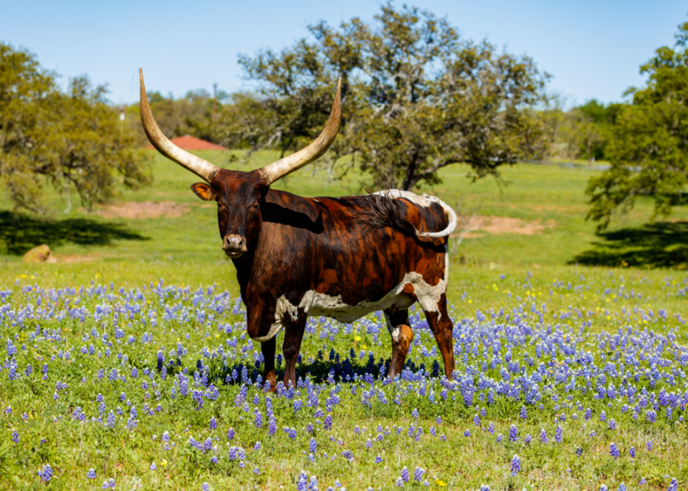
Texas
#1. Grassland pasture and range: 104,603,000 acres (62.6% of all land)
#2. Cropland: 29,215,000 acres (17.5% of all land)
-- Cropland used for crops: 21,598,000 acres (73.9% of cropland)
-- Idle cropland: 4,773,000 acres (16.3%)
-- Cropland pasture: 2,844,000 acres (9.7%)
#3. Forest-use land: 14,357,000 acres (8.6% of all land)
#4. Miscellaneous other land: 6,790,000 acres (4.1% of all land)
#5. Special-use areas: 6,419,000 acres (3.8% of all land)
-- Rural transportation: 1,792,000 acres (27.9% of special-use land)
-- Parks and wildlife: 3,167,000 acres (49.3%)
-- Defense and industrial: 493,000 acres (7.7%)
-- Farmsteads and farm roads: 967,000 acres (15.1%)
#6. Urban areas: 5,805,000 acres (3.5% of all land)
Throughout the expansive grassland and pasture in Texas, more than 570 species of grass can be found—470 of them native to the Lone Star State. With more than one million acres of pasture, it may not be surprising that Texas has more cattle than any other state.
Utah
#1. Grassland pasture and range: 32,774,000 acres (62.3% of all land)
#2. Forest-use land: 9,810,000 acres (18.7% of all land)
#3. Special-use areas: 6,045,000 acres (11.5% of all land)
-- Rural transportation: 373,000 acres (6.2% of special-use land)
-- Parks and wildlife: 3,798,000 acres (62.8%)
-- Defense and industrial: 1,815,000 acres (30%)
-- Farmsteads and farm roads: 59,000 acres (1%)
#4. Miscellaneous other land: 1,870,000 acres (3.6% of all land)
#5. Cropland: 1,476,000 acres (2.8% of all land)
-- Cropland used for crops: 1,090,000 acres (73.8% of cropland)
-- Idle cropland: 246,000 acres (16.7%)
-- Cropland pasture: 140,000 acres (9.5%)
#6. Urban areas: 614,000 acres (1.2% of all land)
Although Utah is famous for its mountainous ski hills and stunning slot canyons, 65% of the state, mostly in the southern section, is covered in grasslands. This area marks the southernmost location in the country where greater sage-grouses live, according to Nicki Frey, an extension associate professor in the Department of Wildland Resources at Utah State University.
Vermont
#1. Forest-use land: 4,476,000 acres (75.9% of all land)
#2. Special-use areas: 498,000 acres (8.4% of all land)
-- Rural transportation: 87,000 acres (17.5% of special-use land)
-- Parks and wildlife: 369,000 acres (74.1%)
-- Defense and industrial: 12,000 acres (2.4%)
-- Farmsteads and farm roads: 30,000 acres (6%)
#3. Cropland: 412,000 acres (7% of all land)
-- Cropland used for crops: 379,000 acres (92% of cropland)
-- Idle cropland: 19,000 acres (4.6%)
-- Cropland pasture: 15,000 acres (3.6%)
#4. Grassland pasture and range: 305,000 acres (5.2% of all land)
#5. Miscellaneous other land: 106,000 acres (1.8% of all land)
#6. Urban areas: 101,000 acres (1.7% of all land)
The forests in Vermont are concentrated in Caledonia and Essex Counties where 82% and 94% of the land, respectively, is forested. About 80% of the state's forests are privately-owned while the government manages 19%, and only 1% belongs to business or industry.
Virginia
#1. Forest-use land: 15,385,000 acres (60.9% of all land)
#2. Cropland: 2,989,000 acres (11.8% of all land)
-- Cropland used for crops: 2,636,000 acres (88.2% of cropland)
-- Idle cropland: 205,000 acres (6.9%)
-- Cropland pasture: 148,000 acres (5%)
#3. Grassland pasture and range: 2,794,000 acres (11.1% of all land)
#4. Special-use areas: 1,793,000 acres (7.1% of all land)
-- Rural transportation: 344,000 acres (19.2% of special-use land)
-- Parks and wildlife: 898,000 acres (50.1%)
-- Defense and industrial: 413,000 acres (23%)
-- Farmsteads and farm roads: 137,000 acres (7.6%)
#5. Urban areas: 1,744,000 acres (6.9% of all land)
#6. Miscellaneous other land: 569,000 acres (2.3% of all land)
Virginia is about 61% forestland with about 79% hardwood timberland and 21% softwood forests. Urbanization and development are contributing to loss of forestland.
Washington
#1. Forest-use land: 18,081,000 acres (42.5% of all land)
#2. Special-use areas: 7,601,000 acres (17.9% of all land)
-- Rural transportation: 548,000 acres (7.2% of special-use land)
-- Parks and wildlife: 5,572,000 acres (73.3%)
-- Defense and industrial: 1,355,000 acres (17.8%)
-- Farmsteads and farm roads: 127,000 acres (1.7%)
#3. Cropland: 7,539,000 acres (17.7% of all land)
-- Cropland used for crops: 5,558,000 acres (73.7% of cropland)
-- Idle cropland: 1,856,000 acres (24.6%)
-- Cropland pasture: 125,000 acres (1.7%)
#4. Grassland pasture and range: 7,314,000 acres (17.2% of all land)
#5. Urban areas: 1,553,000 acres (3.7% of all land)
#6. Miscellaneous other land: 444,000 acres (1% of all land)
Policy changes at both the state and federal levels at the end of the 20th century had a significant impact on the timber-harvesting industry in Washington, by way of restrictions on things like clearcutting and replanting. Most of the state's forestland is owned by the federal government, with a little over a third belonging to private landowners.
West Virginia
#1. Forest-use land: 11,780,000 acres (76.6% of all land)
#2. Grassland pasture and range: 1,351,000 acres (8.8% of all land)
#3. Special-use areas: 1,043,000 acres (6.8% of all land)
-- Rural transportation: 208,000 acres (19.9% of special-use land)
-- Parks and wildlife: 784,000 acres (75.2%)
-- Defense and industrial: 4,000 acres (0.4%)
-- Farmsteads and farm roads: 47,000 acres (4.5%)
#4. Cropland: 781,000 acres (5.1% of all land)
-- Cropland used for crops: 685,000 acres (87.7% of cropland)
-- Idle cropland: 42,000 acres (5.4%)
-- Cropland pasture: 54,000 acres (6.9%)
#5. Urban areas: 420,000 acres (2.7% of all land)
#6. Miscellaneous other land: 10,000 acres (0.1% of all land)
The forestland in the state has been stable since the late 1980s, according to the USDA. The most numerous tree in the state is red maple, but the most voluminous is the yellow-poplar.
Wisconsin
#1. Forest-use land: 16,727,000 acres (48.3% of all land)
#2. Cropland: 10,071,000 acres (29.1% of all land)
-- Cropland used for crops: 9,301,000 acres (92.4% of cropland)
-- Idle cropland: 607,000 acres (6.0%)
-- Cropland pasture: 164,000 acres (1.6%)
#3. Grassland pasture and range: 2,864,000 acres (8.3% of all land)
#4. Special-use areas: 2,344,000 acres (6.8% of all land)
-- Rural transportation: 930,000 acres (39.7% of special-use land)
-- Parks and wildlife: 961,000 acres (41.0%)
-- Defense and industrial: 142,000 acres (6.1%)
-- Farmsteads and farm roads: 311,000 acres (13.3%)
#5. Miscellaneous other land: 1,422,000 acres (4.1% of all land)
#6. Urban areas: 1,234,000 acres (3.6% of all land)
Wisconsin's timber volume has been growing, especially when it comes to white pine. Different counties in the state dominate when it comes to forest acreage for some species.
Wyoming
#1. Grassland pasture and range: 46,086,000 acres (74.2% of all land)
#2. Forest-use land: 7,002,000 acres (11.3% of all land)
#3. Special-use areas: 6,340,000 acres (10.2% of all land)
-- Rural transportation: 416,000 acres (6.6% of special-use land)
-- Parks and wildlife: 5,861,000 acres (92.4%)
-- Defense and industrial: 17,000 acres (0.3%)
-- Farmsteads and farm roads: 47,000 acres (0.7%)
#4. Cropland: 1,986,000 acres (3.2% of all land)
-- Cropland used for crops: 1,523,000 acres (76.7% of cropland)
-- Idle cropland: 207,000 acres (10.4%)
-- Cropland pasture: 256,000 acres (12.9%)
#5. Miscellaneous other land: 597,000 acres (1% of all land)
#6. Urban areas: 128,000 acres (0.2% of all land)
Wyoming is brimming with grassland that totals about 46 million acres of pastures and prairies. Most of the state's grasslands are categorized as either shortgrass prairie—primarily in the southeastern part where buffalo grass and blue grama reign, and mixed-grass prairie—found in the eastern part of the state and hosting more diverse plants, such as western wheatgrass, prairie Junegrass, upland sedges, and Indian ricegrass.