Cities with the most properties at risk of flooding
This story originally appeared on Stacker and was produced and distributed in partnership with Stacker Studio.
Cities with the most properties at risk of flooding
Flooding is a huge problem in America and is only getting worse as global warming increases the frequency and strength of tropical storms and hurricanes, and the warmer atmosphere holds more water, leading to more rainfall. Warmer temperatures also trigger winter snow to melt faster and earlier.
Flooding in the United States is likely to cause some $20 billion in damages this year and cost as much as $32 billion by 2051, according to research from First Street. Sundae took a look at the nation’s top 10 cities with the most properties at risk of flooding, using 2020 data from the First Street Foundation’s First National Flood Risk Assessment. Using First Street’s flood risk model based on existing environmental and weather data, the cities are ranked by the percentage of at-risk properties out of total properties. Projected data also is included for properties at risk in 2050 and the projected 30-year change.
As the nation’s urban areas grow, more impermeable pavement creates runoff and hinders the ground’s ability to absorb water. Development encroaches on wetlands and forests that acted as natural flood prevention and barriers. Aging and poorly maintained infrastructure worsen urban flooding, and the building of levees and channels and the loss of shoreline vegetation alters the natural flow of rivers, fueling their potential to overflow their banks.
Continue reading to find out which U.S. cities are at the highest risk of flooding.
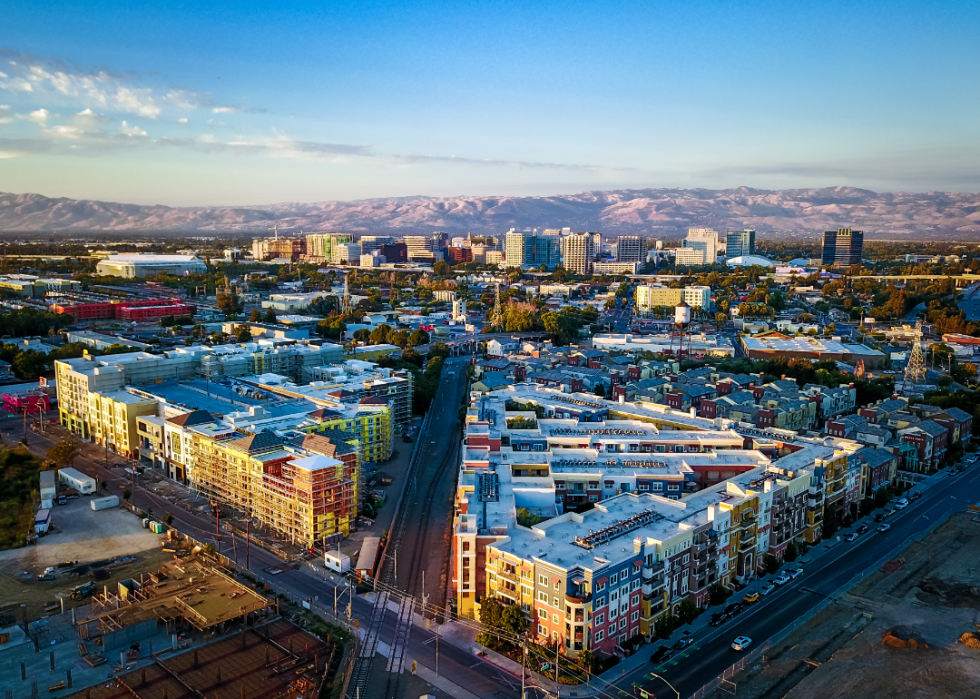
#10. San Jose, California
- Properties at risk in 2020: 56,243 (25% of total properties in the city)
- Projected properties at risk in 2050: 59,298 (26% of total properties)
--- Projected 30-year change: 3,055 (5.4%)
The Guadalupe River and Coyote Creek flow through San Jose from the coastal mountains on their way to San Francisco Bay, and strong winter storms can cause them to flood. The river has topped its banks several times in the last century, and the creek caused major damage when it flooded during powerful storms in 2017.

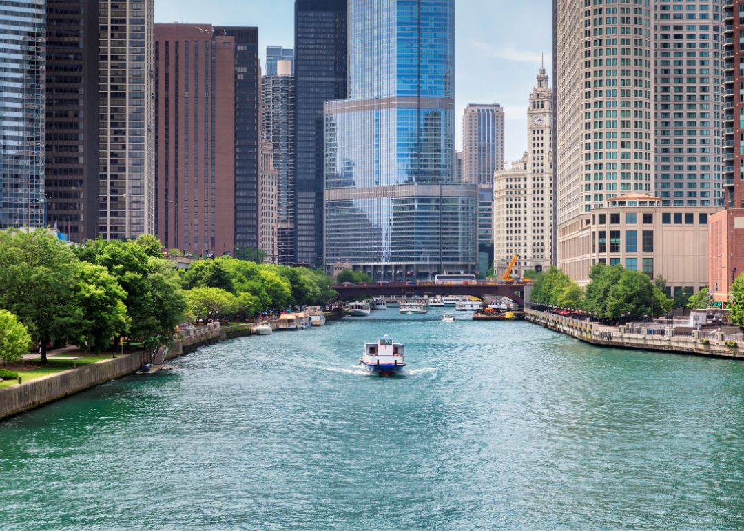
#9. Chicago, Illinois
- Properties at risk in 2020: 154,824 (26% of total properties in the city)
- Projected properties at risk in 2050: 160,068 (27% of total properties)
--- Projected 30-year change: 5,244 (3.4%)
In Chicago, the city’s river overflows and its streets are inundated during storms. Its aging sewer system often cannot handle the water from ever stronger and more frequent onslaughts. Underway is a huge Tunnel and Reservoir Plan, known as “Deep Tunnel,” a system of tunnels and reservoirs designed to capture and store stormwater and sewage that would otherwise overflow into waterways during rainstorms. Its next stage is due to be completed in 2029.
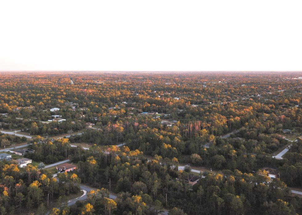
#8. Lehigh Acres, Florida
- Properties at risk in 2020: 37,289 (30% of total properties in the city)
- Projected properties at risk in 2050: 39,844 (32% of total properties)
--- Projected 30-year change: 2,555 (6.9%)
Lehigh Acres in southwestern Florida took a direct hit in 2017 from Hurricane Irma, which knocked out power, downed trees, and flooded homes and streets. In 2020, the surrounding Lee County was awarded a federal grant of $7.1 million for flood resiliency spending. The money was intended to go toward drainage improvements such as sediment removal in the area’s canals and ditches.
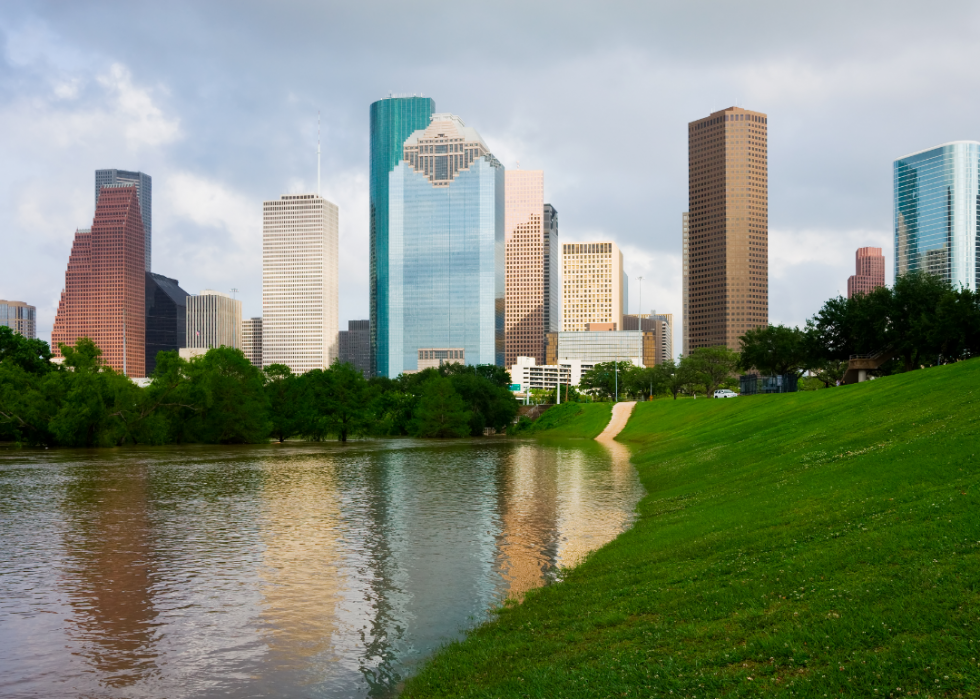
#7. Houston, Texas
- Properties at risk in 2020: 186,481 (32% of total properties in the city)
- Projected properties at risk in 2050: 202,317 (34% of total properties)
--- Projected 30-year change: 15,836 (8.5%)
After Hurricane Harvey devastated Houston in 2017, the city passed an ordinance requiring that certain buildings are raised higher than the 500-year floodplain level. Before then, only new homes had to be above the 100-year level. The severity of floods is measured in terms like 100 and 500 years, based on an area’s chances of flooding in a given year.
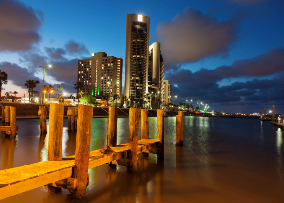
#6. Corpus Christi, Texas
- Properties at risk in 2020: 36,952 (34% of total properties in the city)
- Projected properties at risk in 2050: 47,248 (43% of total properties)
--- Projected 30-year change: 10,296 (27.9%)
Corpus Christi has about a 74% chance of flooding in any given year, according to weather statistics. In one of its worst floods, in 2010, some 13 inches of rain fell, and the flood-prone Oso Creek topped 30.6 feet. City officials calculate that more than 40 street locations are often underwater during heavy rain.

#5. Fresno, California
- Properties at risk in 2020: 54,255 (39% of total properties in the city)
- Projected properties at risk in 2050: 55,332 (39% of total properties)
--- Projected 30-year change: 1,077 (2.0%)
A network of streams flows into Fresno from the surrounding foothills, and the waterways have overflowed during storms every four years, on average, since the mid-20th century. The region has built a system of dams, reservoirs, canals, and channels in an effort to control the flooding.

#4. Tampa, Florida
- Properties at risk in 2020: 58,414 (43% of total properties in the city)
- Projected properties at risk in 2050: 72,178 (54% of total properties)
--- Projected 30-year change: 13,764 (23.6%)
The most frequent flooding in Tampa comes during its rainy season of thunderstorms and tropical storms when its flat landscape is slow to drain. Tampa participates in an incentive program in which federally funded flood insurance is available to residents at a discount to reflect the city’s floodplain management efforts.
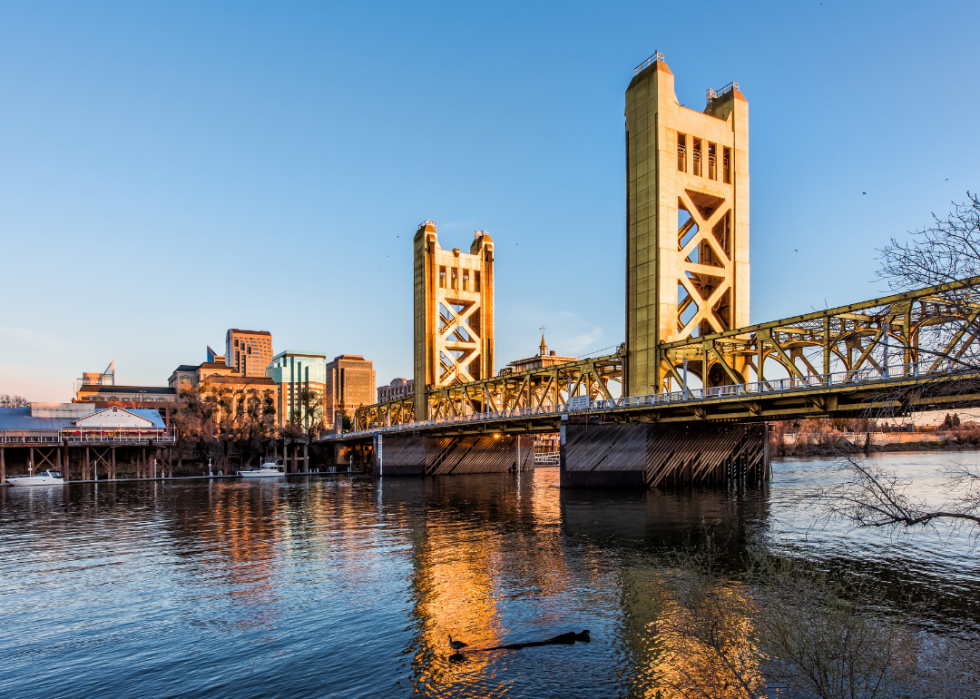
#3. Sacramento, California
- Properties at risk in 2020: 101,792 (68% of total properties in the city)
- Projected properties at risk in 2050: 109,416 (74% of total properties)
--- Projected 30-year change: 7,624 (7.5%)
The Sacramento and American rivers flow through the California capital, and of the 21 miles of levees designed to protect the city, many are more than a century old. The city also has a drainage system with more than 350 pumps that are turned on when the ground becomes saturated from rain.
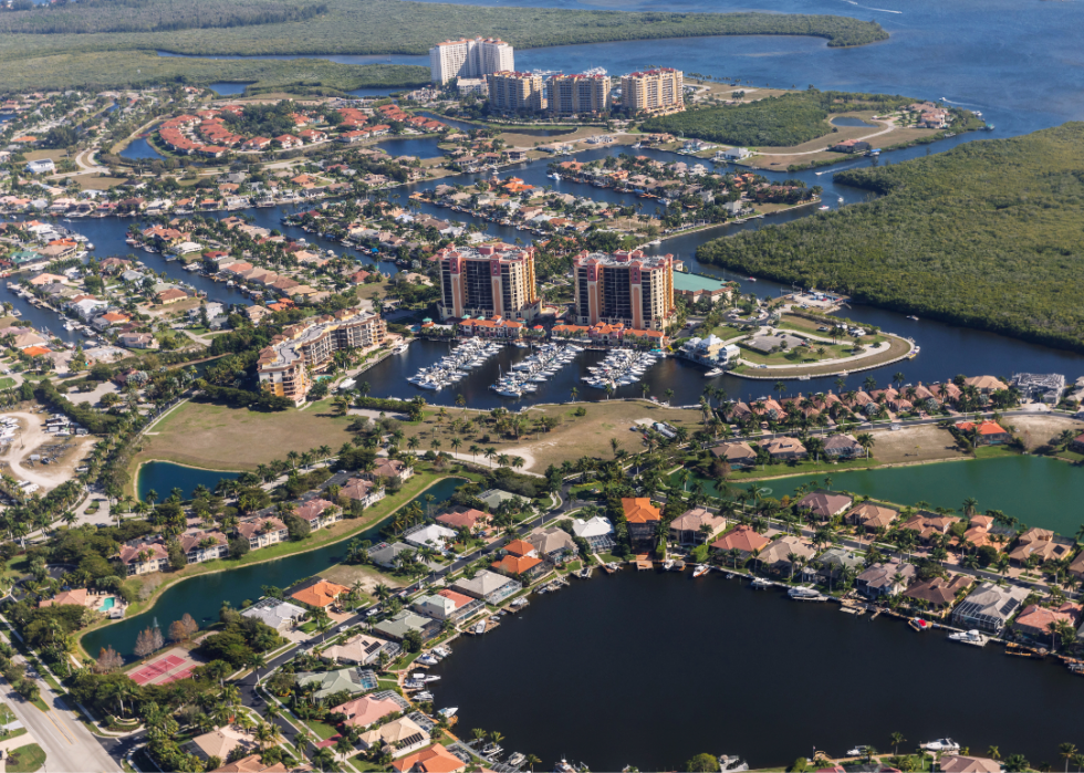
#2. Cape Coral, Florida
- Properties at risk in 2020: 111,237 (86% of total properties in the city)
- Projected properties at risk in 2050: 126,436 (97% of total properties)
--- Projected 30-year change: 15,199 (13.7%)
Some 400 miles of canals crisscross Cape Coral, which was built on drained swampland. Most of its residents live in what is designated a Special Flood Hazard Area by the Federal Emergency Management Agency. It refers to land that has about a 1% chance of flooding in any given year. Building owners must buy flood insurance policies.
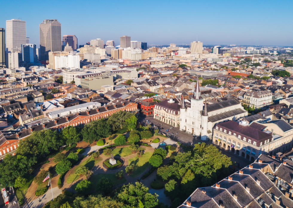
#1. New Orleans, Louisiana
- Properties at risk in 2020: 148,197 (98% of total properties in the city)
- Projected properties at risk in 2050: 148,232 (98% of total properties)
--- Projected 30-year change: 35 (0.0%)
Nearly every home in New Orleans is at risk of flooding, and the city’s 2005 experience with Hurricane Katrina showed the devastating extent of the city’s vulnerability. Katrina caused $2 billion overall in damages, and in the New Orleans area, more than 23,000 homes were demolished. The Big Easy gets a lot of rain—about 64 inches a year on average—and its stormwater management system is poor. About half the city is below sea level.


