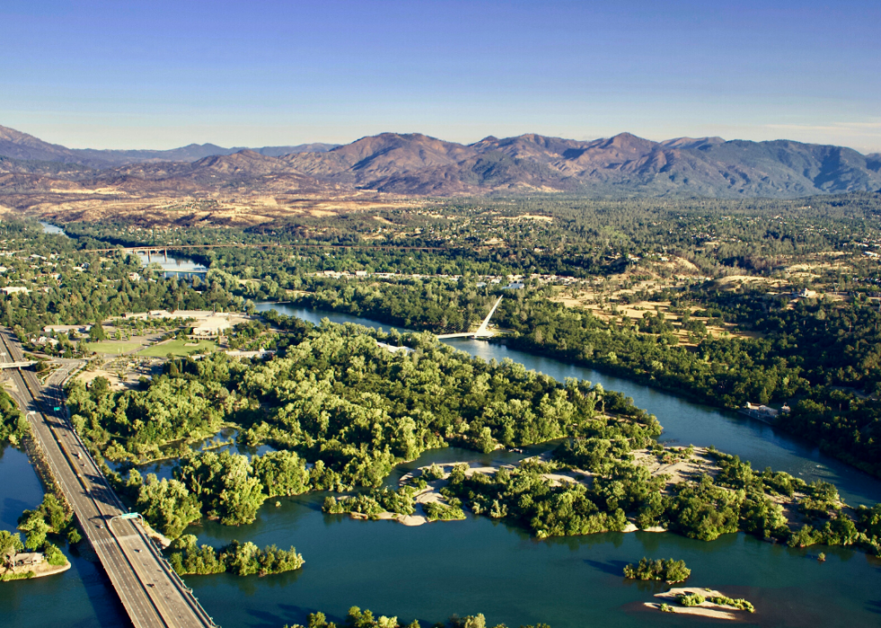
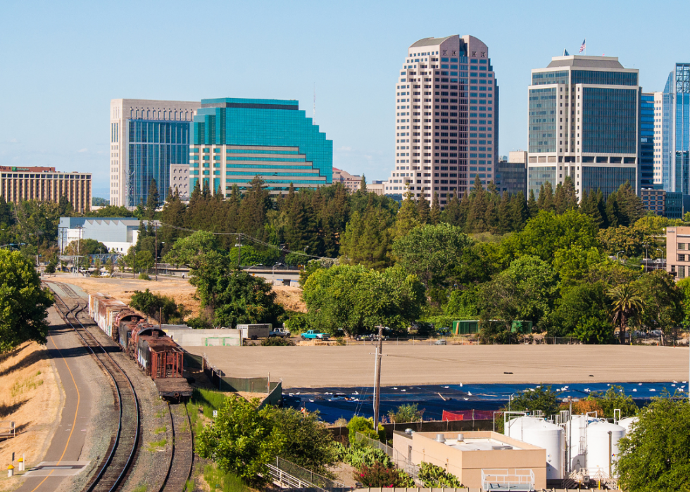
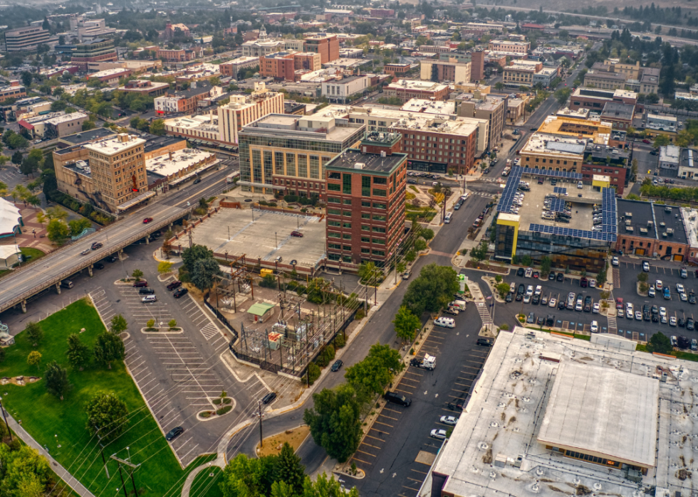
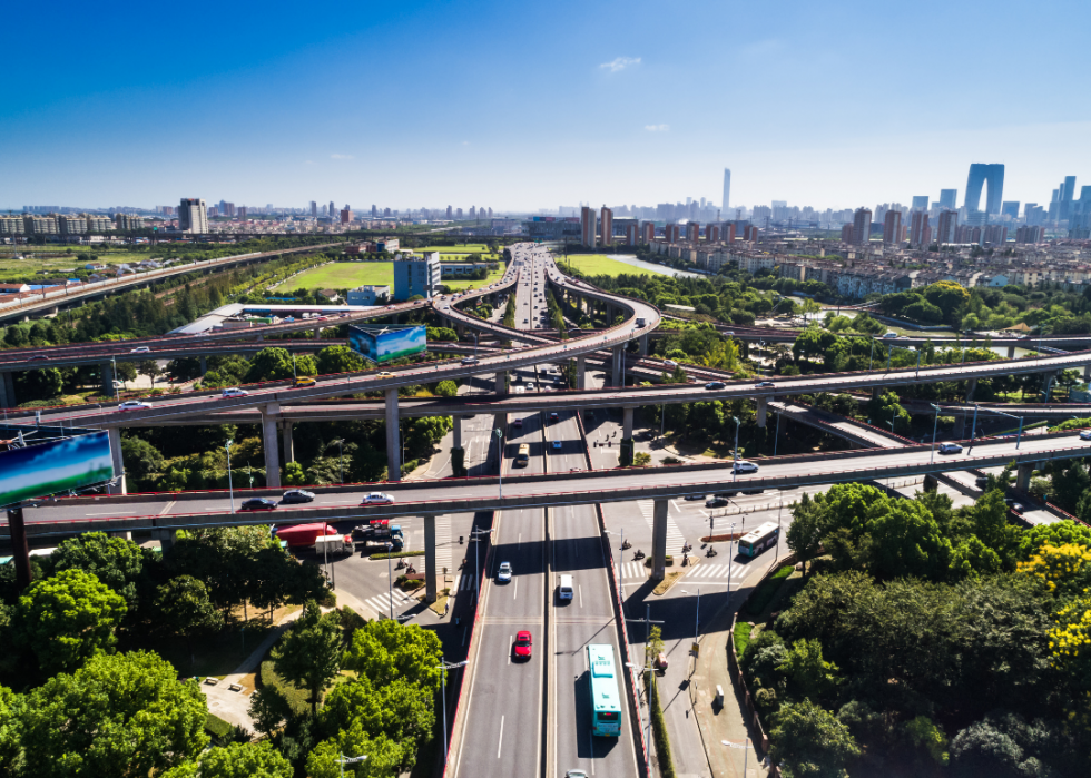
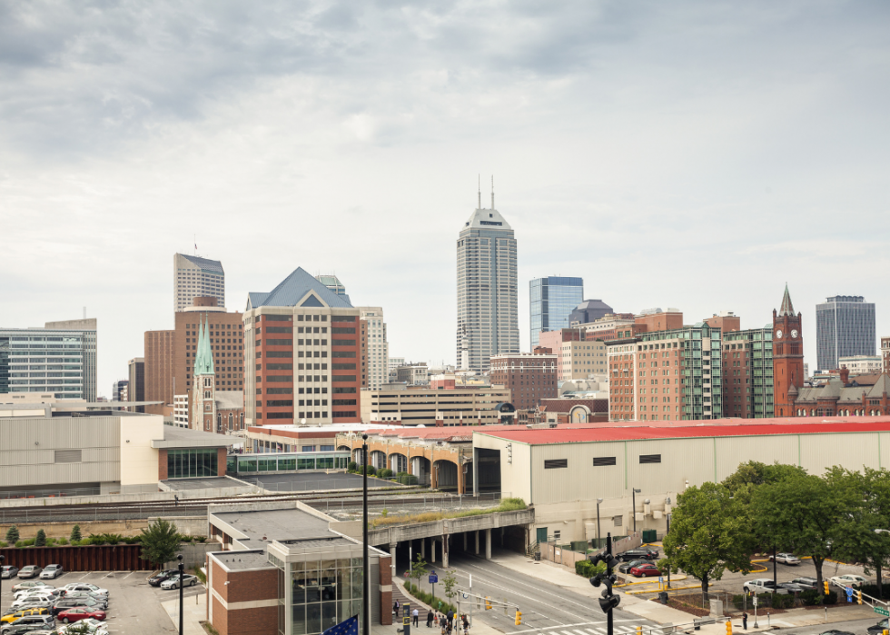
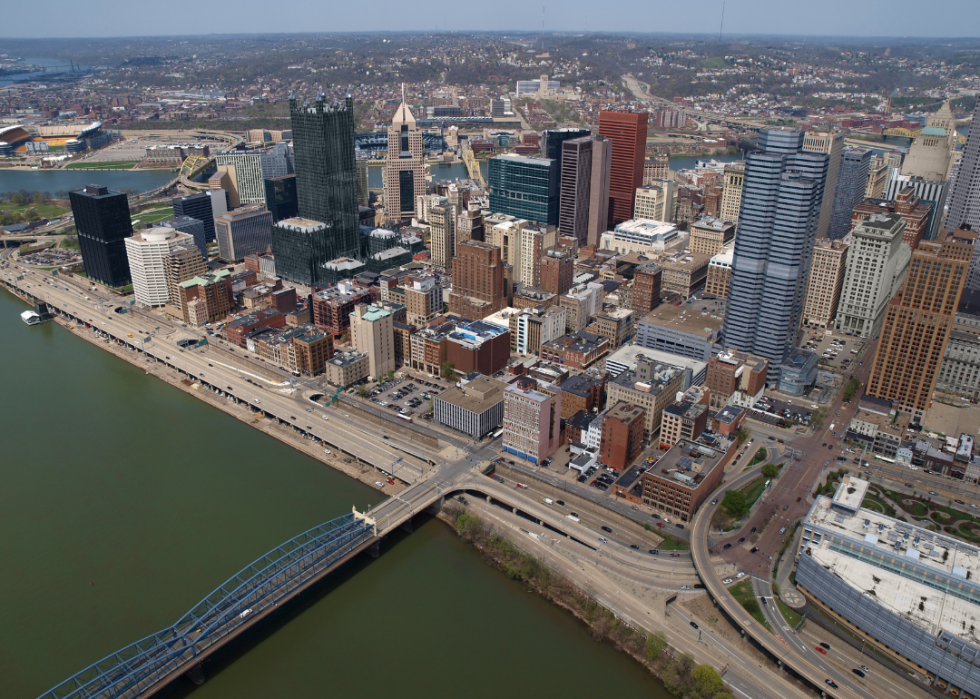
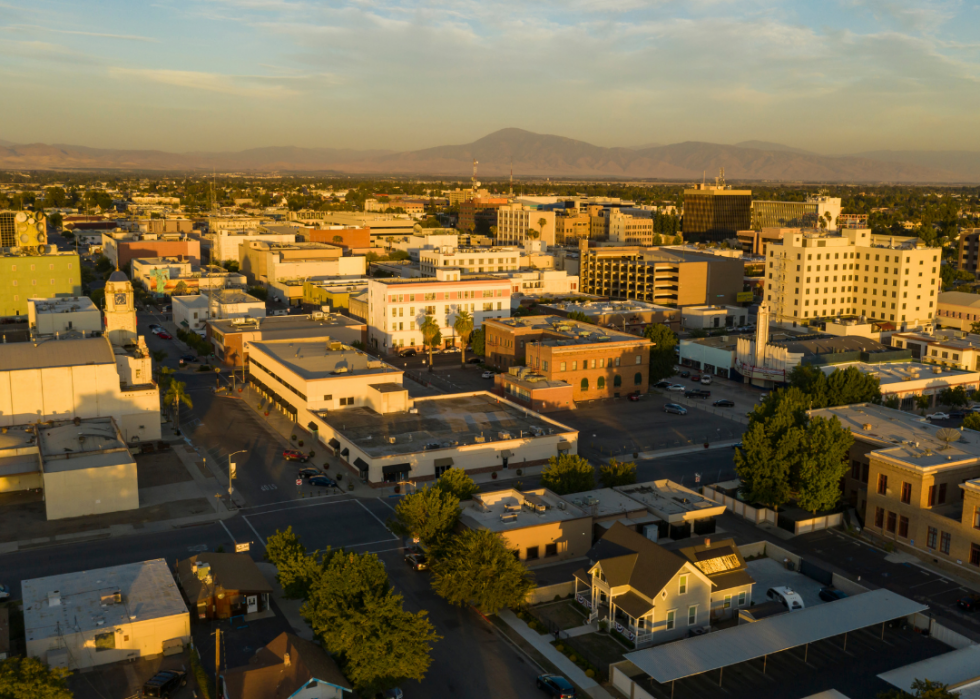
These are the most polluted cities in the US
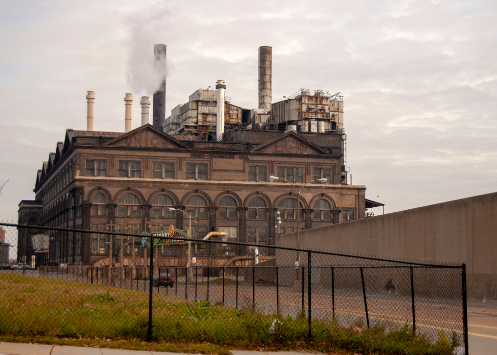
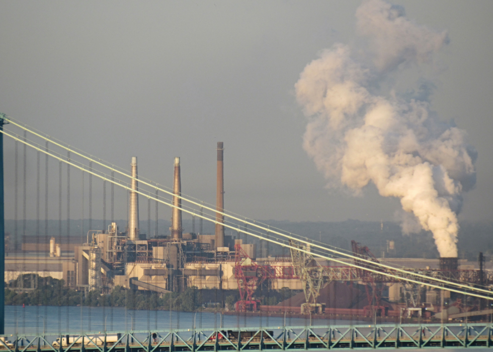
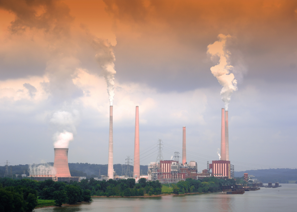
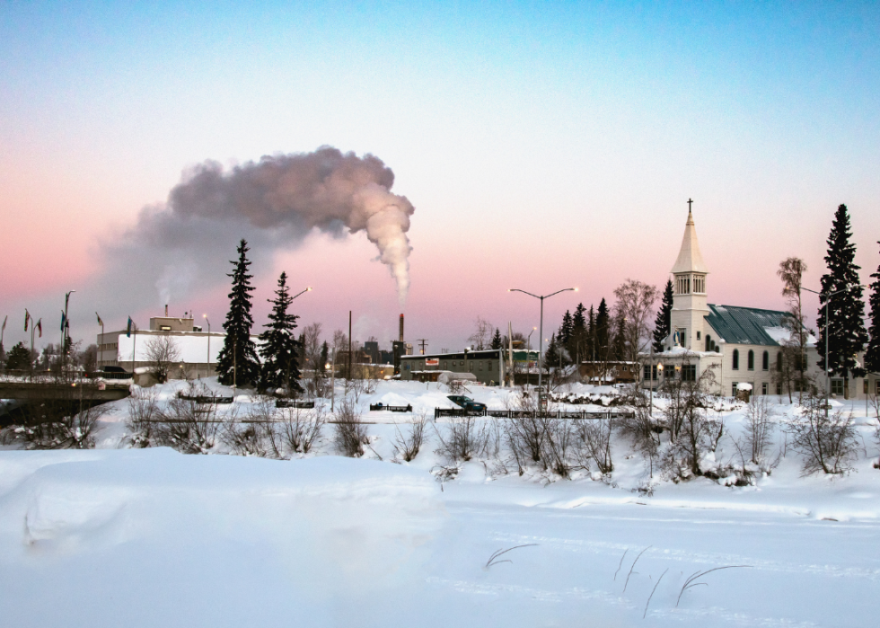
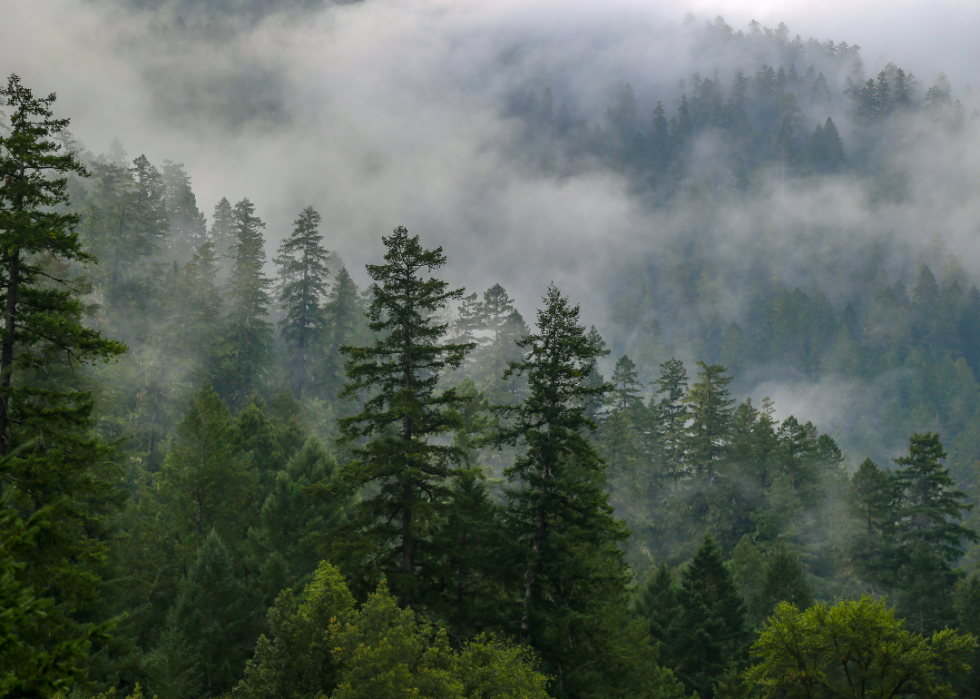
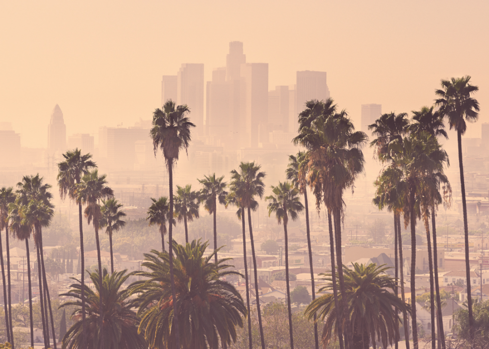
The battle against air pollution in the United States has been going on for decades. Images of dirty smokestacks in Midwestern cities and clouds of brown smog over Los Angeles have been replaced by optimistic pictures of greenways and clean industry, But dirty, unhealthy pollution persists across the country. Ozone levels—the chemical combinations that produce smog—and particulate pollution—soot, ash, smoke, and worse—still clog the air, despite decades of environmental awareness and mitigation.
The 1963 Clean Air Act made a huge difference, as have its major amendments and state and local efforts. However, after the presidential election of 2016 and increasingly polarizing political attitudes across the country, progress in reducing air pollution has slowed.
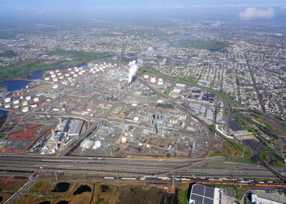
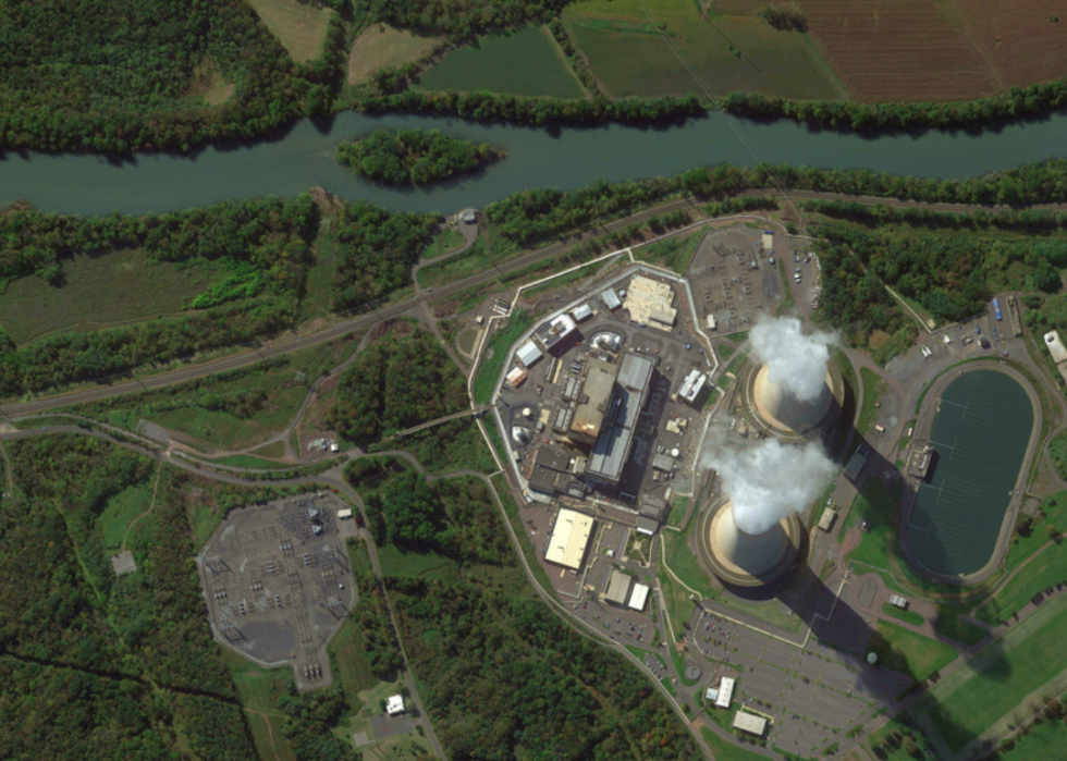
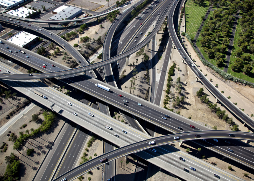
Ozone pollution, created when pollutants in emissions from vehicles, power plants, chemical plants, and other factories meet up with sunlight, is increasing. So is particulate pollution. The fallout is ugly and unjust. Research shows that people of color are far more likely than white people to suffer health problems caused by pollution.
Using year-round particle pollution data from the American Lung Association's State of the Air report, Stacker identified U.S. cities with the worst air pollution and the at-risk communities affected. Cities are organized by the U.S. Census Bureau's metropolitan statistical areas, which group cities, counties, and parts of states defined as "a core area containing a substantial population nucleus, together with adjacent communities having a high degree of economic and social integration with that core." This is why some cities and states are grouped together in the following list.
Read on to find out where America's most polluted cities are.