See how much of Missouri is experiencing drought conditions
See how much of Missouri is experiencing drought conditions
Nearly one-third of Americans experienced a weather disaster this summer, giving them first-hand experience into a future of extreme hurricanes, wildfires, storms, and floods caused by global climate change. Data from the National Oceanic and Atmospheric Administration (NOAA) and NASA both show rapid warming in the 21st century, with the past decade being the hottest on record. According to The Washington Post, the cost of responding to these weather disasters is more than $81 billion per year.
Among those disasters were several significant, costly, and deadly droughts. Droughts are among the most destructive forces in nature—only hurricanes are more economically damaging to the United States. Destroyed crops ripple through the economy, with animal feed prices increasing, which can indirectly raise the price of meats and animal products like milk and cheese. The annual losses due to drought are near $9 billion per year. Droughts also contribute to wildfires, increasing the likelihood of ignition and making them more extreme when they do happen.
Stacker ranked each state and Washington D.C., based on the average percentage of the state land that experienced drought conditions in the 20-year period from 2000 to March 2021, using data from the U.S. Drought Monitor (USDM). The USDM categories drought conditions using a five point scale ranging from "abnormally dry," indicating some short-term crop dryness or a lingering water deficit, to "exceptional drought," a serious condition involving a water emergency that leads to widespread crop/pasture losses.
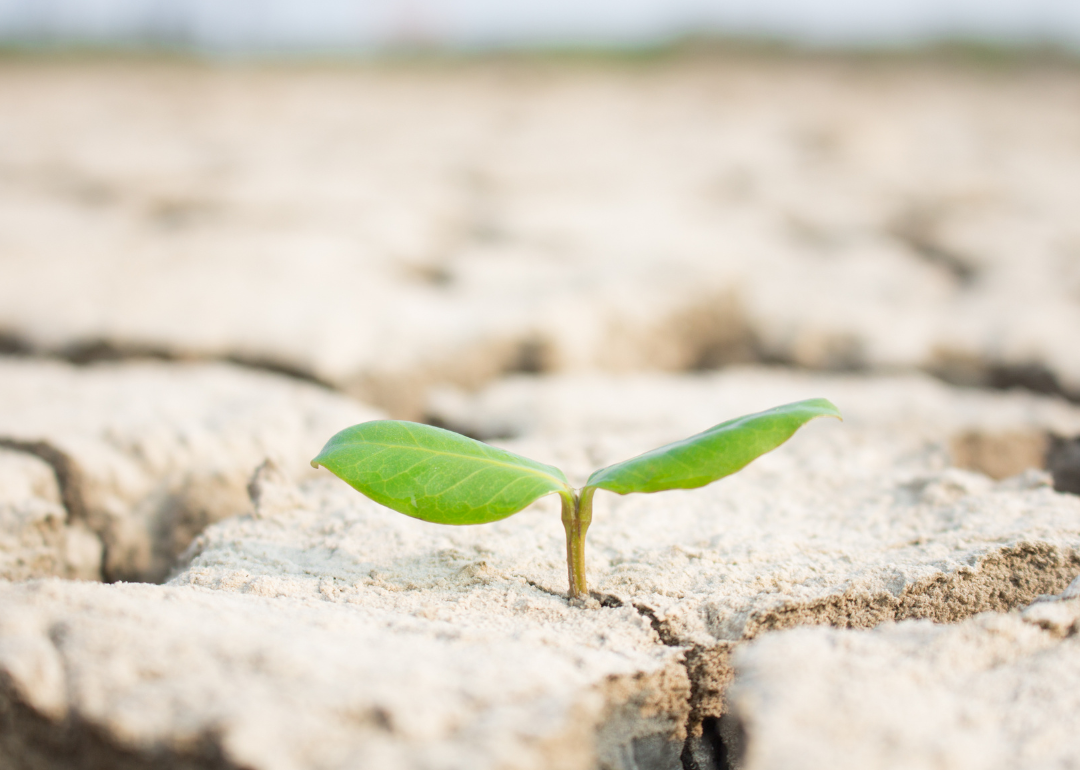
Missouri by the numbers
- Share of state experiencing drought conditions (20-year average): 22,264 sq. mi. (31.9% of land area); 1,835,512 people (30.6% of population)
--- Moderate drought: 10,948 sq. mi. (15.7% of land area); 886,968 people (14.8% of population)
--- Severe drought: 3,964 sq. mi. (5.7% of land area); 294,314 people (4.9% of population)
--- Extreme drought: 1,078 sq. mi. (1.5% of land area); 75,282 people (1.3% of population)
--- Exceptional drought: 98 sq. mi. (0.1% of land area); 7,703 people (0.1% of population)
As of March 2021, 6% of Missouri was dry, creating problems with crop planting and growth. But from 2000 to 2010, rising temperatures caused an epic drought that depleted the Missouri River—the longest river in the U.S.—to historic lows. Snowpack melt from the Rocky Mountains, which feeds the river, fell to levels so low that the mighty Missouri was lower and drier than it had been in 1,200 years.
The entire national list, including descriptions of the conditions that led to or prevented drought in each state and the events leading up to the state's change in drought status, can be found here. Continue reading to learn which states experience the worst droughts.
Most drought-ridden states
#1. Arizona
- Share of state experiencing drought conditions (20-year average): 87,702 sq. mi. (76.9% of land area); 4,867,057 people (76.1% of population)
#2. Nevada
- Share of state experiencing drought conditions (20-year average): 78,717 sq. mi. (71.2% of land area); 1,942,485 people (71.9% of population)
#3. New Mexico
- Share of state experiencing drought conditions (20-year average): 84,806 sq. mi. (69.8% of land area); 1,455,107 people (70.7% of population)
Least drought-ridden states
#1. Ohio
- Share of state experiencing drought conditions (20-year average): 6,631 sq. mi. (16.1% of land area); 1,815,050 people (15.7% of population)
#2. Alaska
- Share of state experiencing drought conditions (20-year average): 95,420 sq. mi. (16.4% of land area); 159,582 people (23.2% of population)
#3. New York
- Share of state experiencing drought conditions (20-year average): 8,721 sq. mi. (18.0% of land area); 4,174,482 people (21.5% of population)