Counties with the most emergency shelters in Connecticut
As climate change drives weather to greater extremes, and devastating hurricanes, wildfires, droughts, and blizzards preoccupy an increasing number of Americans, it is hard to avoid comparing the reality of everyday news coverage to the computer-generated images seen in disaster movies.
Over the last 50 years, natural disasters have become five times more common due to climate change, according to the World Meteorological Organization. They've also become more economically debilitating—the five most expensive climate disasters in American history have all taken place over the last two decades.
The increasing frequency and severity of natural disasters means that the need for emergency evacuation and shelter plans has never been greater. According to the Federal Emergency Management Association, understanding your climate risk, or proximity to probable natural disaster, is an important first step for making a plan. Tools like the Climate Mapping for Resilience and Adaptation allow you to assess your risk by location.
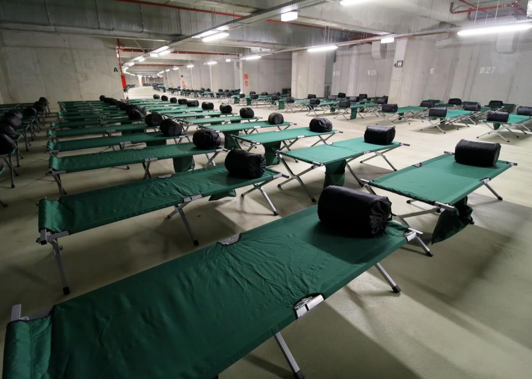
Knowing where nearby emergency shelters are located is another way to prepare for the worst. In the event of flooding, hurricane-level winds, or other disasters, emergency shelters offer a place to sleep, and also often provide food, water, and first aid services. Stacker examined the Department of Homeland Security's National Shelter System Facilities database to identify the counties with the most emergency shelters in Connecticut. Counties are ranked by emergency shelters per 100K people, with total capacity per 100K people serving as a tiebreaker.
Editor's Note: A previous version of this story incorrectly stated the total emergency shelter capacity in each county. Due to the variable availability of that data for each shelter, the data point has been removed from the updated version.
#8. New Haven County
- Shelters listed with generators: 32
- Shelters listed in 100-year floodplain: 0
#7. Fairfield County
- Shelters listed with generators: 37
- Shelters listed in 100-year floodplain: 13
#6. Middlesex County
- Shelters listed with generators: 4
- Shelters listed in 100-year floodplain: 2
#5. Hartford County
- Shelters listed with generators: 64
- Shelters listed in 100-year floodplain: 0
#4. New London County
- Shelters listed with generators: 19
- Shelters listed in 100-year floodplain: 1
#3. Tolland County
- Shelters listed with generators: 19
- Shelters listed in 100-year floodplain: 0
#2. Litchfield County
- Shelters listed with generators: 17
- Shelters listed in 100-year floodplain: 0
#1. Windham County
- Shelters listed with generators: 25
- Shelters listed in 100-year floodplain: 0