Counties in Minnesota where landslides pose the greatest threat

·Stacker

IrinaK // Shutterstock

Hurricane Helene wrought devastation across the Southeast. The storm's high winds and flooding killed more than 230 people, and the damage to property, infrastructure, and other economic impacts is estimated to be worth tens of billions of dollars.

But heavy rains and destructive winds weren't the only natural disasters out in force: The hurricane also activated nearly 2,000 landslides, of which over half have impacted roads, rivers, and structures, according to early estimates.

Even on their own, landslides are a deadly and costly natural disaster. There were 310 fatal landslides globally in the first half of 2024 alone, which killed 2,315 people—unusually high numbers compared to previous years. In the U.S., 25 to 50 people on average are killed by landslides each year, according to the Department of Interior.

Landslides from Hurricane Helene alone killed 20 people in North Carolina, which endured the worst of the storm's landslides. A combination of fast-moving mud and water destroyed roads, rail links, water access, homes, and businesses across the state.

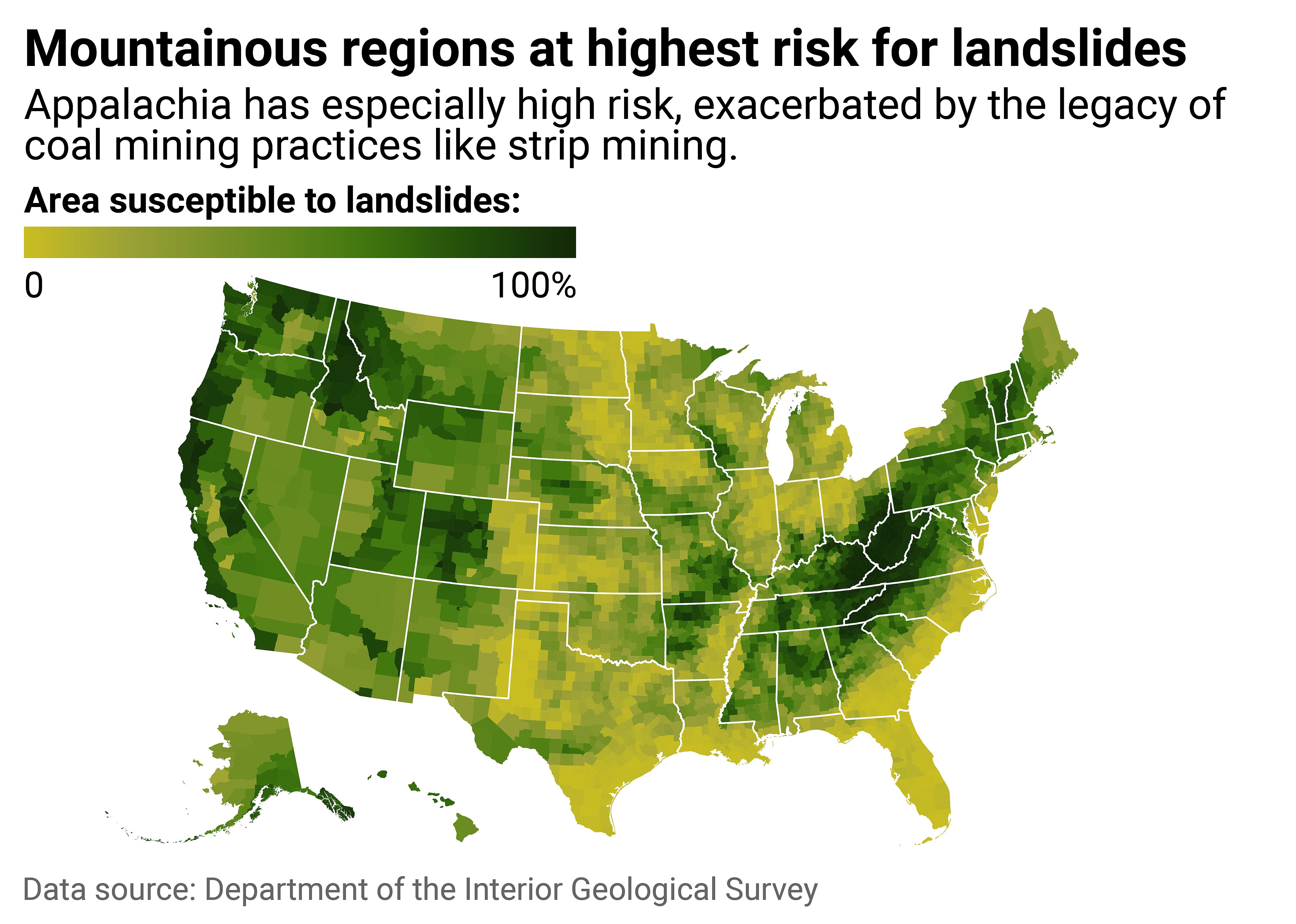
As climate change strengthens hurricanes and increases the frequency and severity of extreme weather events, the risk of landslides is also rising. To get a clearer picture of where the risk is greatest, Truck Parking Club mapped county-level data from the Department of the Interior Geological Survey, then ranked Minnesota counties by the share of their land that is susceptible to landslides as part of a larger national analysis. Data was published in September 2024. Counties are displayed by the share of their land area that is susceptible to landslides.

Counties within mountain ranges have high landslide susceptibility

Truck Parking Club

1 / 51

Counties within mountain ranges have high landslide susceptibility

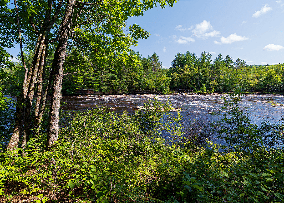
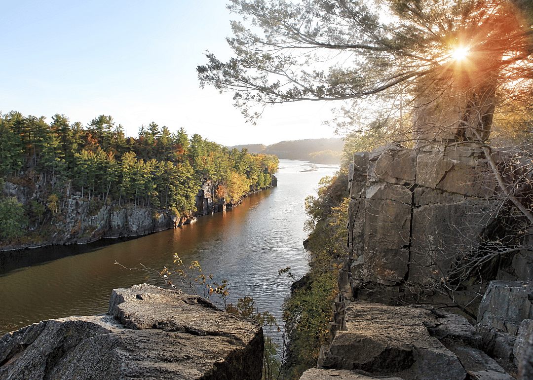
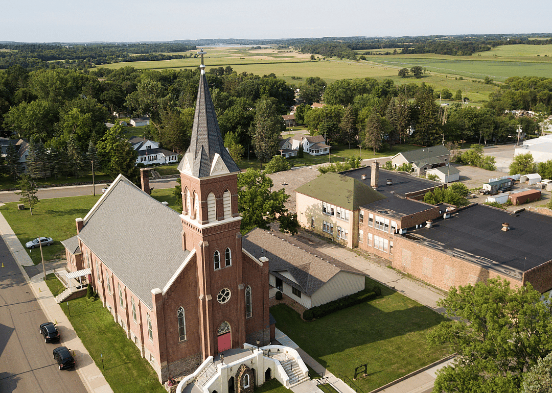
In Minnesota, over half of the land is susceptible to landslides in 5 counties.

A landslide occurs when rock, debris, or earth moves down a slope. Inclines like hills and bluffs are a critical element of slides, meaning mountainous regions are at higher risk. Typically, landslides are triggered by forces like heavy rainfall, snowmelt, earthquakes, volcanic activity, human activities, or some combination of factors. Often, they're impossible to predict.

According to the Geological Survey, places where weak or fractured earth sit on steep slopes are likely to experience landslides—for example, areas with a history of strip mining. In Appalachia, about 1,400 square miles of land are scarred by strip mining within the Ohio River basin, according to an Inside Climate News analysis of satellite imagery. Together, the "waste rock" left behind, increasing stream flows, and heavy rainfalls brought on by climate change create a deadly recipe for landslides. This part of Appalachia is also near the Gulf of Mexico, where fast-warming waters stir up exceptionally fast-growing storms, as was the case with Hurricane Helene.

Combined, these elements create the highest vulnerability to landslides in the region. Much of West Virginia, in particular, is at risk: In 47 of the state's 55 counties, more than 90% of the land is susceptible to slides. Parts of Virginia, Kentucky, Ohio, Tennessee, and North Carolina are also exceedingly vulnerable.

Parts of California's coastline have also been plagued by major landslides. Earlier this year, a rockslide destroyed a part of Highway 1 along the state's famed Big Sur. The earth below the highway isn't sturdy, and wetter storms are further weakening it, contributing to more frequent and severe landslides. The majestic Big Sur stretch is an iconic road trip and tourism destination, where the highway winds along cliffs above the Pacific Ocean. However, it was forced to close to most traffic, and still offers just one lane at some points.

Other landslide risk factors include population growth, rapid land use changes, urbanization, heavy logging and deforestation, and inappropriate use of lands—slopes in particular. Wildfires also generate landslide hazards, leaving behind excess debris that can be dragged down during floods, as was the case in Big Sur.

The heightened frequency and severity of landslides are a direct consequence of logging, mining, and climate change, with massive repercussions for safety and critical infrastructure in the U.S. and around the world.

Hazard maps like those from the Geological Survey are a tool that federal, state, and local governments can use to identify landslide vulnerabilities and prepare for them. Preparation and mitigation efforts might include landslide drills, evacuation plans, improved drainage systems, and slope stabilization. Governments in susceptible areas can adopt disaster-resilient building codes and standards, as well as restrictions on mining and logging.

In some cases, such as Highway 1, there are no obvious solutions to fully protect against landslides. Still, with increased awareness and response plans, people can make more informed decisions on where to live (or safely visit) and can prepare themselves for landslides and their aftermath.

Read on to see where in Minnesota is most vulnerable to the growing landslide threat.
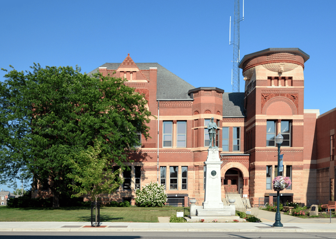
#50. Freeborn County

Canva

2 / 51

#50. Freeborn County

- Percent susceptible area: 10.8%
- Total susceptible area: 76 square miles

#49. Koochiching County

Kallie Kantos // Shutterstock

3 / 51

#49. Koochiching County

- Percent susceptible area: 10.8%
- Total susceptible area: 147 square miles

#48. Grant County

Canva

4 / 51

#48. Grant County

- Percent susceptible area: 11.0%
- Total susceptible area: 62 square miles

#47. Meeker County

Sam Wagner // Shutterstock

5 / 51

#47. Meeker County

- Percent susceptible area: 11.2%
- Total susceptible area: 69 square miles

#46. Lyon County

PBouman // Shutterstock

6 / 51

#46. Lyon County

- Percent susceptible area: 11.5%
- Total susceptible area: 83 square miles

#45. Isanti County

Canva

7 / 51

#45. Isanti County

- Percent susceptible area: 11.7%
- Total susceptible area: 48 square miles

#44. Kanabec County

Barbarajo // Shutterstock

8 / 51

#44. Kanabec County

- Percent susceptible area: 11.8%
- Total susceptible area: 60 square miles

#43. Waseca County

Jack Linell // Shutterstock

9 / 51

#43. Waseca County

- Percent susceptible area: 12.7%
- Total susceptible area: 53 square miles

#42. Sherburne County

Canva

10 / 51

#42. Sherburne County

- Percent susceptible area: 13.6%
- Total susceptible area: 58 square miles

#41. Nicollet County

Canva

11 / 51

#41. Nicollet County

- Percent susceptible area: 13.9%
- Total susceptible area: 62 square miles

#40. Anoka County

Canva

12 / 51

#40. Anoka County

- Percent susceptible area: 14.4%
- Total susceptible area: 55 square miles

#39. Morrison County

Canva

13 / 51

#39. Morrison County

- Percent susceptible area: 15.2%
- Total susceptible area: 160 square miles

#38. Pine County

Joe Ferrer // Shutterstock

14 / 51

#38. Pine County

- Percent susceptible area: 15.9%
- Total susceptible area: 200 square miles

#37. Chisago County

Canva

15 / 51

#37. Chisago County

- Percent susceptible area: 16.0%
- Total susceptible area: 66 square miles

#36. Lincoln County

Canva

16 / 51

#36. Lincoln County

- Percent susceptible area: 16.0%
- Total susceptible area: 87 square miles

#35. Blue Earth County

Canva

17 / 51

#35. Blue Earth County

- Percent susceptible area: 16.7%
- Total susceptible area: 126 square miles

#34. Stearns County

Canva

18 / 51

#34. Stearns County

- Percent susceptible area: 16.7%
- Total susceptible area: 224 square miles

#33. Todd County

Canva

19 / 51

#33. Todd County

- Percent susceptible area: 17.5%
- Total susceptible area: 161 square miles

#32. Beltrami County

Canva

20 / 51

#32. Beltrami County

- Percent susceptible area: 18.7%
- Total susceptible area: 271 square miles

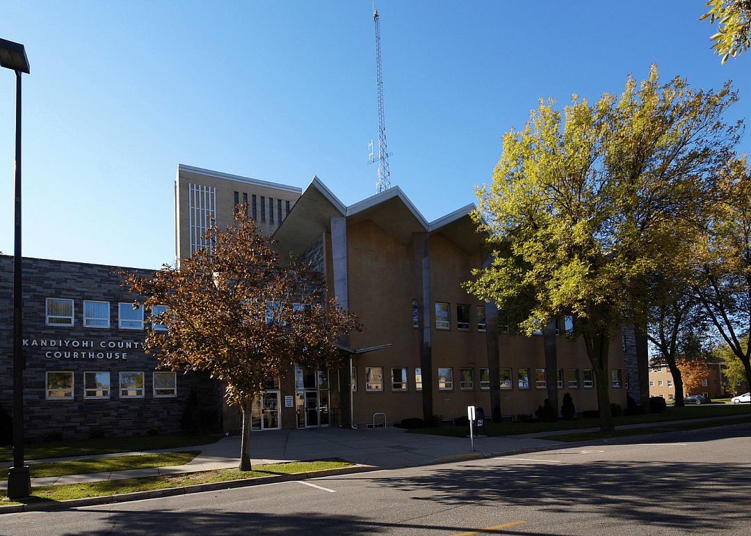
#31. Kandiyohi County

Canva

21 / 51

#31. Kandiyohi County

- Percent susceptible area: 18.8%
- Total susceptible area: 151 square miles

#30. Aitkin County

Jackie Mullen // Shutterstock

22 / 51

#30. Aitkin County

- Percent susceptible area: 20.8%
- Total susceptible area: 238 square miles

#29. Pope County

Canva

23 / 51

#29. Pope County

- Percent susceptible area: 20.9%
- Total susceptible area: 141 square miles

#28. Wright County

Jacob Boomsma // Shutterstock

24 / 51

#28. Wright County

- Percent susceptible area: 21.9%
- Total susceptible area: 149 square miles

#27. Mahnomen County

JTrnka // Shutterstock

25 / 51

#27. Mahnomen County

- Percent susceptible area: 24.2%
- Total susceptible area: 135 square miles

#26. Carlton County

Joe Ferrer // Shutterstock

26 / 51

#26. Carlton County

- Percent susceptible area: 24.6%
- Total susceptible area: 173 square miles

#25. Crow Wing County

Canva

27 / 51

#25. Crow Wing County

- Percent susceptible area: 24.6%
- Total susceptible area: 231 square miles

#24. Le Sueur County

Canva

28 / 51

#24. Le Sueur County

- Percent susceptible area: 25.1%
- Total susceptible area: 113 square miles

#23. Douglas County

Canva

29 / 51

#23. Douglas County

- Percent susceptible area: 28.6%
- Total susceptible area: 186 square miles

#22. Carver County

Canva

30 / 51

#22. Carver County

- Percent susceptible area: 28.8%
- Total susceptible area: 105 square miles

#21. Rice County

Titima Ying To // Shutterstock

31 / 51

#21. Rice County

- Percent susceptible area: 29.2%
- Total susceptible area: 145 square miles

#20. Cass County

Canva

32 / 51

#20. Cass County

- Percent susceptible area: 29.6%
- Total susceptible area: 513 square miles

#19. Dakota County

Canva

33 / 51

#19. Dakota County

- Percent susceptible area: 30.7%
- Total susceptible area: 177 square miles

#18. Clearwater County

Tudoran Andrei // Shutterstock

34 / 51

#18. Clearwater County

- Percent susceptible area: 30.8%
- Total susceptible area: 267 square miles

#17. Itasca County

Cory Hart // Shutterstock

35 / 51

#17. Itasca County

- Percent susceptible area: 31.1%
- Total susceptible area: 681 square miles

#16. Otter Tail County

Canva

36 / 51

#16. Otter Tail County

- Percent susceptible area: 32.1%
- Total susceptible area: 627 square miles

#15. Olmsted County

Canva

37 / 51

#15. Olmsted County

- Percent susceptible area: 33.3%
- Total susceptible area: 218 square miles

#14. Goodhue County

Joe Ferrer // Shutterstock

38 / 51

#14. Goodhue County

- Percent susceptible area: 37.5%
- Total susceptible area: 284 square miles

#13. Becker County

Canva

39 / 51

#13. Becker County

- Percent susceptible area: 38.1%
- Total susceptible area: 492 square miles

#12. Scott County

Sam Wagner // Shutterstock

40 / 51

#12. Scott County

- Percent susceptible area: 38.8%
- Total susceptible area: 139 square miles

#11. Ramsey County

Canva

41 / 51

#11. Ramsey County

- Percent susceptible area: 40.2%
- Total susceptible area: 65 square miles

#10. Hubbard County

Debbie Center // Shutterstock

42 / 51

#10. Hubbard County

- Percent susceptible area: 41.1%
- Total susceptible area: 371 square miles

#9. St. Louis County

Canva

43 / 51

#9. St. Louis County

- Percent susceptible area: 41.4%
- Total susceptible area: 2,114 square miles

#8. Hennepin County

Checubus // Shutterstock

44 / 51

#8. Hennepin County

- Percent susceptible area: 42.5%
- Total susceptible area: 241 square miles

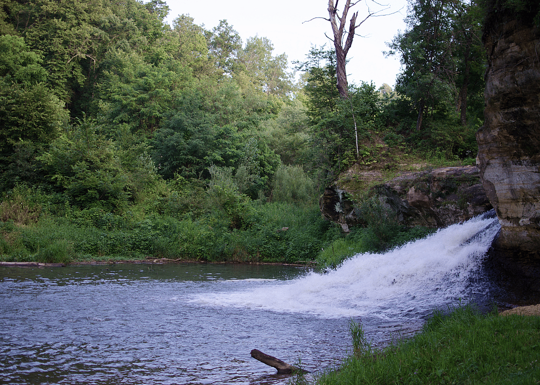
#7. Fillmore County

Joe Ferrer // Shutterstock

45 / 51

#7. Fillmore County

- Percent susceptible area: 43.0%
- Total susceptible area: 371 square miles

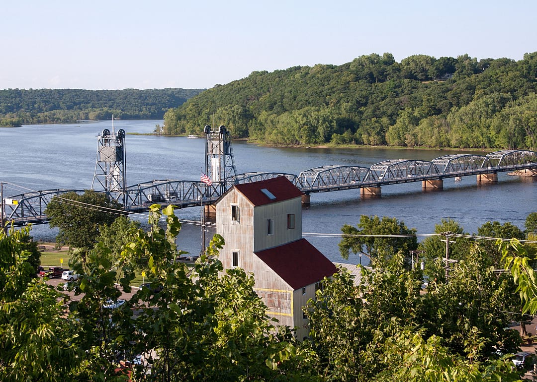
#6. Washington County

Jeff Lueders // Shutterstock

46 / 51

#6. Washington County

- Percent susceptible area: 44.5%
- Total susceptible area: 178 square miles

#5. Wabasha County

Ken Wolter // Shutterstock

47 / 51

#5. Wabasha County

- Percent susceptible area: 51.4%
- Total susceptible area: 269 square miles

#4. Lake County

Canva

48 / 51

#4. Lake County

- Percent susceptible area: 51.5%
- Total susceptible area: 1,037 square miles

#3. Winona County

Canva

49 / 51

#3. Winona County

- Percent susceptible area: 60.1%
- Total susceptible area: 378 square miles

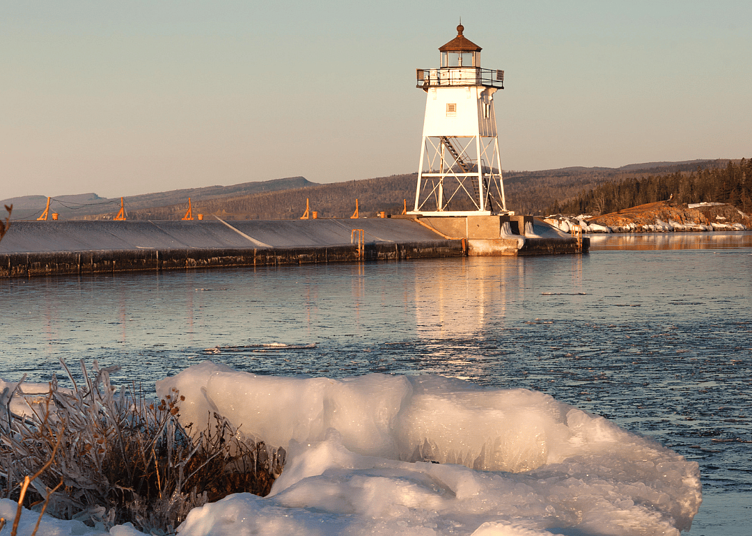
#2. Cook County

Canva

50 / 51

#2. Cook County

- Percent susceptible area: 64.1%
- Total susceptible area: 942 square miles

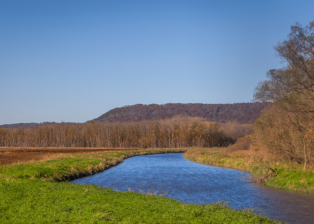
#1. Houston County

D.H.Photography // Shutterstock

51 / 51

#1. Houston County

- Percent susceptible area: 71.7%
- Total susceptible area: 397 square miles

This story features data reporting and writing by Paxtyn Merten and is part of a series utilizing data automation across 50 states.