ESOlex // Shutterstock
Johnstown 7-day weather forecast
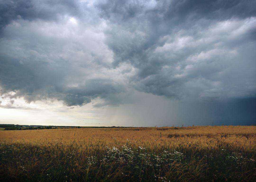
Stacker created the forecast for Johnstown, Pennsylvania using data from OpenWeather. This week's high is 19 °F on Monday, while the low is -16 °F on Saturday. There is expected to be 1 sunny day and snow on 7 days this week.
NWS State College PA has issued a extreme cold watch until Tuesday at 01:00 PM and a winter storm warning until Monday at 01:00 PM.
Monday, January 26
- High of 19 °F, low of 7 °F (94% humidity)- Overcast with a 100% chance of snow (4 mm of snow)
- Moderate risk of harm from sun exposure (2 UV index)
- Moderate breeze (15 mph wind)
- Sunrise at 7:30 AM, sunset at 5:26 PM
You may also like:
Cheapest gas stations in Johnstown
1 / 6
afoto6267 // Shutterstock
Tuesday, January 27
- High of 17 °F, low of 1 °F (89% humidity)
- Fair with a 100% chance of snow (1 mm of snow)
- Moderate risk of harm from sun exposure (2 UV index)
- Fresh breeze (19 mph wind)
- Sunrise at 7:29 AM, sunset at 5:27 PM
- Fair with a 100% chance of snow (1 mm of snow)
- Moderate risk of harm from sun exposure (2 UV index)
- Fresh breeze (19 mph wind)
- Sunrise at 7:29 AM, sunset at 5:27 PM
2 / 6
Andrew Lever // Shutterstock
Wednesday, January 28
- High of 14 °F, low of -2 °F (84% humidity)
- Overcast with a 36% chance of snow (0 mm of snow)
- Moderate breeze (17 mph wind)
- Sunrise at 7:28 AM, sunset at 5:28 PM
- Overcast with a 36% chance of snow (0 mm of snow)
- Moderate breeze (17 mph wind)
- Sunrise at 7:28 AM, sunset at 5:28 PM
3 / 6
Skreidzeleu // Shutterstock
Thursday, January 29
- High of 14 °F, low of 3 °F (88% humidity)
- Overcast with a 20% chance of snow (1 mm of snow)
- Moderate risk of harm from sun exposure (2 UV index)
- Moderate breeze (15 mph wind)
- Sunrise at 7:27 AM, sunset at 5:29 PM
- Overcast with a 20% chance of snow (1 mm of snow)
- Moderate risk of harm from sun exposure (2 UV index)
- Moderate breeze (15 mph wind)
- Sunrise at 7:27 AM, sunset at 5:29 PM
4 / 6
Marian Weyo // Shutterstock
Friday, January 30
- High of 15 °F, low of -12 °F (81% humidity)
- Overcast with a 20% chance of snow (0 mm of snow)
- Moderate risk of harm from sun exposure (3 UV index)
- Light breeze (7 mph wind)
- Sunrise at 7:26 AM, sunset at 5:31 PM
- Overcast with a 20% chance of snow (0 mm of snow)
- Moderate risk of harm from sun exposure (3 UV index)
- Light breeze (7 mph wind)
- Sunrise at 7:26 AM, sunset at 5:31 PM
5 / 6
Valeriy Boyarskiy // Shutterstock
Saturday, January 31
- High of 14 °F, low of -16 °F (90% humidity)
- Overcast with a 22% chance of snow (1 mm of snow)
- Moderate risk of harm from sun exposure (3 UV index)
- Gentle breeze (10 mph wind)
- Sunrise at 7:25 AM, sunset at 5:32 PM
- Overcast with a 22% chance of snow (1 mm of snow)
- Moderate risk of harm from sun exposure (3 UV index)
- Gentle breeze (10 mph wind)
- Sunrise at 7:25 AM, sunset at 5:32 PM
You may also like:
Coat drives near Johnstown
6 / 6
Gaschwald // Shutterstock
Sunday, February 1
- High of 16 °F, low of -3 °F (92% humidity)
- Overcast with a 63% chance of snow (1 mm of snow)
- Moderate risk of harm from sun exposure (3 UV index)
- Moderate breeze (15 mph wind)
- Sunrise at 7:24 AM, sunset at 5:33 PM
- Full moon
- Overcast with a 63% chance of snow (1 mm of snow)
- Moderate risk of harm from sun exposure (3 UV index)
- Moderate breeze (15 mph wind)
- Sunrise at 7:24 AM, sunset at 5:33 PM
- Full moon