
Highest and lowest elevation points in every state
Highest and lowest elevation points in every state
Every state has a high point and a low point, some so subtle and hidden that many residents may not even know where they're located.
To find and determine the highest and lowest points in every state, Stacker consulted a dataset from a 2001 U.S. Geological Survey on elevations and distances. The elevations listed here were determined from surveys and topographic maps and are listed relative to sea level.
Some of the high points are the most dramatic and breathtaking peaks in the world, like Mount McKinley, the highest point in North America, and Mauna Kea in Hawaii.
Others high points are distinctive for reasons that have less to do with their actual elevations. Iowa's nearly flat Hawkeye Point is a quirky tourist destination, and Mount Sunflower, an elevated patch of remote ranchland in Kansas, is distinguishable by a sign, a guestbook, and a standing invitation to visit its owners. Rhode Island's highest point, Jerimoth Hill, was widely known for years for the curmudgeonly owner who threatened visitors to keep them away.
Some of the lowest points have their claims to fame, like the Colorado River as it rushes through the Grand Canyon, and Death Valley, where temperatures are some of the highest in the world. At North Carolina's lowest point, Kitty Hawk, Wilbur and Orville Wright took their first successful flight.
A few peaks are the subjects of debate over whether their elevation is true or if they are imposters to the highest ranks. Some of those controversies remain unresolved. Disputes surround other peaks over whether their traditional Native American names, or those bestowed on them by white settlers and authorities, are appropriate.
Some of the highest points are so hard to climb that they are out of reach to all but the most intrepid and skilled climbers. Some of the lowest points are so unimposing that passersby easily miss them.
With this list, sit back and enjoy the view.
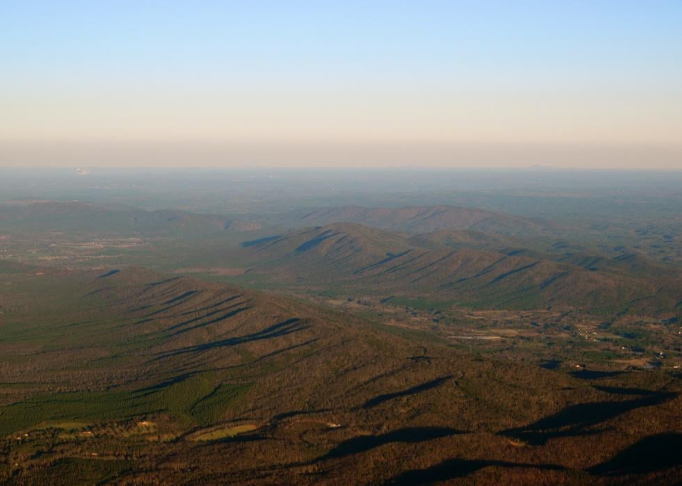
Alabama
- Highest point: Cheaha Mountain (in Cleburne County)
--- Elevation: 2,407 feet
- Lowest point: Gulf of Mexico
--- Elevation: Sea level
Alabama is mostly low-lying coastal plains—some of them swampy and some rich with soil used to grow cotton. Its Piedmont area to the east, where Cheaha Mountain is located, is a source of limestone, coal, iron ore, and marble. Cheaha Mountain means “high place” in the Creek Indian language
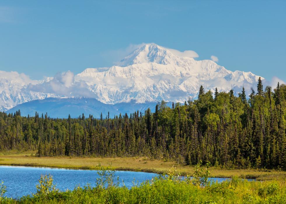
Alaska
- Highest point: Mount McKinley
--- Elevation: 20,320 feet
- Lowest point: Pacific Ocean
--- Elevation: Sea level
The name of Mount McKinley, the highest point in North America, was changed to Denali by the National Park Service under President Barack Obama in 2015. Denali was the name of the peak in the native Athabaskan languages, and differences over the name of the mountain had raged for decades. Strong support for the McKinley name came from the president’s home state of Ohio. The U.S. purchased Alaska from Russia in 1867. William McKinley, the 25th U.S. president, never visited the area.
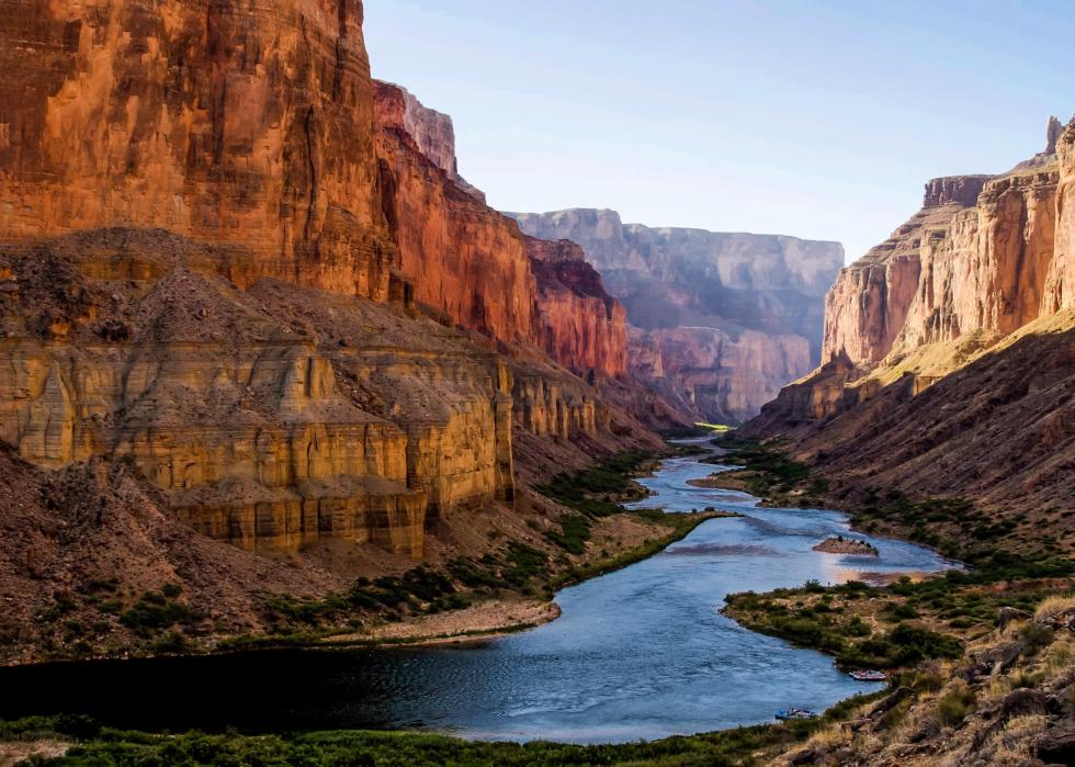
Arizona
- Highest point: Humphreys Peak (in Coconino County)
--- Elevation: 12,633 feet
- Lowest point: Colorado River (in Yuma County)
--- Elevation: 70 feet
The Colorado River runs 277 miles through the Grand Canyon, and it is popular for whitewater rafting. The entire Colorado River stretches 1,450 miles from the Rocky Mountains to the Gulf of California. Humphreys Peak is north of Flagstaff, in the San Francisco Peaks mountain range.
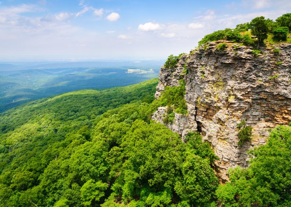
Arkansas
- Highest point: Magazine Mountain (in Logan County)
--- Elevation: 2,753 feet
- Lowest point: Ouachita River (in Ashley County)
--- Elevation: 55 feet
Mount Magazine got its name from French explorers who thought the loud echo of a landslide sounded like the explosion of an ammunition magazine. The parklands around Mount Magazine are used for outdoor sports like mountain biking, all-terrain vehicle driving, technical rock climbing, and hang gliding. The Ouachita River runs some 600 miles through the Ouachita Mountains, where it is popular for fishing, before dropping into lowlands and bayous that stretch south into Louisiana.

California
- Highest point: Mount Whitney (in Inyo and Tulare counties)
--- Elevation: 14,494 feet
- Lowest point: Death Valley (in Inyo County)
--- Elevation: -282 feet
Mount Whitney is the tallest peak in the contiguous 48 U.S. states, on the boundary of Sequoia National Park and Inyo National Forest. To the east is Death Valley, where the lowest point is Badwater Basin. Its landscape is covered with a thick layer of salt that collects from rainwater during heavy storms then evaporates. Summer temperatures in Death Valley often exceed 120 degrees Fahrenheit in the shade, and average rainfall is less than 2 inches.
Colorado
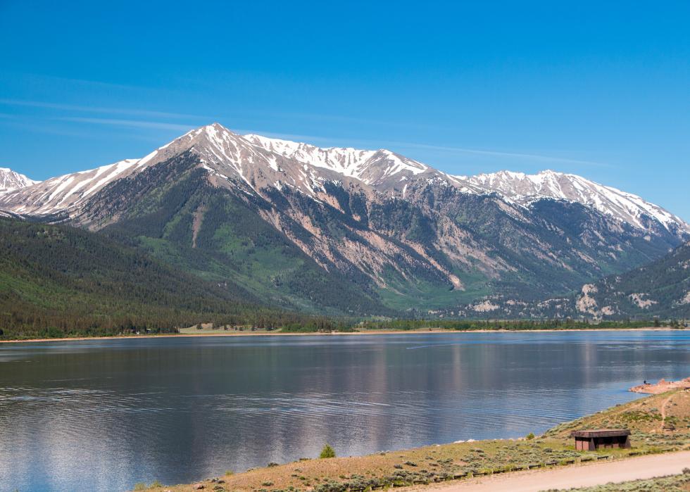
- Highest point: Mount Elbert (in Lake County)
--- Elevation: 14,433 feet
- Lowest point: Arikaree River (in Yuma County)
--- Elevation: 3,315 feet
The lowest point in Colorado at the Arikaree River is the highest of all the low points in the country, and it is higher than the highest points in 18 states. Mount Elbert, about 20 miles east of Aspen, is the highest point in the Rocky Mountains.
Connecticut
- Highest point: Mount Frissell on south slope at state line (in Litchfield County)
--- Elevation: 2,380 feet
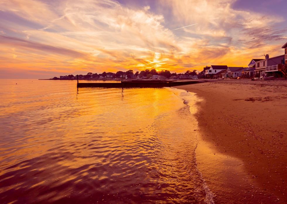
- Lowest point: Long Island Sound
--- Elevation: Sea level
Mount Frissell is located in the Berkshire Mountains of northwestern Connecticut, and its peak is actually in neighboring Massachusetts. The Long Island Sound stretches more than 100 miles, forming the state’s southern border across from New York.
Delaware
- Highest point: On Ebright Road at Delaware-Pennsylvania state line (in New Castle County)
--- Elevation: 1,448 feet
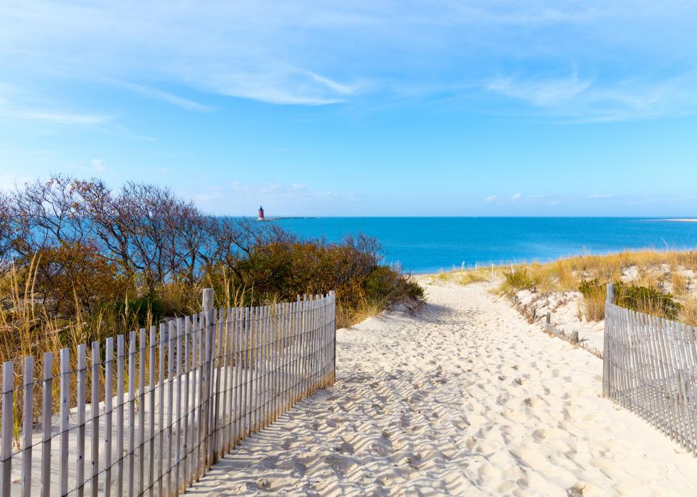
- Lowest point: Atlantic Ocean
--- Elevation: Sea level
Most of Delaware sits on the Atlantic Coastal Plain that consists of silt, gravel, and sand that eroded from highlands further inland. The state’s rolling hills to the north near Pennsylvania are part of the Appalachian Mountains’ foothills.
Florida
- Highest point: Britton Hill (in Walton County)
--- Elevation: 345 feet
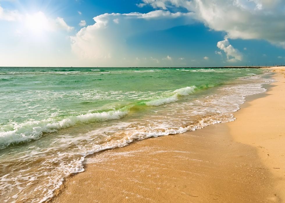
- Lowest point: Atlantic Ocean
--- Elevation: Sea level
The highest point in Florida, Britton Hill, is the lowest high point of the 50 states. Just south of the Alabama border, it is situated in the red clay uplands of the Florida Panhandle. Statewide, the mean elevation is just 100 feet above sea level.
Georgia
- Highest point: Brasstown Bald (in Towns and Union counties)
--- Elevation: 4,784 feet
- Lowest point: Atlantic Ocean
--- Elevation: Sea level
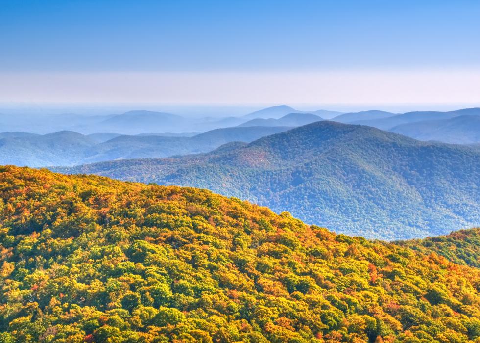
Georgia's highest point, Brasstown Bald in the Blue Ridge Mountains, is also called Mount Etonah. Rivers in the Blue Ridge range are the source of the state's hydroelectric power. Georgia is the largest U.S. state east of the Mississippi River, with the mountains in the north, central hills, and coastal flatlands. The Okefenokee Swamp, a National Wildlife Refuge of almost a half million acres, sits in the state's southern region.
Hawaii
- Highest point: Pu’u Wēkiu, Mauna Kea (in Hawaii County)
--- Elevation: 13,796 feet
- Lowest point: Pacific Ocean
--- Elevation: Sea level
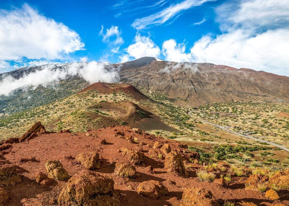
Hawaii consists of 132 islands that are the tops of submerged volcanic mountains. All but a handful are tiny islands of rock, coral, and sand. Mauna Kea, on the largest island that is inhabited, is dormant and last erupted between 4,500 and 6,000 years ago from at least seven vents near its summit. It is the only Hawaiian volcano that was covered in part by glaciers during the most recent ice ages.
Idaho
- Highest point: Borah Peak (in Custer County)
--- Elevation: 12,662 feet
- Lowest point: Snake River (in Nez Perce County)
--- Elevation: 710 feet
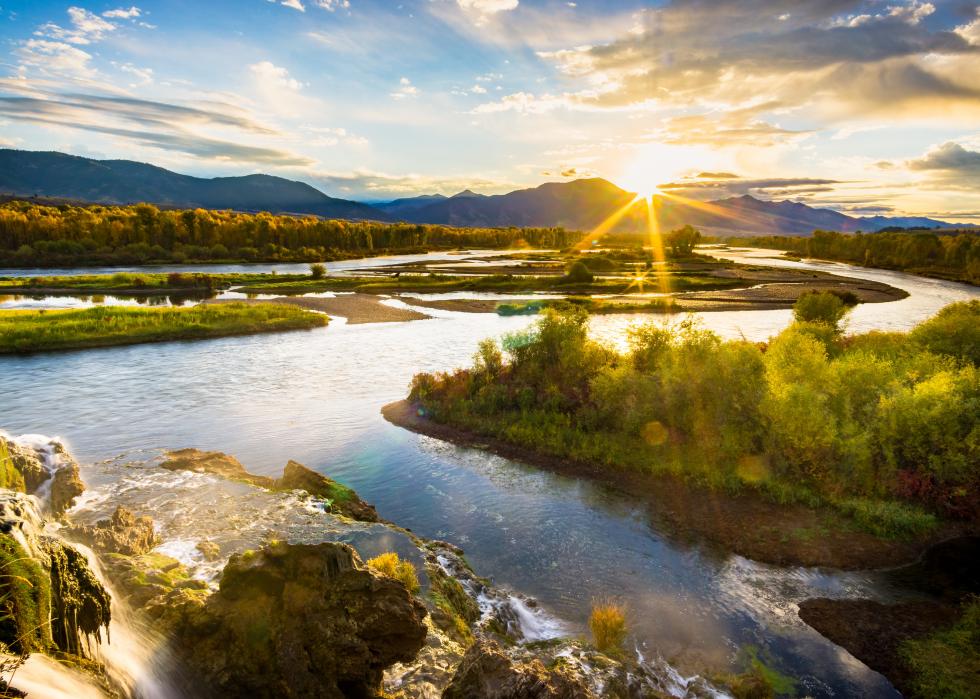
Idaho ranges from desert and farmland to densely forested mountains and granite peaks. It has 80 identified mountain ranges, including the Lost River Range where Borah Peak is located. The peak has almost 6,000 feet of prominence, a means of measuring a mountain that looks at how much elevation rises above the closest saddle below that is linked to other peaks. The most commonly used route up Borah Peak is called Chickenout Ridge. The peak’s summit shifted seven feet higher in a 1983 earthquake.
Illinois
- Highest point: Charles Mound (in Jo Daviess County)
--- Elevation: 1,235 feet
- Lowest point: Mississippi River (in Alexander County)
--- Elevation: 279 feet
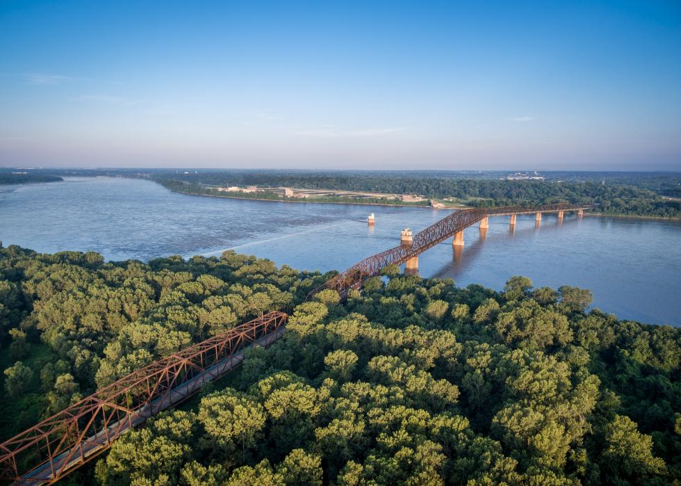
Nearly all of Illinois is fertile plains leveled by Ice Age glaciers. Charles Mound, a gently sloping hill, is on private property near the Wisconsin border. Public access is limited to a few days a year.
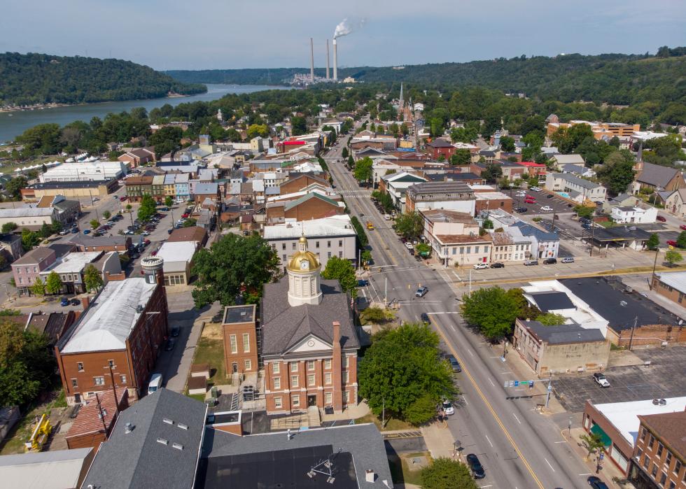
Indiana
- Highest point: Hoosier Hill (in Wayne County)
--- Elevation: 1,257 feet
- Lowest point: Ohio River (in Posey County)
--- Elevation: 320 feet
Hoosier Hill sits in a woody region of Till Plains, a section of the Midwest’s fertile Corn Belt. The origin of the word Hoosier to describe an Indiana resident is uncertain. Some say it comes from a pioneer’s traditional response of “who’s here?” to visitors knocking at a cabin door, and others point to a contractor named Hoosier who hired laborers from Indiana to work on the Louisville and Portland Canal who were called “Hoosier’s men.” At the state’s lowest point, in the southwestern tip between Kentucky and Illinois, the Wabash River flows into the Ohio River that in turn meets the Mississippi River.
Iowa
- Highest point: Hawkeye Point (in Osceola County)
--- Elevation: 1,670 feet
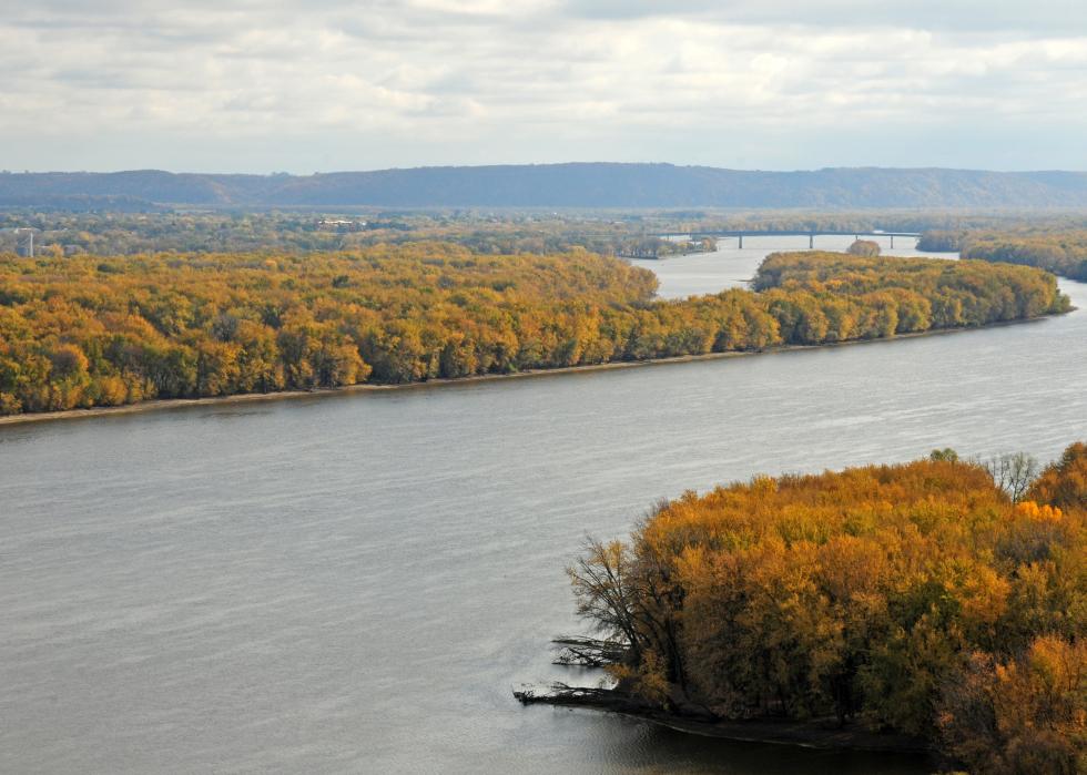
- Lowest point: Mississippi River (in Lee)
--- Elevation: 480 feet
Iowa's Hawkeye Point is a flat point that rises 20 feet around the surrounding farmland, which also is flat. It is county-owned and an offbeat tourist destination, with agricultural exhibits, camping, an information kiosk, and an observation deck in a silo. Signs point in the directions of the highest points in the other 49 U.S. states.
Kansas
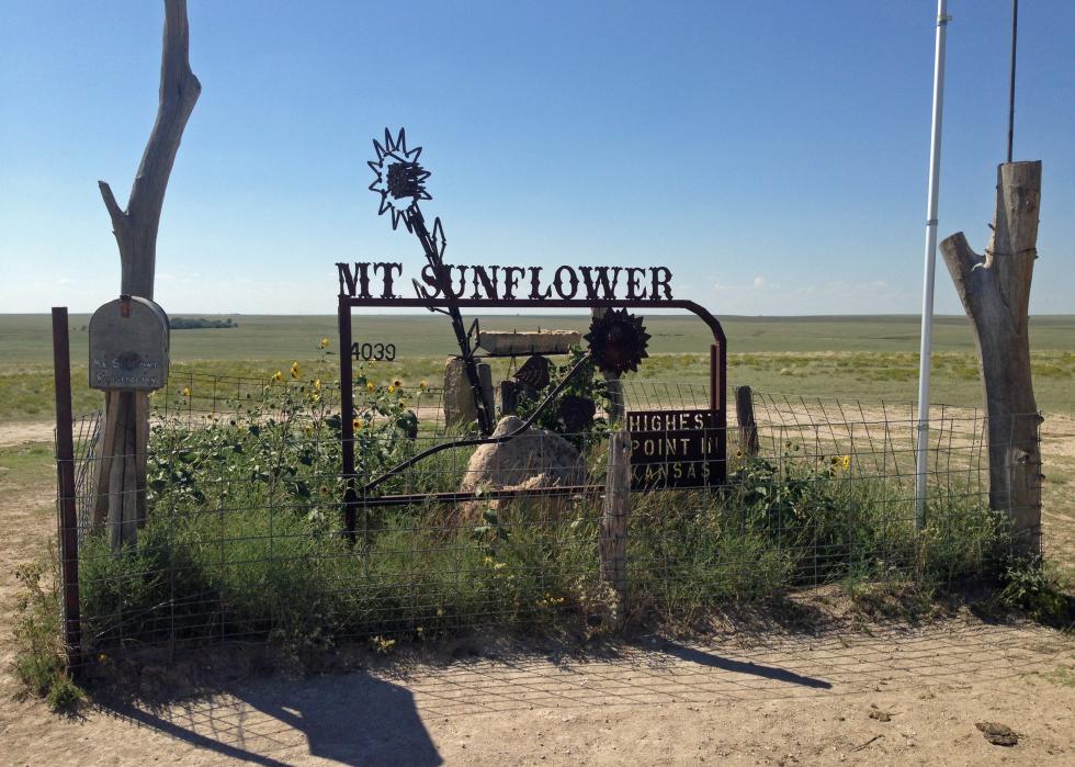
- Highest point: Mount Sunflower (in Wallace County)
--- Elevation: 4,039 feet
- Lowest point: Verdigris River (in Montgomery)
--- Elevation: 679 feet
Mount Sunflower is an elevated patch of ranchland in far western Kansas, about a half-mile from the Colorado border. Its owners have marked it with a sign, some sculpture, a picnic area, a guestbook, and an invitation to visit their nearby house to “tell us about your trials and tribulations to the lofty summit.” Getting there does involve a stretch of driving on an unnamed gravel road.

Kentucky
- Highest point: Black Mountain (in Harlan County)
--- Elevation: 4,145 feet
- Lowest point: Mississippi River (in Fulton)
--- Elevation: 257 feet
Kentucky’s geography features rolling bluegrass meadows, coal-filled hills, rocky ridges with caves and tunnels, and the Cumberland Plateau, part of the Appalachian Plateau that stretches from New York to Alabama, where Black Mountain is located. The lowest point at the Mississippi River is in the state’s southwest corner, bordering Missouri and Tennessee.

Louisiana
- Highest point: Driskill Mountain (in Bienville County)
--- Elevation: 535 feet
- Lowest point: New Orleans (in Orleans)
--- Elevation: -8 feet
Louisiana’s highest point is a mere 535 feet, less than the length of two American football fields stood on end. Driskill Mountain sits to the north, near Arkansas. The rest of the state is prairie, marshland, barrier beaches, ridged front lands along the Mississippi River, and 13,000-square-miles of river delta to the south. Below sea level, New Orleans is protected by a system of levees and man-made waterways, parts of which gave way in Hurricane Katrina in 2005, flooding most of the city.
Maine
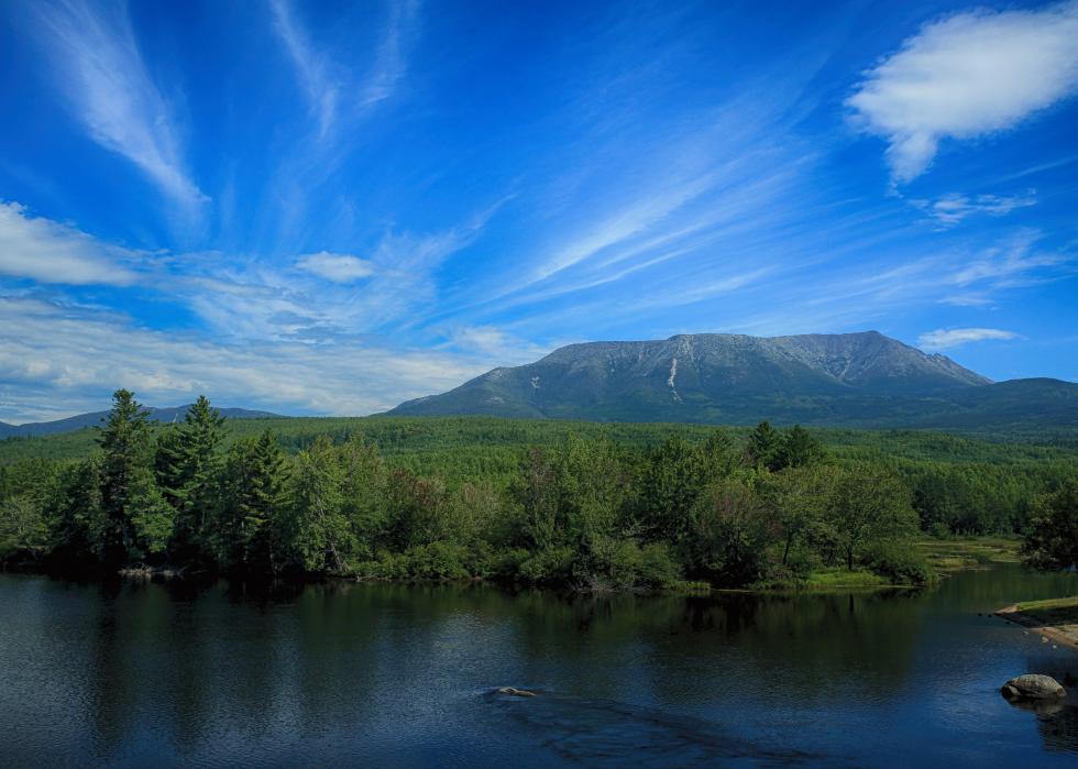
- Highest point: Mount Katahdin (in Piscataquis County)
--- Elevation: 5,268 feet
- Lowest point: Atlantic Ocean
--- Elevation: Sea level
Mount Katahdin is part of the White Mountains, a range that has nine other mountains higher than 4,000 feet and 97 mountains higher than 3,000 feet. Maine’s coastal lowlands reach from the Atlantic Ocean inland 10 to 40 miles. Further inland is farmland on the Aroostook Plateau, where the state’s potato crop is grown.
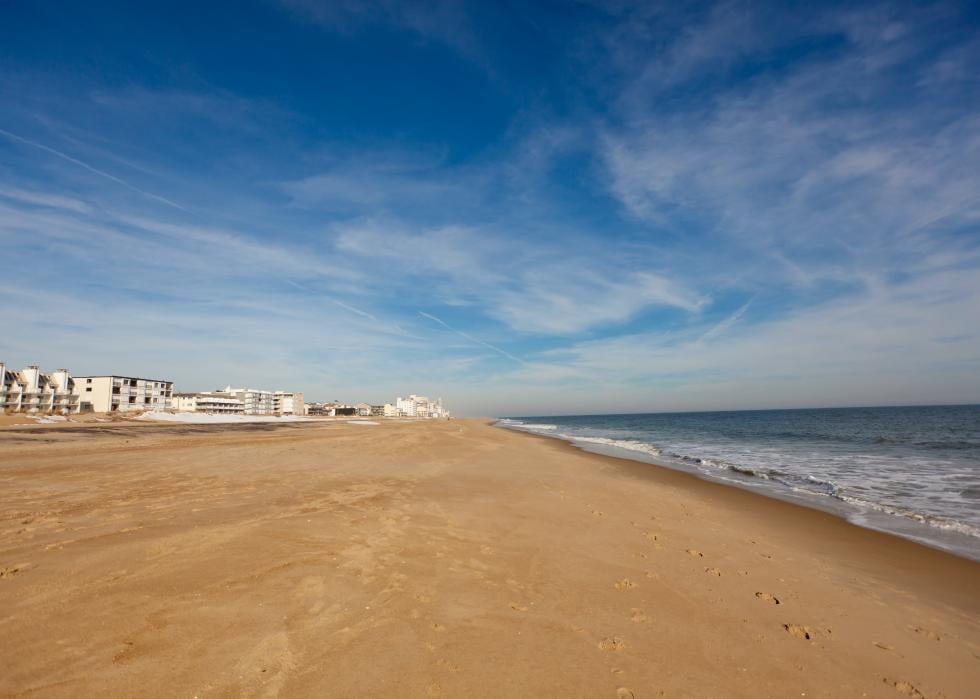
Maryland
- Highest point: Hoye Crest (in Garrett County)
--- Elevation: 3,360 feet
- Lowest point: Atlantic Ocean
--- Elevation: Sea level
Maryland's marshy, swampy Eastern Shore along the Chesapeake Bay and the Atlantic Ocean is used for growing tobacco, and the state's fertile center is used for dairy farming. To the west are the Blue Ridge Mountains, the Appalachian Ridge and Plateau, and the forested Allegheny Mountains, one of which is the high point of Backbone Mountain.

Massachusetts
- Highest point: Mount Greylock (in Berkshire County)
--- Elevation: 3,491 feet
- Lowest point: Atlantic Ocean
--- Elevation: Sea level
Massachusetts’ highest point, Mount Greylock, is in the state’s northwest corner, where the Green Mountains reach down from Vermont. The geography shifts lower moving eastward to the swamps, ponds and beaches of its popular Atlantic coast.

Michigan
- Highest point: Mount Arvon (in Baraga County)
--- Elevation: 1,979 feet
- Lowest point: Lake Erie
--- Elevation: 571 feet
Mount Arvon is situated in the Huron Mountain Range on Michigan’s Upper Peninsula, about 10 miles from Lake Superior. The honor of being the state’s highest point has been a bit of a moving target—Porcupine Mountain and then Mount Curwood were thought to be the top peak until a 1982 U.S. Geological Survey found Mount Arvon was 11 inches higher. Michigan reaches into four of the five Great Lakes, including Lake Erie, its lowest point.
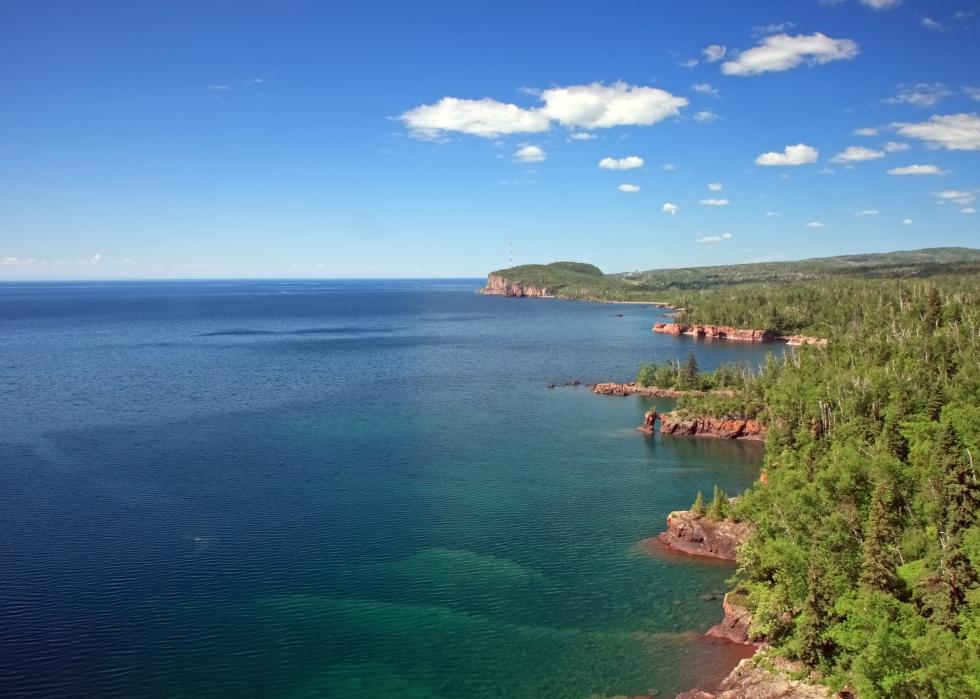
Minnesota
- Highest point: Eagle Mountain (in Cook County)
--- Elevation: 2,301 feet
- Lowest point: Lake Superior
--- Elevation: 601 feet
Eagle Mountain lies to the north of Lake Superior in rugged isolated terrain. It is about midway between Duluth, Minnesota, which is about 100 miles to the southwest, and Thunder Bay, Ontario, about 100 miles to the northeast. The headwaters of the 2,500-mile-long Mississippi River are found in Minnesota’s Lake Itasca, more than 200 miles north of Minneapolis.
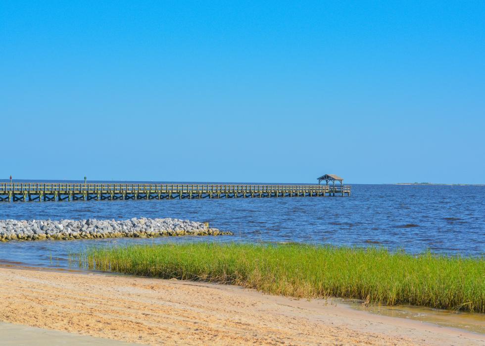
Mississippi
- Highest point: Woodall Mountain (in Tishomingo County)
--- Elevation: 806 feet
- Lowest point: Gulf of Mexico
--- Elevation: Sea level
Mississippi is a river delta of prairie, pine woods, and coastal beaches. Woodall Mountain, its highest point in the east, is a monadnock—a hill with a rock cap more erosion-resistant than its surroundings. It was originally called Yow Hill and renamed in 1878 for a local sheriff, Zephaniah Woodall. During the Civil War, the Battle of Iuka took place nearby, with about 4,500 Union troops defeating a force of 3,200 Confederate troops. Travel guides caution that visitors should be careful during hunting season, as most of the land around Woodall Mountain is owned by a gun club.
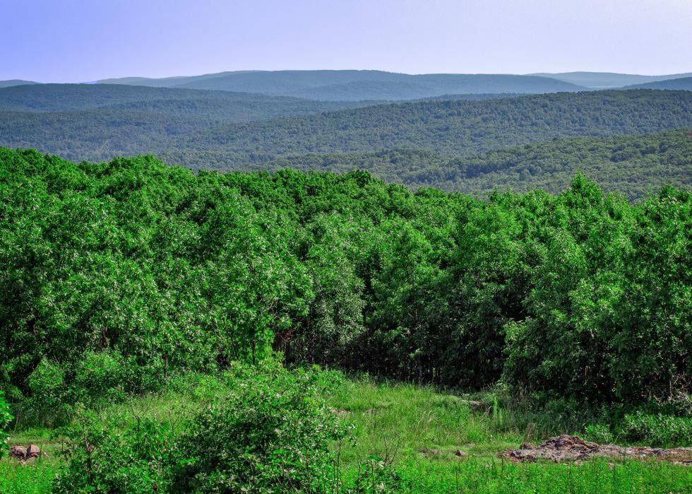
Missouri
- Highest point: Taum Sauk Mountain (in Iron County)
--- Elevation: 1,772 feet
- Lowest point: Saint Francis River (in Dunklin County)
--- Elevation: 230 feet)
Missouri's highest point, Taum Sauk Mountain, is the site of its tallest waterfall, Mina Sauk Falls. The peak is named for Piankashaw Chief Taum Sauk, and Mina Sauk was his daughter. According to legend, Mina Sauk fell in love with an Osage warrior, which angered her father, and the chief had the young man put to death. Mina Sauk leaped to her death, and the unhappy mountain split open, creating the falls to wash away the blood. The state's lowest point lies on the St. Francis River, which flows south to Arkansas' St. Francis Sunken Lands, a wetlands area popular for fishing and duck hunting.
Montana
- Highest point: Granite Peak (in Park County)
--- Elevation: 12,799 feet
- Lowest point: Kootenai River (in Lincoln County)
--- Elevation: 1,800 feet
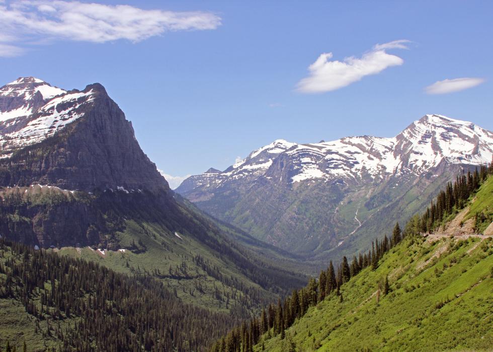
Montana’s highest point, Granite Peak, is located in the Rocky Mountains in the western part of the state. The region has more than 50 ranges, including the Beartooth, Absaroka, Bitterroot, Flathead, Crazy, and Tobacco Root, and many of the peaks are snow-covered for most of the year. The state’s lowest point is near the Canadian border, where the Kootenai River flows from British Columbia through Montana to northern Idaho. The Continental Divide runs through the Rocky Mountains, and Montana is the only state with rivers draining east into the Gulf of Mexico and west into the Pacific Ocean.
Nebraska
- Highest point: Panorama Point (in Kimball County)
--- Elevation: 5,424 feet
- Lowest point: Missouri River (in Richardson County)
--- Elevation: 840 feet
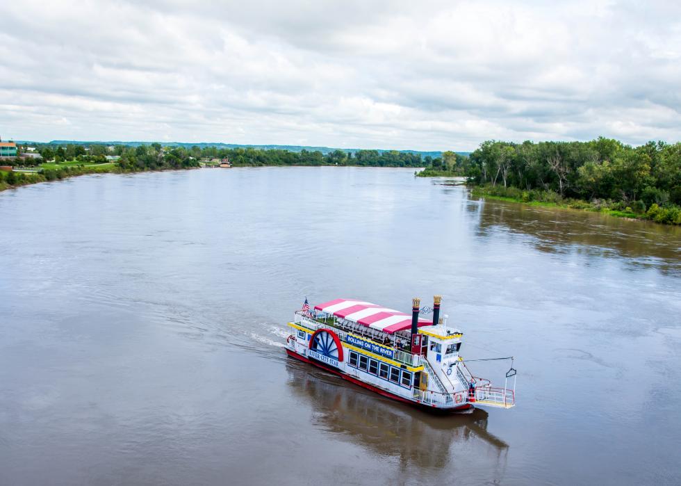
The unassuming Panorama Point is a rise in a privately owned field near Nebraska’s state lines with Colorado and Wyoming. It is designated with a marker, a bench, and a guestbook for visitors. More than 500 miles to the east is the state’s lowest point, where the Missouri River delineates its border with the state of Missouri.
Nevada
- Highest point: Boundary Peak (in Esmeralda County)
--- Elevation: 13,140 feet
- Lowest point: Colorado River (in Clark County)
--- Elevation: 479 feet
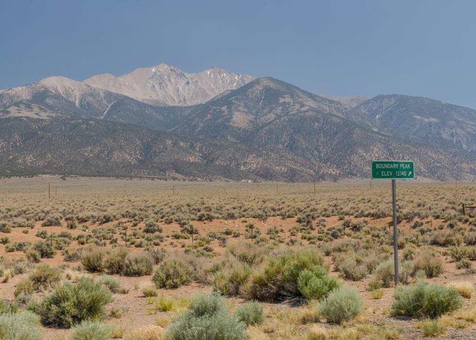
Boundary Peak is a twin mountain with Montgomery Peak, which is 200 feet higher but across the border in California. The state line runs along the saddle between the two mountains. The official boundary was not settled until 1980, after a dispute over a 19th century survey that placed Boundary Peak in California. The view encompasses the Mono Lake basin, the Sierra Nevada Mountains, the White Mountains Wilderness, and Nevada’s Basin and Range. Clark County, where the Colorado River is the state’s lowest point, is the site of Hoover Dam, which created Lake Mead, the largest reservoir in the country.
New Hampshire
- Highest point: Mount Washington (in Coos County)
--- Elevation: 6,288 feet
- Lowest point: Atlantic Ocean
--- Elevation: Sea level
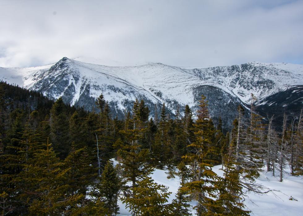
Mount Washington is located in the White Mountains in northern New Hampshire. It is part of the Presidential Range, a 19-mile stretch of 13 mountains. They were named in descending order, with the tallest named after the first president, the second tallest after John Adams, the third tallest after Thomas Jefferson, and so on. Much of the rest of the state is fertile farmland. Its lowest point sits at the state’s 13-mile Atlantic Ocean coastline, the shortest of any ocean-fronting U.S. state.

New Jersey
- Highest point: High Point (in Sussex County)
--- Elevation: 1,803 feet
- Lowest point: Atlantic Ocean
--- Elevation: Sea level
New Jersey is known for its Atlantic Ocean coast, where shore towns and resorts like Asbury Park, Atlantic City, and Cape May are hugely popular. Its highest point lies in the northwest corner in the Kittatinny Mountains, part of the Appalachian Mountain range. The Appalachian Trail passes within a quarter-mile of High Point.
New Mexico
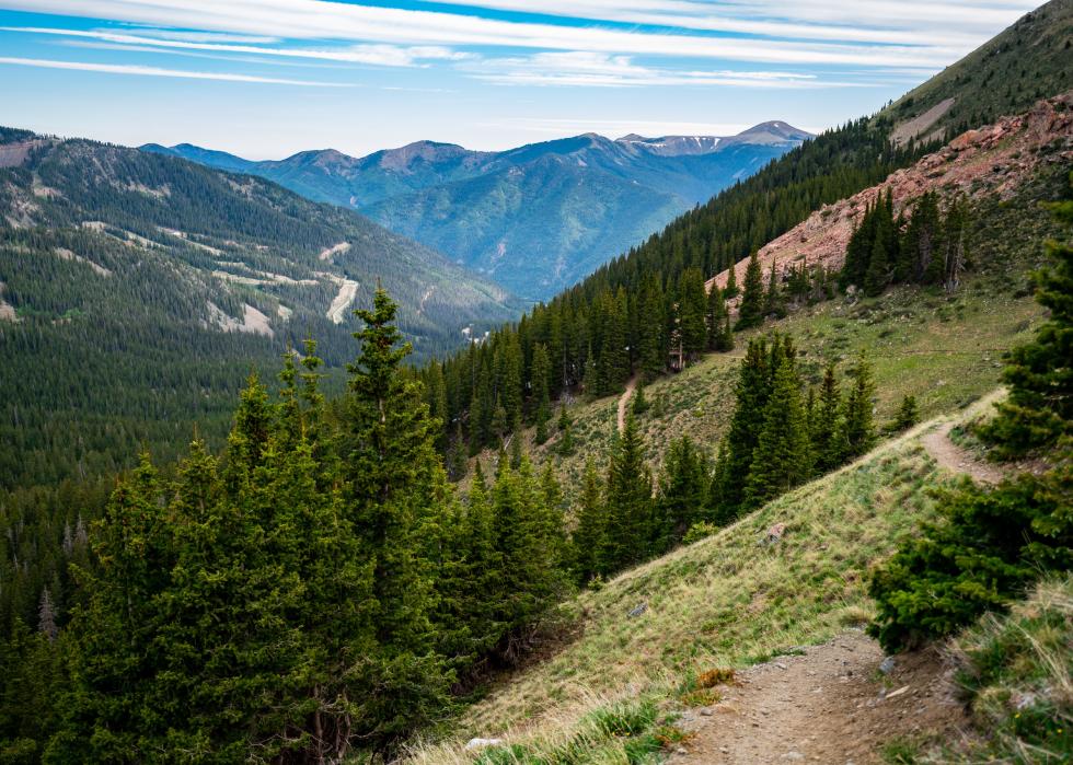
- Highest point: Wheeler Peak (in Taos County)
--- Elevation: 13,161 feet
- Lowest point: Red Bluff Reservoir (in Eddy County)
--- Elevation: 2,842 feet
Wheeler Peak, in the central part of New Mexico, is part of the Sangre de Cristo range of the Rocky Mountains. The mountain is east of the Rio Grande River, which slices southbound through the mountains. To the southeast, the state’s lowest point, the Red Bluff Reservoir reaches into New Mexico from Texas, where it was created by the building of a dam on the Pecos River in 1936 to provide water for hydroelectric power and irrigation.
New York
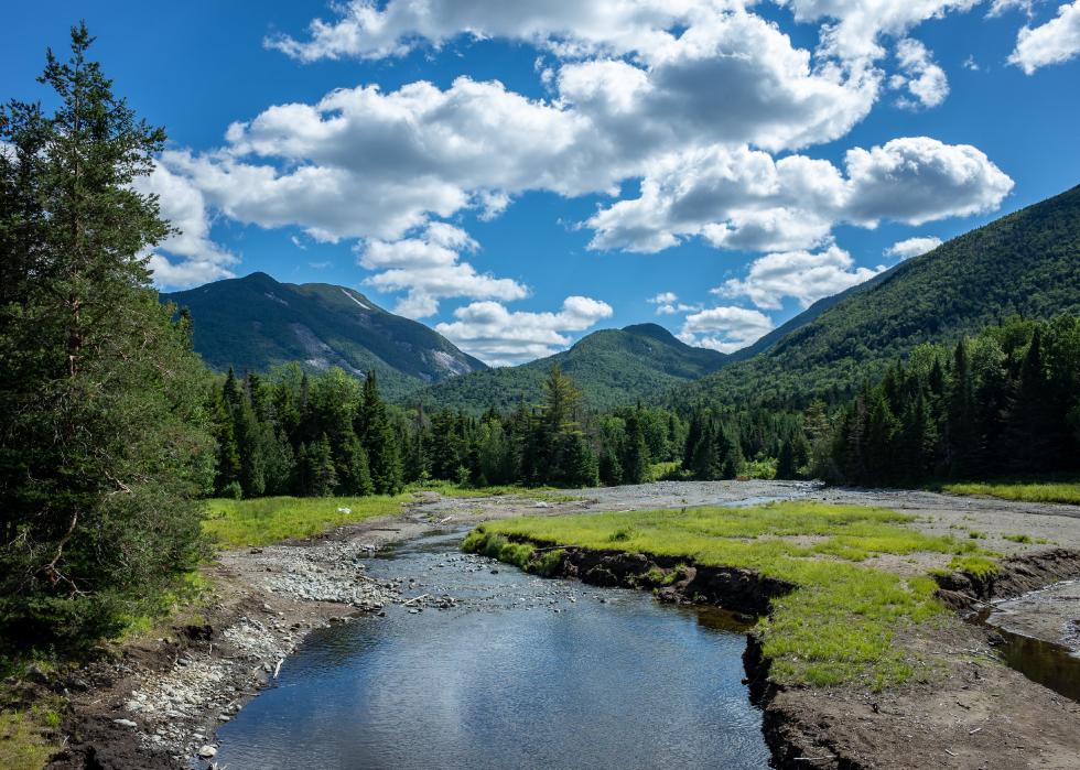
- Highest point: Mount Marcy (in Essex County)
--- Elevation: 5,344 feet
- Lowest point: Atlantic Ocean
--- Elevation: Sea level
New York’s diverse geography features the Adirondack Mountains between Lake Champlain and Lake Ontario, the Hudson River lowlands, the Catskill Mountains, the Finger Lakes, and Atlantic Ocean harbors and coastal beaches. Mount Marcy is in the Adirondacks, near Lake Placid where the 1980 Winter Olympics were held. At New York’s seacoast are well-known locations like Coney Island, Fire Island, and the affluent Hamptons resorts and homes on Long Island.
North Carolina
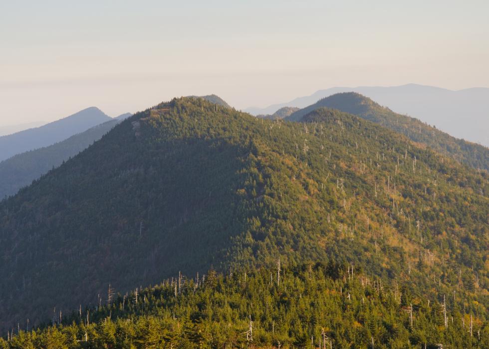
- Highest point: Mount Mitchell (in Yancey County)
--- Elevation: 6,684 feet
- Lowest point: Atlantic Ocean
--- Elevation: Sea level
Mount Mitchell is located in the Black Mountains, a range of the Blue Ridge Mountains in western North Carolina. It is the highest elevation east of the Mississippi River. Along the Atlantic coast, North Carolina’s beaches include Kitty Hawk on the Outer Banks, where Wilbur and Orville Wright flew the first engine-powered airplane in 1903.
North Dakota
- Highest point: White Butte (in Slope County)
--- Elevation: 3,506 feet
- Lowest point: Red River of the North (in Pembina County)
--- Elevation: 750 feet
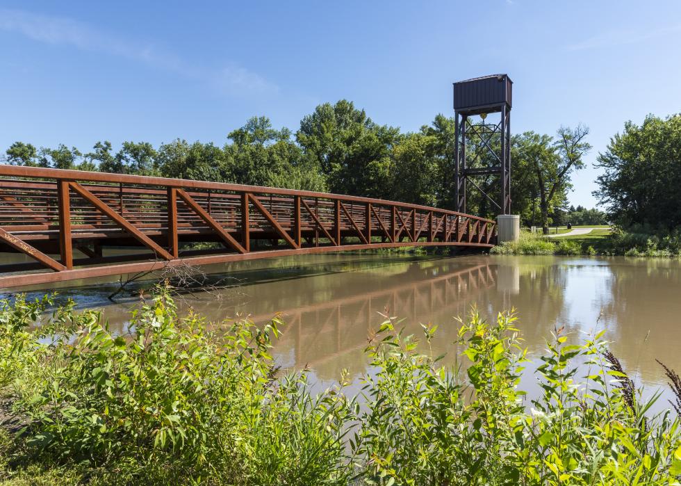
Eastern North Dakota features the flat Red River Valley, a region of farmland that borders Minnesota. The region is susceptible to flooding, and a major flood in 1997 heavily damaged several cities and towns along the Minnesota and North Dakota border. To the south and west are the Great Plains and the Badlands, a stretch of exquisite sandstone, limestone, and shale rock formations, where White Butte stands.

Ohio
- Highest point: Campbell Hill (in Logan County)
--- Elevation: 1,550 feet
- Lowest point: Ohio River (in Hamilton County)
--- Elevation: 455 feet
Ohio is a state of rolling hills, bordered at the north by Lake Erie. Campbell Hill, about 60 miles northwest of Columbus, is the state's highest point. Visitors caution that while it is about 300 feet higher than the land around it, the hill is broad and its elevation is hard to detect. The lowest point on the Ohio River is in the southwestern corner of the state.
Oklahoma
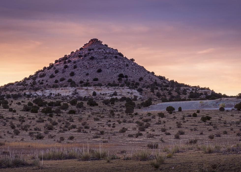
- Highest point: Black Mesa (in Cimarron County)
--- Elevation: 4,973 feet
- Lowest point: Little River (in McCurtain County)
--- Elevation: 289 feet
Most of Oklahoma is low hills, prairies, and flat plains, used for raising cattle and wheat. The Black Mesa, its highest point, sits in the grasslands of the Oklahoma Panhandle, a thin strip of land 34 miles wide that reaches west to New Mexico, bordered by Texas to the south and Colorado and Kansas to the north. The lowest point is Little River in the opposite corner of the state in the Red River Plains, where cotton and peanuts are harvested, near the Ouachita Mountains.
Oregon
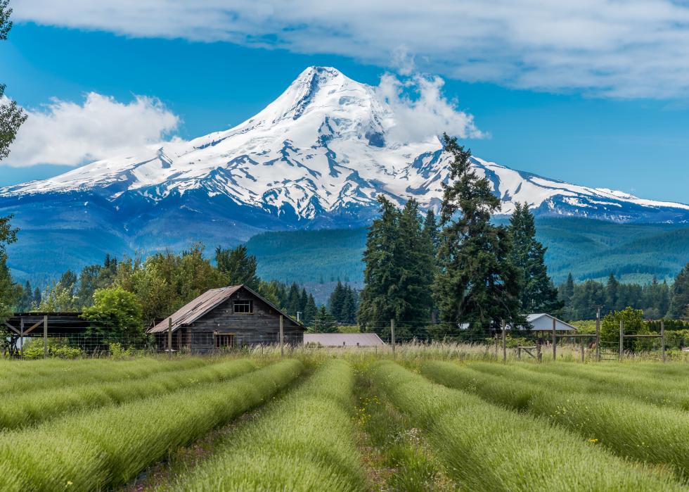
- Highest point: Mount Hood (in Clackamas and Hood River counties)
--- Elevation: 11,239 feet
- Lowest point: Pacific Ocean
--- Elevation: Sea level
Mount Hood is in the Cascade Mountains, which run north and south through Oregon. The peak has 11 glaciers and has the nation’s only year-round ski resort. Mount Hood is a volcano with periods of frequent eruptions and periods of dormancy that can last thousands of years. It has had two eruptions in the past 1,500 years. Oregon’s scenic and rugged Pacific Ocean coastline is 363 miles long.
Pennsylvania
- Highest point: Mount Davis (in Somerset County)
--- Elevation: 3,213 feet
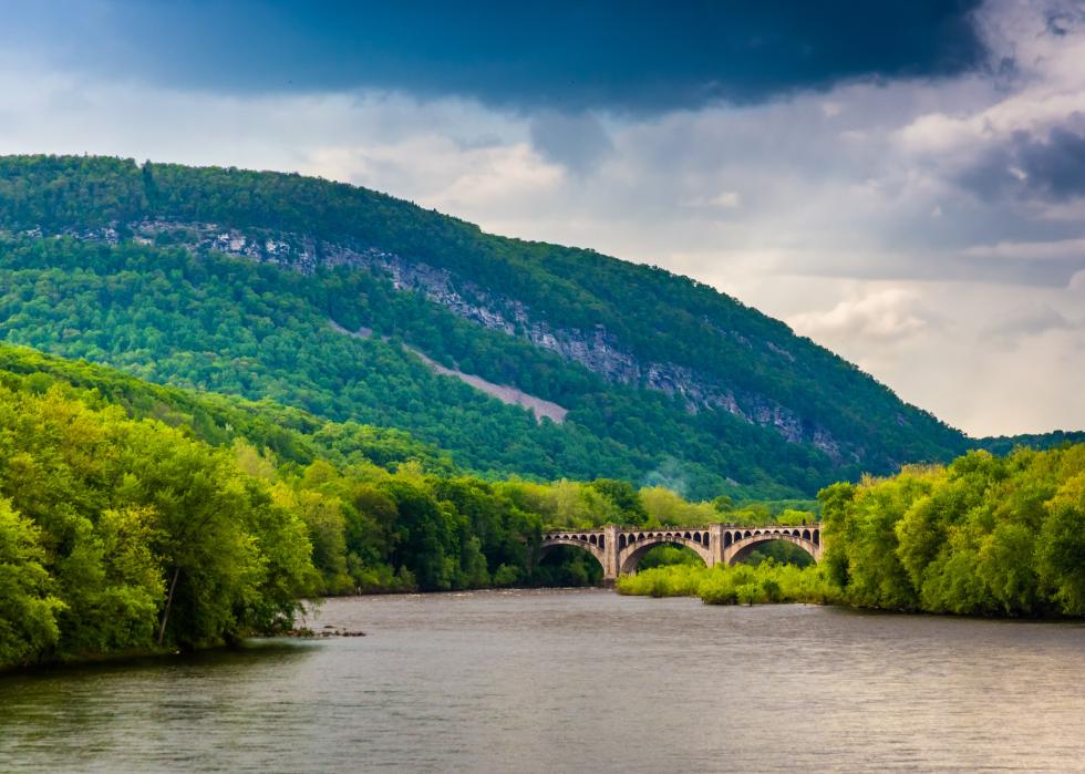
- Lowest point: Delaware River (in Delaware County)
--- Elevation: Sea level
Mount Davis is located in southwestern Pennsylvania in the Allegheny Mountains, which stretch diagonally across the state to the northeast. The 330-mile Delaware River, which defines Pennsylvania’s eastern state line with New Jersey and New York, is the longest river east of the Mississippi without dams.
Rhode Island
- Highest point: Jerimoth Hill (in Providence County)
--- Elevation: 812 feet
- Lowest point: Atlantic Ocean
--- Elevation: Sea level
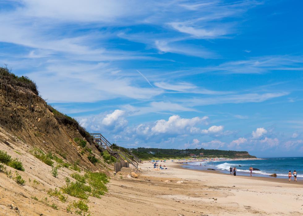
Most of Rhode Island’s topography is coastal lowlands, with lagoons, salt ponds, and sandy beaches popular with summer visitors. The elevation rises to the northwest, where Jerimoth Hill is located. Now owned by the state, the high point, which is a large rock about 200 yards from a road, was infamous for many years because a previous private owner, now deceased, begrudgingly only allowed access a few days a year and was known for threatening unwanted visitors.
South Carolina
- Highest point: Sassafras Mountain (in Pickens County)
--- Elevation: 3,560 feet
- Lowest point: Atlantic Ocean
--- Elevation: Sea level
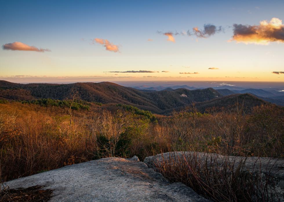
Sassafras Mountain is in the Blue Ridge Mountains in northwestern South Carolina. Part of the mountain actually is located in neighboring North Carolina. Three watersheds meet at the peak, so water draining down the east side of the mountain flows into rivers eastbound to the Atlantic, water down the south side flows into a different system to the Savannah River and then the Atlantic, while water on the mountain's north and west sides flows into the Tennessee River to the Ohio River to the Mississippi River to the Gulf of Mexico.
South Dakota
- Highest point: Harney Peak (in Pennington County)
--- Elevation: 7,242 feet
- Lowest point: Big Stone Lake (in Roberts County)
--- Elevation: 966 feet
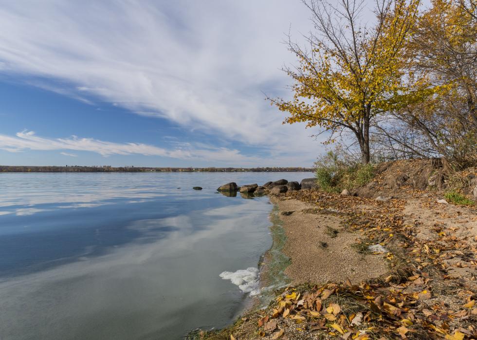
The highest point in South Dakota, Harney Peak, is in the Black Hills, a range of mineral-rich mountains that include Mount Rushmore and the Crazy Horse Memorial. The U.S. Geological Service changed the name to Black Elk Peak in 2016, saying the previous name was derogatory because U.S. Army General William Harney’s troops massacred Native Americans in an 1855 battle. But that decision failed to quell the controversy. Some Native Americans wanted to use a native name for the peak, while other residents favored keeping it as Harney. At the other end of the state, in the east, is Big Stone Lake on the Minnesota border. It is 27 miles long, but only a mile wide and 16 feet at its deepest point.

Tennessee
- Highest point: Clingmans Dome (in Sevier County)
--- Elevation: 6,643 feet
- Lowest point: Mississippi River (in Shelby County)
--- Elevation: 178 feet
Clingman’s Dome, in the Great Smoky Mountains, is the highest point in Tennessee and the highest point on the Appalachian Trail. The Dome is often surrounded by clouds and precipitation, and its temperature is often 10 to 20 degrees cooler than in the lowlands. The state’s low point at the Mississippi River is in Shelby County, home to the city of Memphis.
Texas
- Highest point: Guadalupe Peak (in Culberson County)
--- Elevation: 8,749 feet
- Lowest point: Gulf of Mexico
--- Elevation: Sea level
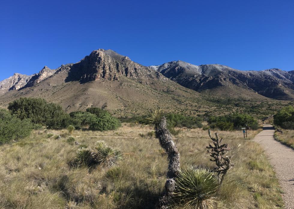
Guadalupe Peak, the highest point in Texas, sits in the far western part of the state in the Guadalupe Mountains, which are the remains of a giant fossil reef from an ancient sea that covered the area. Animals that once roamed there include the saber-toothed tiger, North American rhinoceros, and mammoth. The Apaches lived there when Spanish explorers arrived in the 16th century. The Texas coast at the Gulf of Mexico includes the cities of Galveston, Corpus Christie, and Brownsville.
Utah
- Highest point: Kings Peak (in Duchesne County)
--- Elevation: 13,528 feet
- Lowest point: Beaverdam Wash (in Washington County)
--- Elevation: 2,000 feet
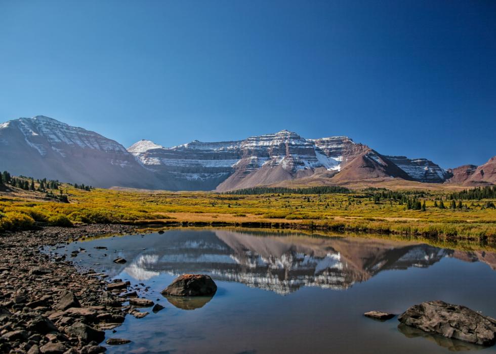
Kings Peak is in Utah’s Uinta Range, the only range of the Rocky Mountains that runs east to west. The state’s other distinctive geological features include the Great Salt Lake, the Bonneville Salt Flats, and the Colorado Plateau’s Bryce and Zion canyons. In the southwest is the Beaver Dam Wash, a seasonal stream near the Nevada border.
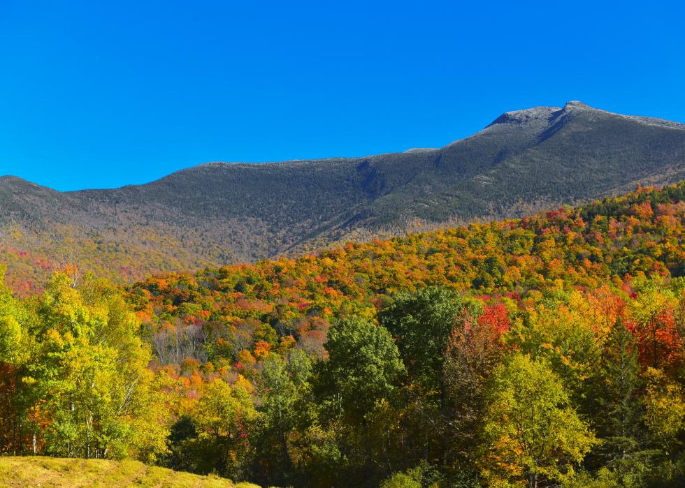
Vermont
- Highest point: Mount Mansfield (in Chittenden County)
--- Elevation: 4,393 feet
- Lowest point: Lake Champlain
--- Elevation: 95 feet
Mount Mansfield is in central Vermont's Green Mountains that are rich with marble, granite, and slate, and are a big part of state tourism. Lake Champlain, the state's lowest point, is the remnant of an inlet of the Atlantic Ocean, formed by retreating glaciers during the Ice Age.

Virginia
- Highest point: Mount Rogers (in Grayson and Smyth counties)
--- Elevation: 5,729 feet
- Lowest point: Atlantic Ocean
--- Elevation: Sea level
Virginia’s Blue Ridge Mountains, where Mount Rogers is located, are a range of the Appalachian Mountains. Access to Mount Rogers through Grayson Highlands State Park can provide a glimpse of wild ponies, descended from Shetland ponies introduced many years ago to help control vegetation. Virginia’s Atlantic Ocean coast includes the cities of Virginia Beach and Norfolk.

Washington
- Highest point: Mount Rainier (in Pierce County)
--- Elevation: 14,411 feet
- Lowest point: Pacific Ocean
--- Elevation: Sea level
Mount Rainier, located in the 700-mile chain of the Cascade Mountains, features 25 large named glaciers. The mountain actually has three summits, the highest of which is Columbia Crest. The mountain was traditionally called Tahoma by the Yakima Indians and formally named during a scouting expedition in 1792 after Admiral Peter Rainier of the British Navy, who never ventured to America.

West Virginia
- Highest point: Spruce Knob (in Pendleton County)
--- Elevation: 4,863 feet
- Lowest point: Potomac River (in Jefferson County)
--- Elevation: 240 feet
Spruce Knob is part of the Allegheny Mountains, a range riddled with caves and underground streams. The mountain is located within the Monongahela National Forest and the Spruce Knob-Seneca Rocks National Recreation Area.The state’s low point, the Potomac River, flows southeast to Washington D.C. and Chesapeake Bay.
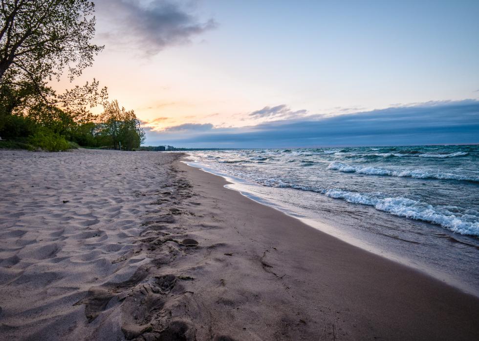
Wisconsin
- Highest point: Timms Hill (in Price County)
--- Elevation: 1,951 feet
- Lowest point: Lake Michigan
--- Elevation: 579 feet
Wisconsin’s highest point, Timms Hill, is located in its Northern Highlands, a forested region with hundreds of lakes carved out by retreating glaciers. Its low point at Lake Michigan includes the lakefront cities of Milwaukee and Sheboygan.
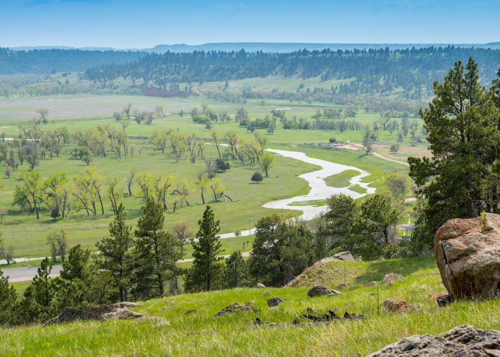
Wyoming
- Highest point: Gannett Peak (in Fremont County)
--- Elevation: 13,804 feet
- Lowest point: Belle Fourche River (in Crook County)
--- Elevation: 3,099 feet
Wyoming's topography to the east is the Great Plains, where the state's lowest point, the Belle Fourche River, is located. The Devils Tower National Monument, a striking granite formation, sits on the banks of the Belle Fourche River. To the west are the Rocky Mountains that include the Big Horn Mountains, the Laramie Mountains, and the Wind River Mountains, where this highest point, Gannett Peak, is located. It is considered one of the more difficult of the state highpoints to climb.


