See how many historic sites in Vermont are at risk of flooding
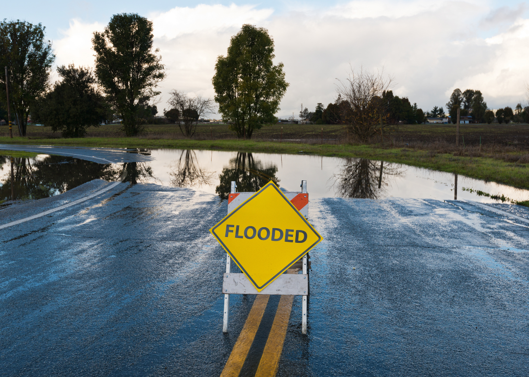
Rising sea levels. Runoff from rapidly melting snow and ice. Rivers and streams overflowing their banks. As climate change continues to wreak havoc on the environmental norms humans widely take for granted, the frequency and severity of extreme weather has increased on a global scale. Floods, the most common and fatal natural disasters in the U.S., continue to get more destructive. Catastrophic flooding events once thought to occur every 100 years could become annual happenings. And the nation's floodplains are projected to grow by roughly 45% by the end of the century.
Because of the deterioration and fragility of historical buildings, as well as long-term degradation of the natural environment around these structures, historic sites are often at serious risk of flooding. Stacker identified historic buildings of national significance across the U.S. located in census tracts with very or relatively high risk of flooding, using data from Federal Emergency Management Agency's National Risk Index and the National Register of Historic Places. The National Park Service outlines six criteria for what makes a historic building on the registry nationally significant, a less rigorous designation than being considered a National Historic Landmark. FEMA calculated the risk of flooding for each census tract by combining geospatial and historic flood-event data from the National Flood Insurance Program and National Oceanic and Atmospheric Administration. For each state, a maximum of three historic sites are listed in order of their flood risk, though many states have more at-risk sites in total. Colorado, Connecticut, and Idaho did not have nationally significant sites on the registry located in high-risk flood regions; as such they are absent from the national list.
Keep reading to see which historic sites are at risk of flooding in your state, or explore the national list with an interactive map here. Stacker is also publishing the raw data it merged to produce this story, available on GitHub and data.world.
Vermont by the numbers
- Historically significant buildings with risk of river flooding: 4
--- Robbins and Lawrence Armory and Machine Shop, Windsor (very high risk)
--- Vermont State House, Montpelier (very high risk)
--- Union Co-operative Store Bakery, Barre (relatively high risk)
The Vermont State House in Montpelier, Vermont's capitol, still serves as the statehouse today, 160 years after its construction. Montpelier is prone to flooding throughout the year but is particularly susceptible in the spring when melting snow and ice create significant runoff from the mountains, and heavy rain and ice jams compound the issue. Over the course of the 20th century alone, Montpelier experienced three significant floods that caused dozens of deaths and millions of dollars worth of damage.
Now that you know how many sites are at risk in your state, continue reading to see which states have the most historic sites at risk of flooding.
States with the most historic sites at risk of flooding
1. Florida: 32 historically significant buildings with risk of flooding
2. New York: 28 historically significant buildings with risk of flooding
3. Arizona: 24 historically significant buildings with risk of flooding
4. Pennsylvania: 22 historically significant buildings with risk of flooding
5. Texas: 21 historically significant buildings with risk of flooding


